Five days, three hikes, one near-fall, and heels that are making their opinions known again.
The week began with what was supposed to be 48 hours in Florida, made shorter by American Airlines (see last week’s post). With so much to do, the focus wasn’t on hiking or even working out. But after returning to California, I was still able to squeeze in a few solid hikes and a couple of strength classes in the remaining 5 days.
Saturday & Sunday, July 11 & 12 — Rest
Lee got to see the new Florida house for the first time, and he loves it! Whew! 😅
Set up HomeKit accessories, met the neighbors, and took Mom out for a belated birthday dinner.
Monday, July 13 — Strength
60 min Strength w/Adrian on Peloton
After not working out this weekend, I was looking for an intense workout. With our hectic travel weekend and late arrival last night, I wasn’t up for hiking so I opted for a 60 min Strength with Adrian. It was exactly what I needed, and I was exhausted by the end.
Tuesday, July 14 — Long
Sand Point Overlook via West Ridge and Aptos Creek Loop, The Forest of Nisene Marks State Park (AllTrails)
16.43 mi / 2,172 ft elevation gain
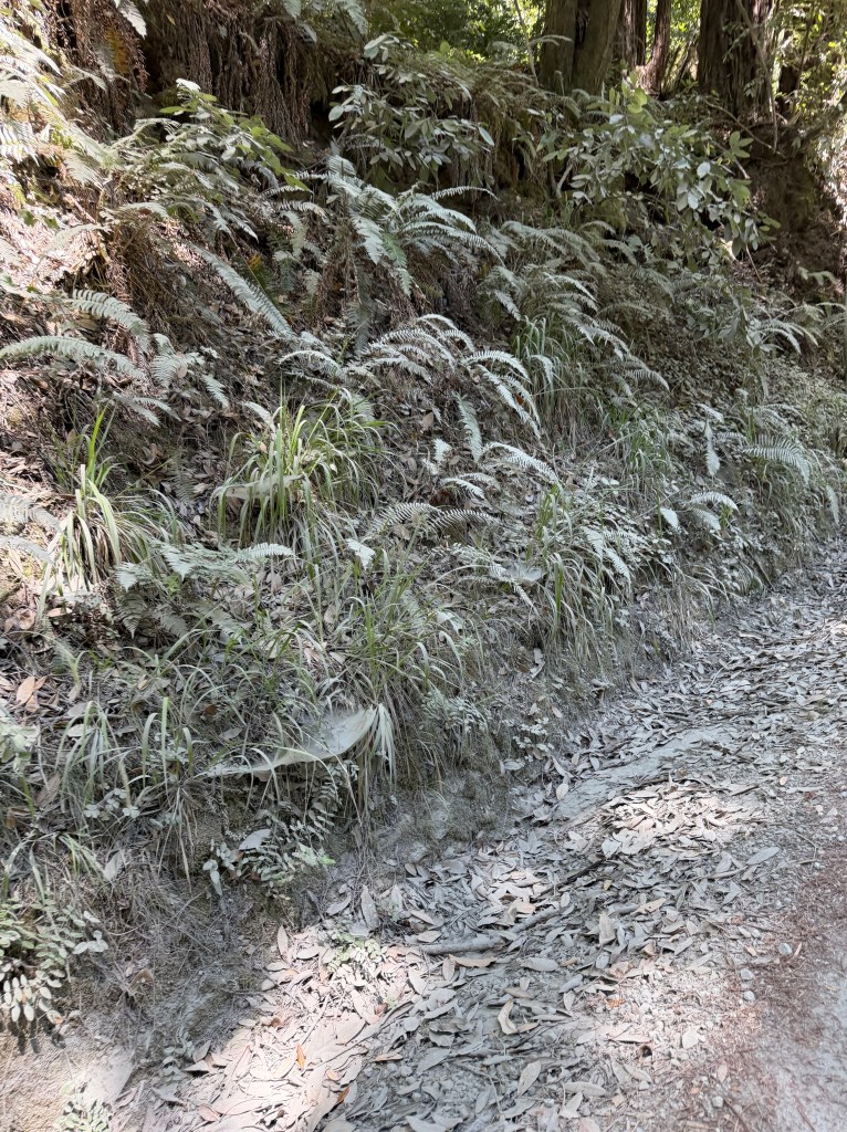
It’s been a week since my last hike, and I was so ready to get back in the saddle. In hindsight, maybe I should have eased back into it. I also should have checked the details of the route more. I spent the first 7.5 miles on forest road, with the first few miles on the main park road which was super dusty but a very gentle incline. Then the next 4 miles were much steeper, comprising most of the 2,000 ft of elevation gain. Half-way up that section I came upon a sign that said “Top of the Incline” — fake news.
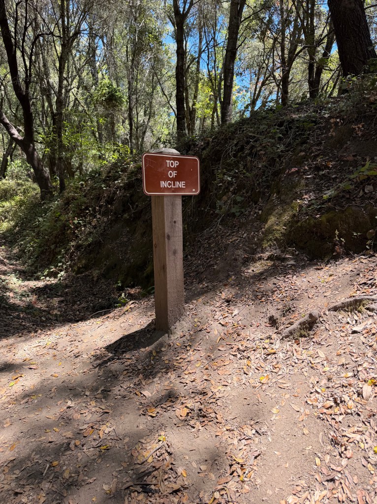
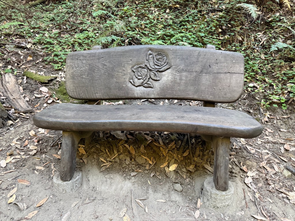
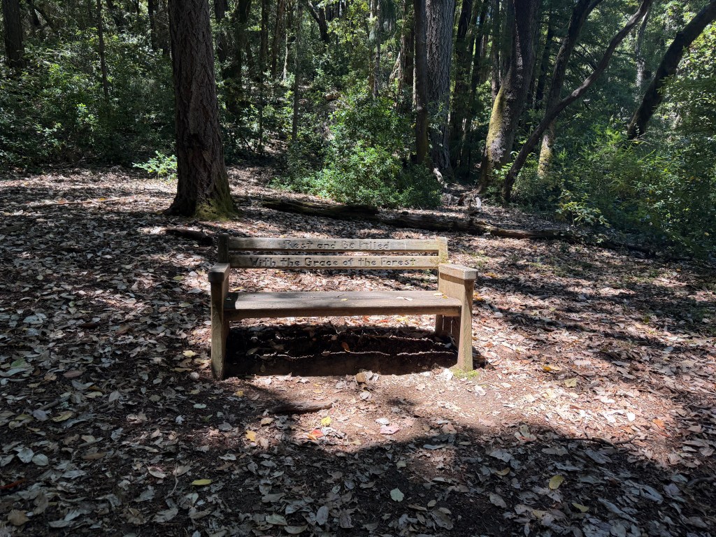
I was so thankful to hit the real top of the incline, but it quickly became a case of “be careful what you ask for.” Much of the second half of the hike was single track that had that telltale mountain bike terrain — rock hard ground, deep V, with loose dirt/debris at the bottom — which forces you to walk with your ankles turned in. There were also so. many. bugs. I couldn’t have been happier to finally make it back down to the redwood forest where there were no bugs. I stopped for a rest on a lovely bench with roses carved into it.
My feet were really sore the last few miles today, mostly in my heels — both around the back of my heels and underneath them. I was limping badly and walking really slowly by the last mile or two. I don’t know if it was the terrain, jumping back into a long trail so quickly, or the beginning of a persistent issue, but it has me worried.
Wednesday, July 15 — Moderate
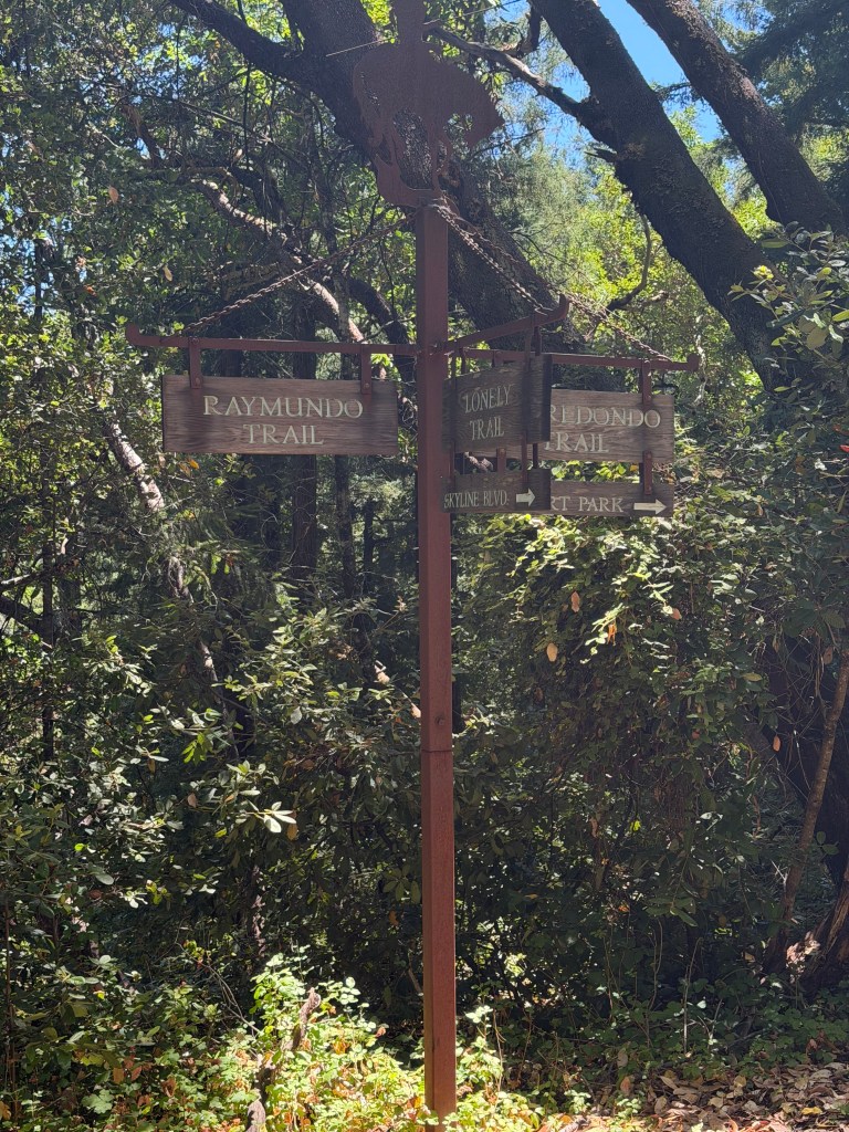
Lonely Trail to Richards Road Loop, Huddart County Park (AllTrails)
9.6 mi / 2,133 ft elevation gain
I just love this park. Beautiful redwoods, well-maintained trails, and not too crowded. Today’s hike was so, so much better than yesterday.
After yesterday’s painful experience, I’m recommitting to frequent breaks with stretches. Between that, the softer terrain, and the shorter length I was feeling a lot better by the end of the hike than I was yesterday (although still not pain-free). It probably also helped that I started today with a 20 min morning yoga flow to get my mind and body into a good place.
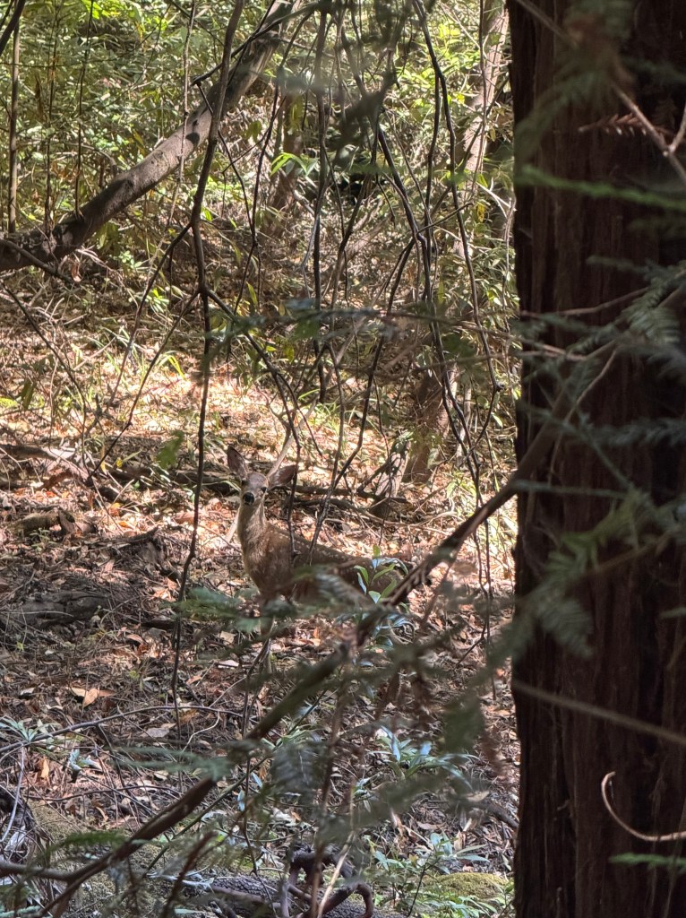
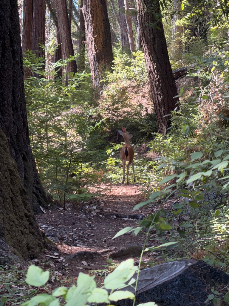
At about 1.5 miles into my hike I came across a little doe. I didn’t see her at first, but I heard something rustling and saw just her tail. I actually thought it was a big squirrel, but she took some steps and I was able to see the rest of her. We stared at each other for a while and I was even able to capture a photo before she carried on her way.
About an hour in I stopped for a rest on a stump under the power lines for a break, drank some electrolyte water and stretched. An hour after that, a little over 5 miles into the hike, I stopped on a log for a lunch break. I filled my PBJ with too much jelly and it leaked all over my lunch bag and pants — what a mess! After cleaning up as best I could, I carried on, using my poles for the rest of the hike which was mostly downhill (trying to learn from yesterday’s experience).
A little while later I was sucking air out of my bladder, at which point I realized I’d forgotten to fill it after yesterday’s hike. I had about ⅓ of a liter left in my Nalgene for the last 4ish miles. Luckily it was almost all downhill, and I managed to make it back to the van with a few ounces left for the drive home.
Thursday, July 16 — Short
Fall Creek and Lost Empire Trail Loop, Henry Cowell Redwoods State Park (AllTrails)
8.71 mi / 1,844 ft elevation gain
Today I returned to a hike I’d tried to do a few weeks ago but couldn’t get parking on the weekend. On a random Thursday there were plenty of spots, and it was well worth the wait. This is one of my favorite hikes.
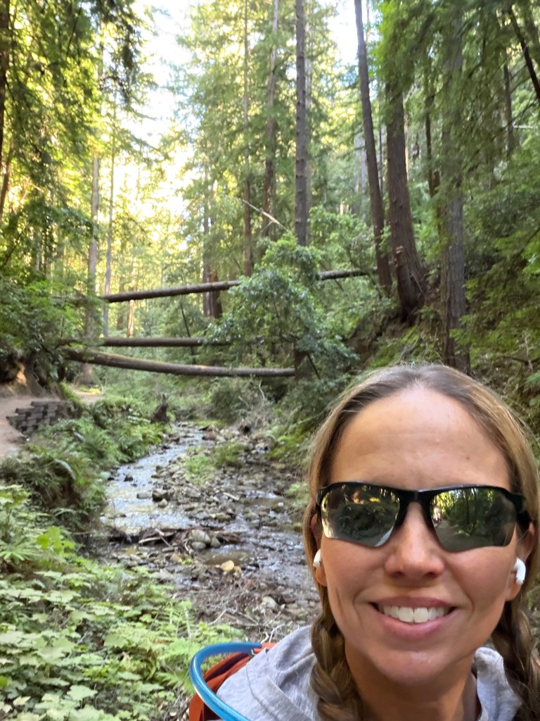
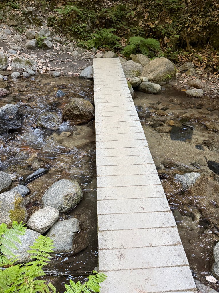
The first couple of miles follows Fall Creek in the redwood forest, with a steady gentle incline. It was like walking through an enchanted forest, criss-crossing across the creek (thankfully there were walkways at each crossing). This is a lollipop shaped trail, and this part forms the stick of the lollipop, so I’ll get to walk this same path on my way back. There were lots of people enjoying the water and I was wishing I’d brought sandals so I could dip my feet in at the end of the hike.
At the end of the stick part of the lollipop, the trail turns away from the creek and starts a much steeper climb. Just after making the turn I came upon a deer walking ahead of me on the trail, like another hiker. She continued walking in front of me for a few yards before turning off the trail. A little while later, the trail took a right turn and hit an even steeper section of limestone path. At times I had to use my hands to pull myself up. I was glad I’d gone clockwise — I’d rather fight gravity going up than get more help than I want on the way down.
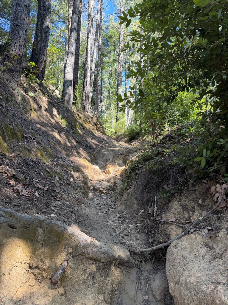
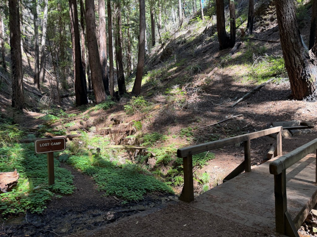
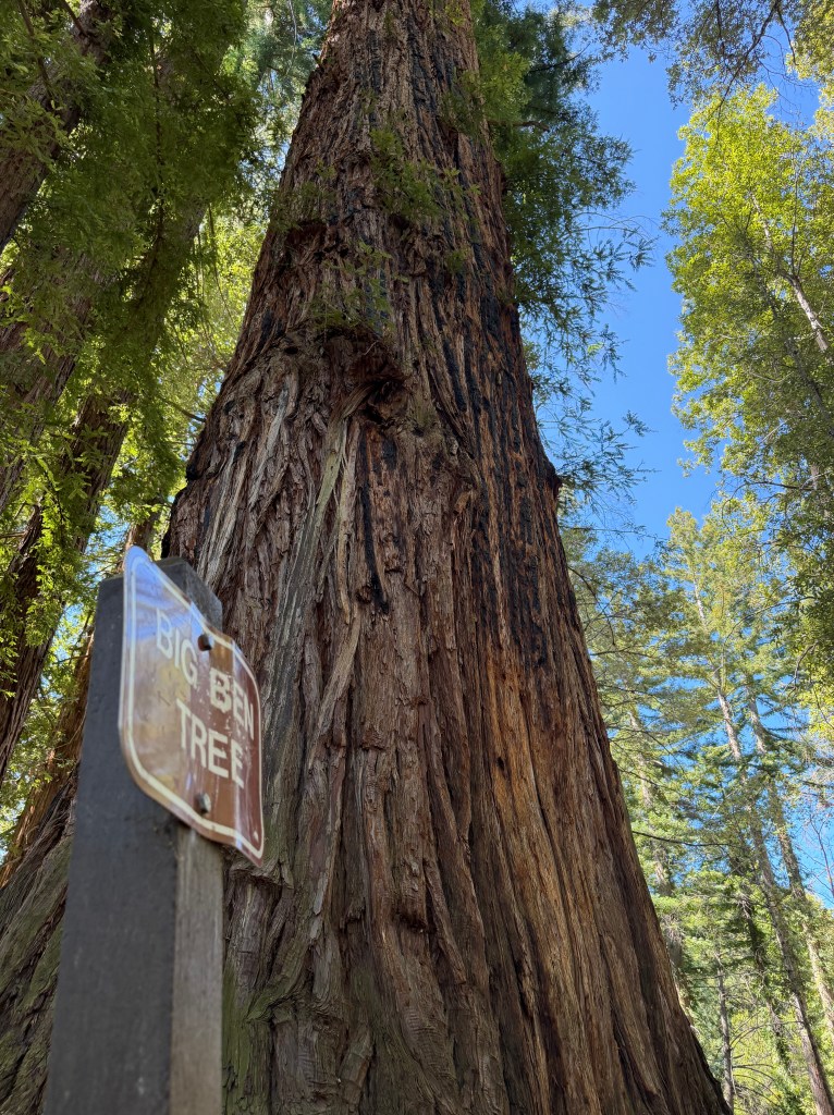
I finally made it up and got to enjoy about ¾ of a mile of fairly level path through higher elevation forest, some of which had been impacted by the 2020 CZU Complex fires and is now recovering nicely. And then, it was time to climb again, on a still steeper path (500 ft over 0.5 mi). Eventually I came upon the marker for Lost Camp, and then Big Ben which marks the high point of the trail. It’s all downhill from here…
The second half of the hike was a steady descent through the beautiful forests. It was interesting to see how the forest (and temperature) changes on the descent from 1,900 ft to 300 ft, becoming more and more lush (and cooler) on the way down.
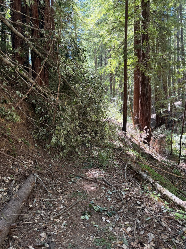
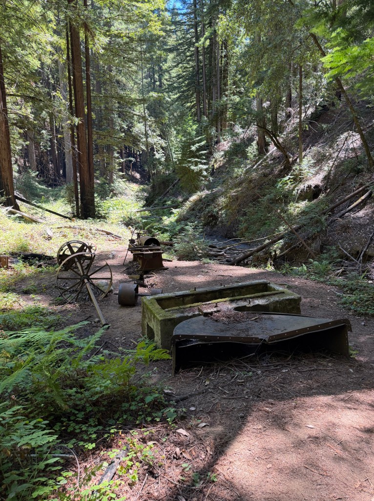
The path was mostly clear all day, until I hit a spot where there were two downed tanoaks completely blocking the narrow path, which steeply dropped down to the creek. I tried navigating around the first one and slipped, nearly falling into the ravine! Luckily I was able to hang onto limbs to stop myself and avoid injury, but it was a scary moment, especially since I leave for the UK Coast to Coast in 2 weeks. For the second one, I tunneled through the limbs of the tree, avoiding the edge of the path. Right after that, I came upon the remains of a former creek-side barrel mill, which was a great place to catch my breath and eat lunch.
The rest of the hike followed the “stick” of the lollipop, through the enchanted forest along Fall Creek, back to the van. My feet were sore by the end and I was really wishing I could soak them in the cool water of the creek.
Friday, July 17 — Strength
60 min Total Strength with Andy on Peloton
A great total body workout with a healthy dose of conditioning. I may have dropped an f-bomb after completing the 35 human makers towards the end.
Week Total: 34.74 miles / 6,149 ft elevation gain


Leave a comment