Tuesday, August 11, 2026
💡PRO TIP: Luggage transfer services (and some B&B hosts) make a big deal about having your bags in the pickup spot by 8:30. In my experience, they’ve never actually shown up before I left, so try to be on time, but don’t stress too much if you’re running a bit late. They also promise delivery by 4:30, but my bag has beaten me to every destination so far, even on days I’ve arrived well ahead of that time.
11.82 miles / 2,250 ft elevation gain
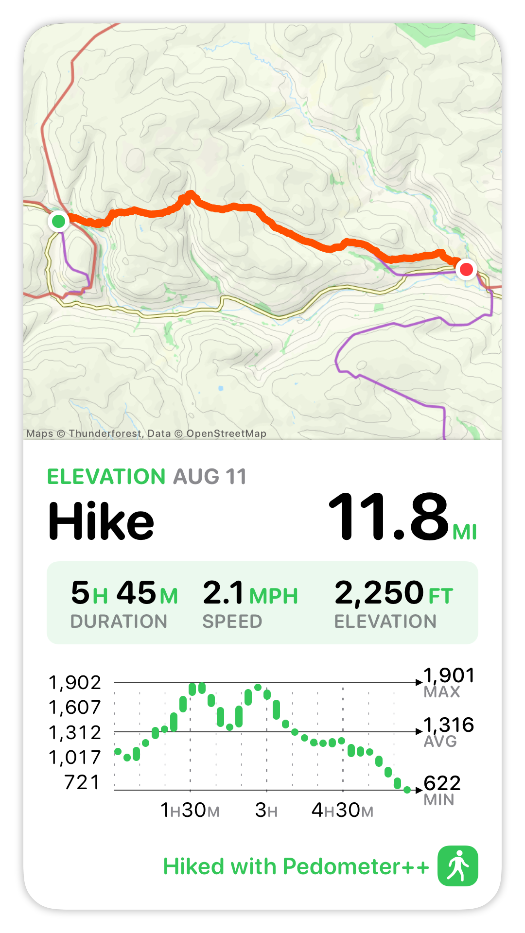
Today’s route offers another high and low route option. The high route is a tour through the remnants of Northern England’s lead mining past, while the low route is a supposedly pretty stroll through Swaledale Valley. Unlike most other days, the official route is the high one.
Some people don’t like walking through the remains of lead mining, seeing the lasting impact it’s caused. My thinking is that avoiding it doesn’t make it go away, and if more people saw how nature still hasn’t recovered from something that ended over 100 years ago, they might think differently about how to protect the environment today.
Leaving Keld
It was a lovely start to the morning. I’d chosen a fairly early breakfast time (7:30), and the Aussies walked in at the same time, so I joined them. It was my usual breakfast of eggs, toast, and yogurt with granola. After breakfast I went back upstairs to get my backpack, retrieved my boots from the drying room, returned my key to David (he was militant about getting them back), and set off by 8:20.
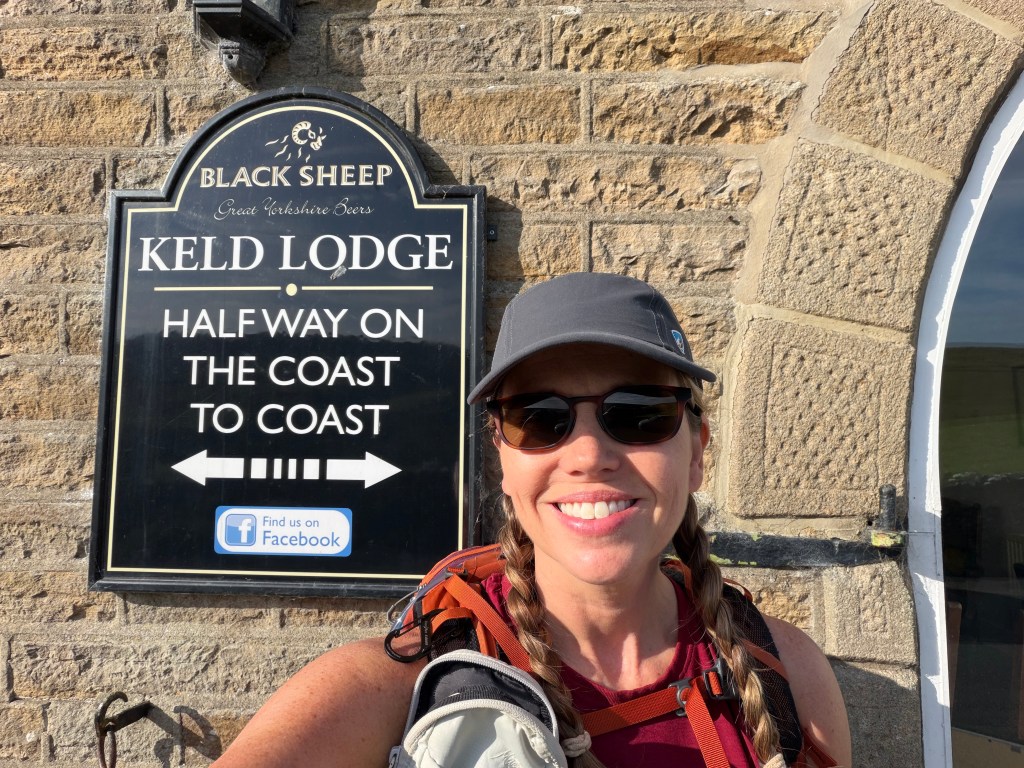
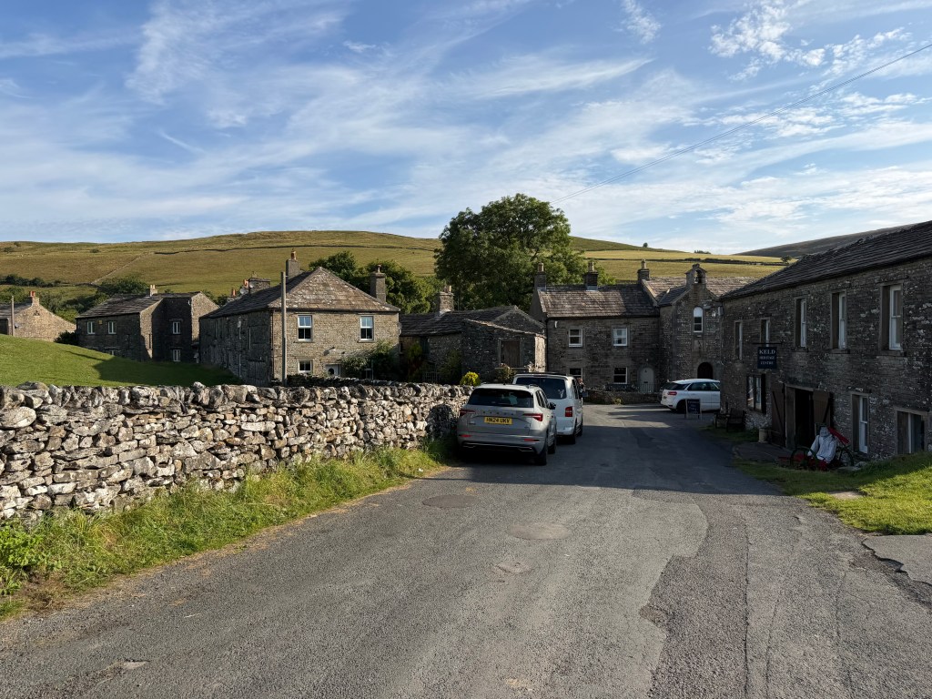
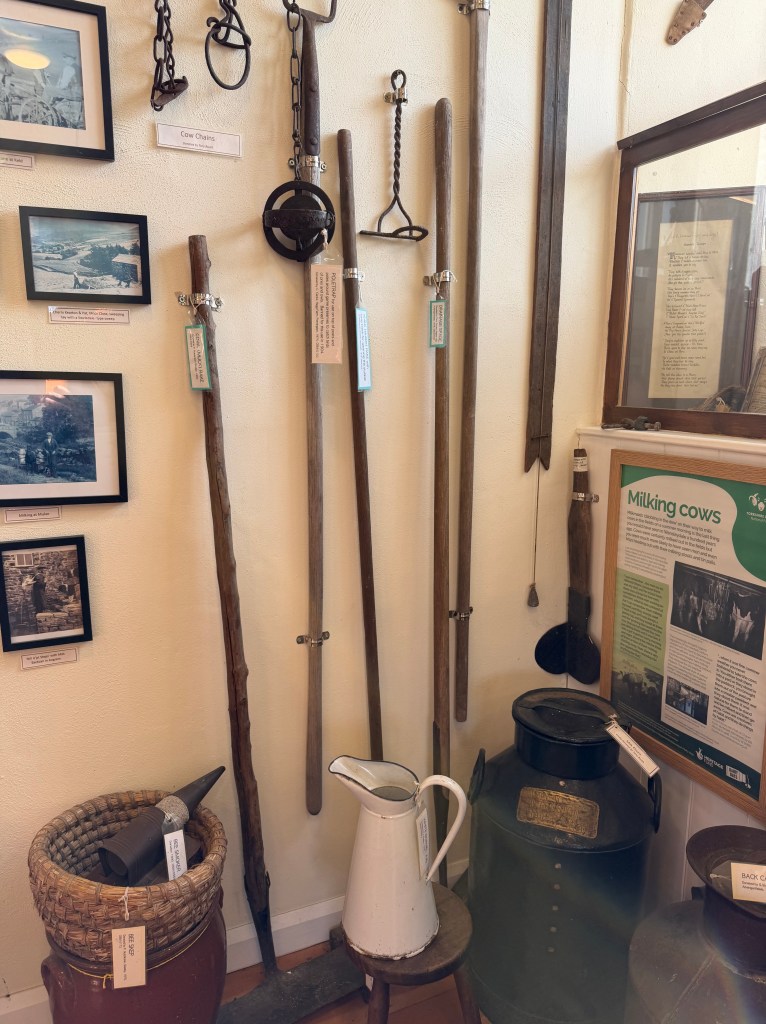
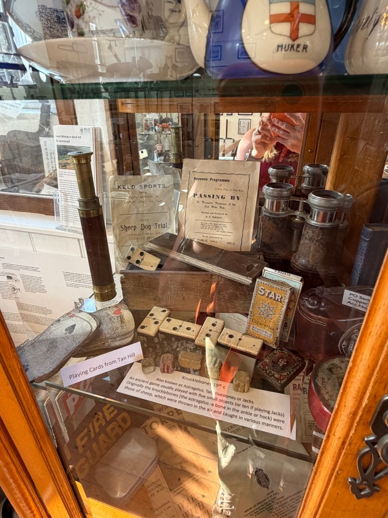
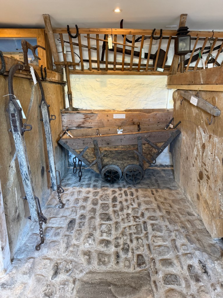
It was a slow departure from Keld. First, I stopped right outside Keld Lodge to take a selfie in front of the C2C halfway sign before following the route on the Main Street into the village. The Keld Heritage Center and Keld Old School Museum (highly recommended by the older gentleman I’d met on the way down from Nine Standards) were open early so I stopped in. There were lots of pictures, artifacts, and information about the old mines, as well as cow’uses.
Across the River Swale to Crackpot Hall
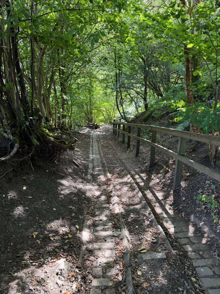
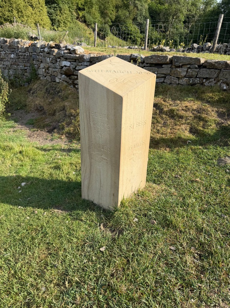
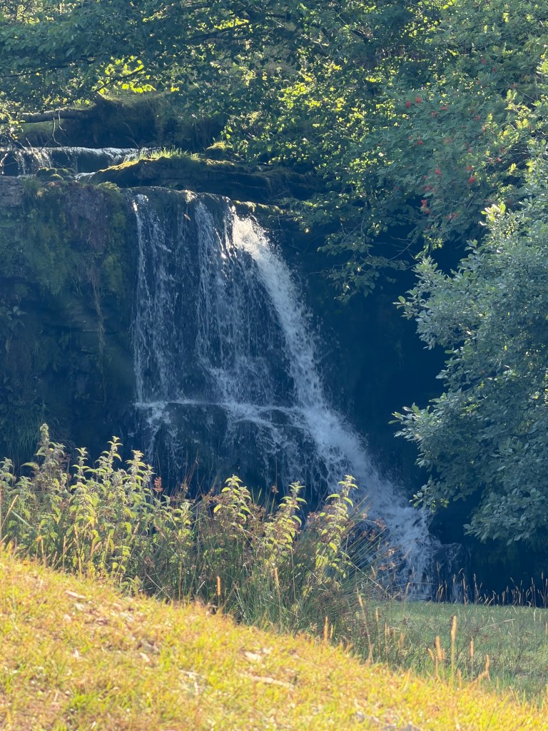
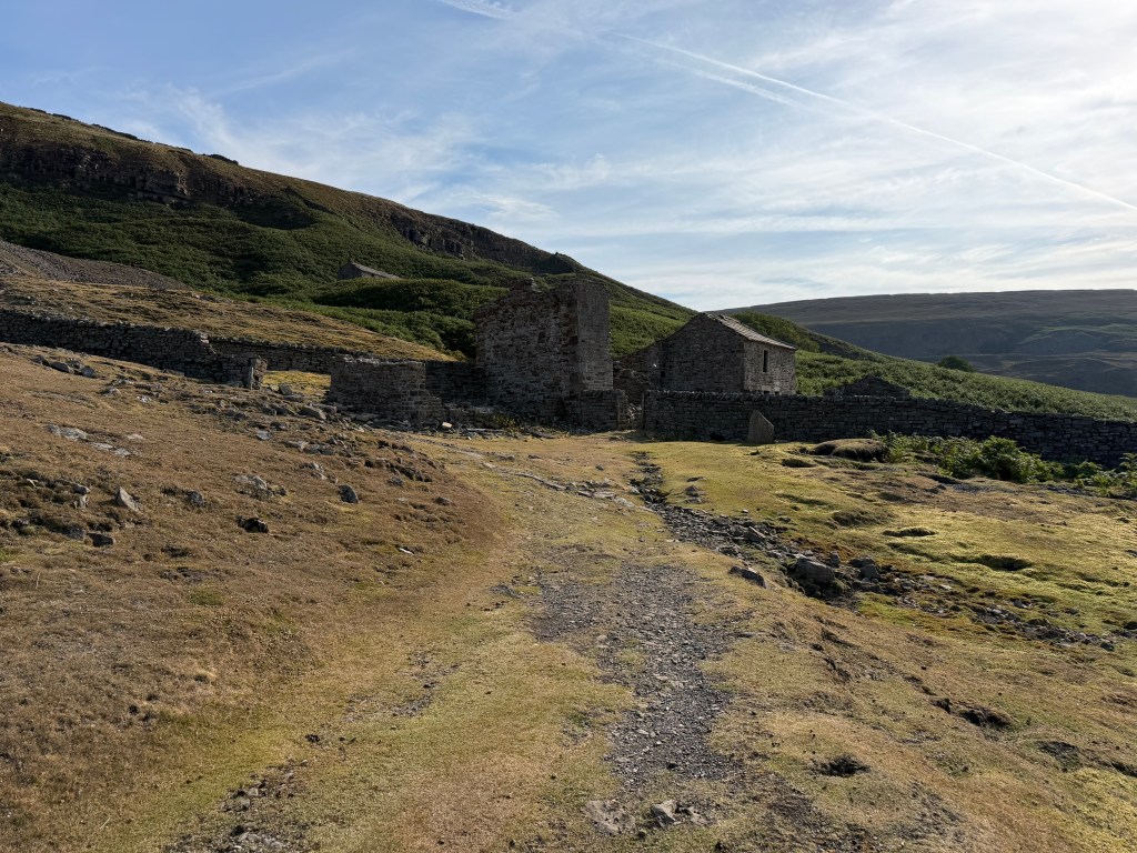
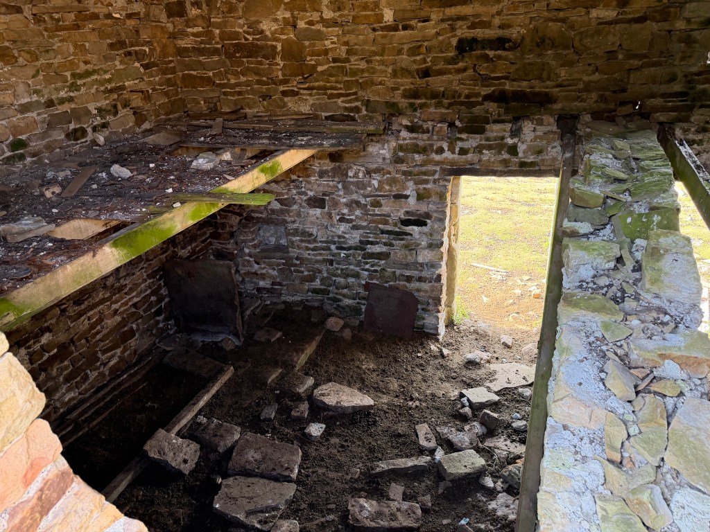
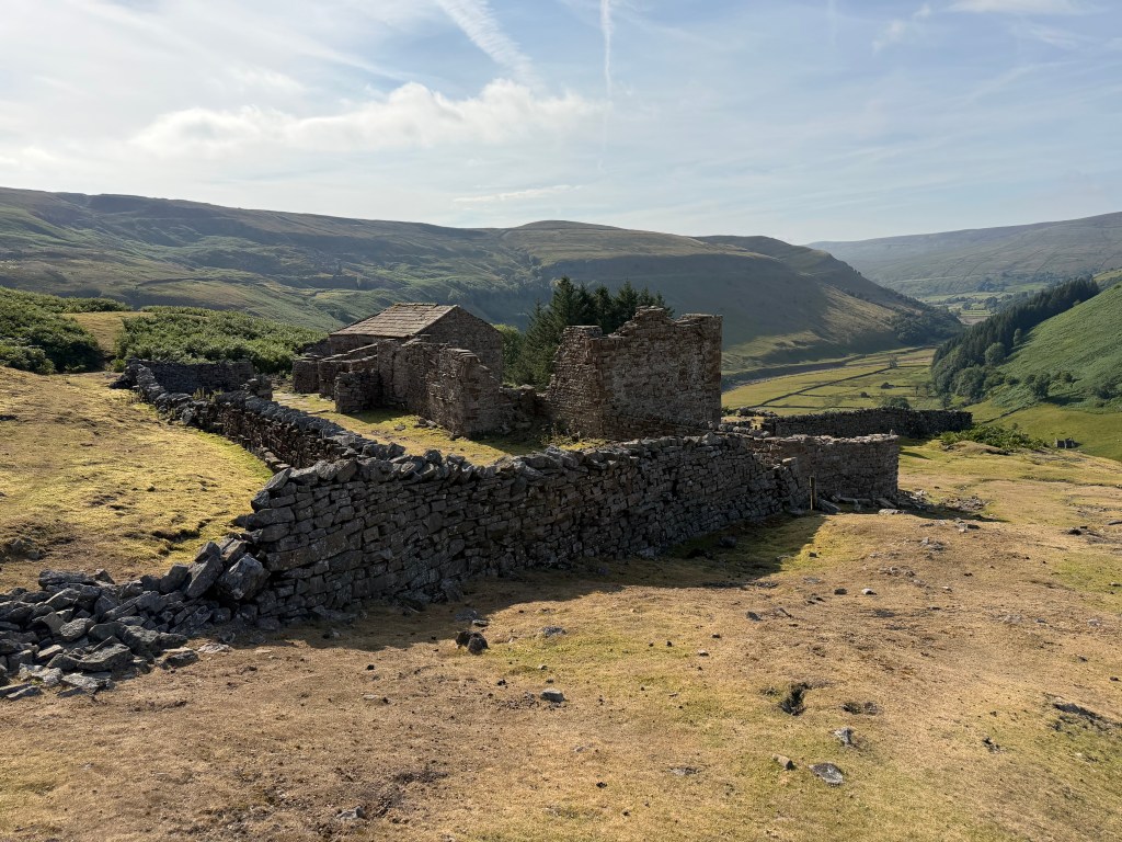
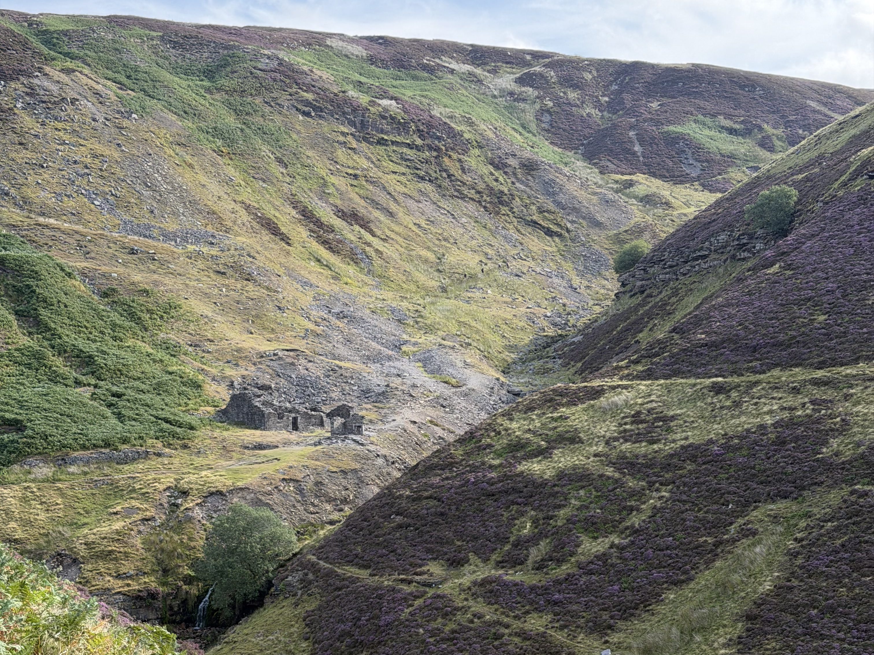
After leaving Keld, the first part of the path drops through a wooded area, then runs alongside a pretty section of the River Swale, before quickly climbing up to the first ruin of the day, Crackpot Hall, an 18th century home once owned by a mine manager. Besides its slang meaning, apparently “crackpot” also translates to something like “deep hole (pot) where crows (crack) live.” It was a beautiful setting overlooking the valley and river below, and I spent a long time taking pictures.
Swinner Gill Smelting Mill
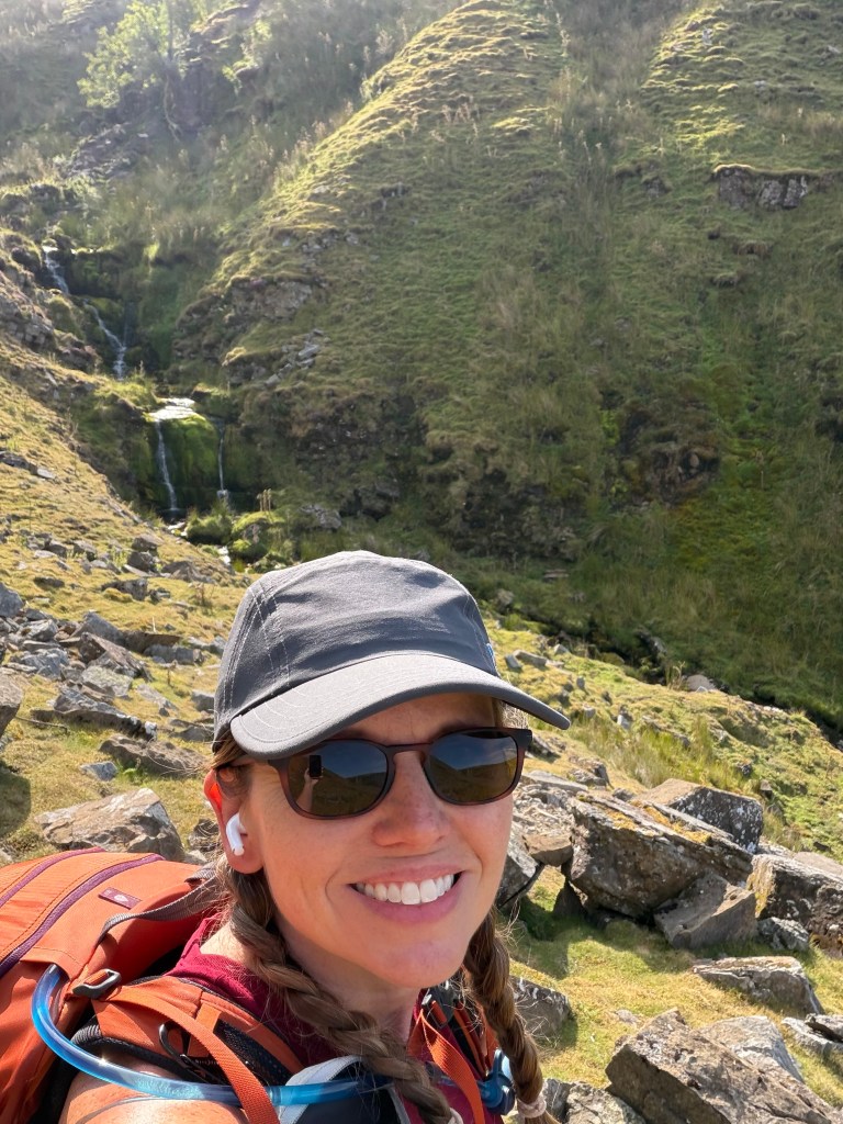
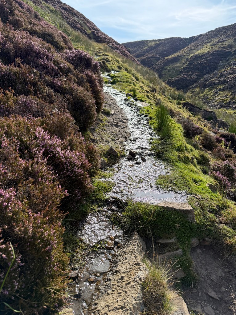
From there, the bracken and heather-lined path follows the contour of the hill, crosses Swinner Gill, and reaches the ruins of Swinner Gill smelting mill. Despite it being a beautifully sunny day, the path was narrow, along a steeply sloping hillside, and often wet with running water. After one particularly dicey spot where I felt sure I was about to slide right off the hill, I vowed to get my poles out as soon as I got somewhere I could take my pack off. But first, I still had a steep climb ahead of me.
When I finally got to the top of the ridge line, I removed my pack to grab my poles, while also admiring the view. Of course, at that point I was up on the moors, on wide, dry paths that didn’t require poles, so I just carried them at my side.
The Moors
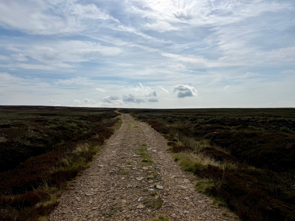
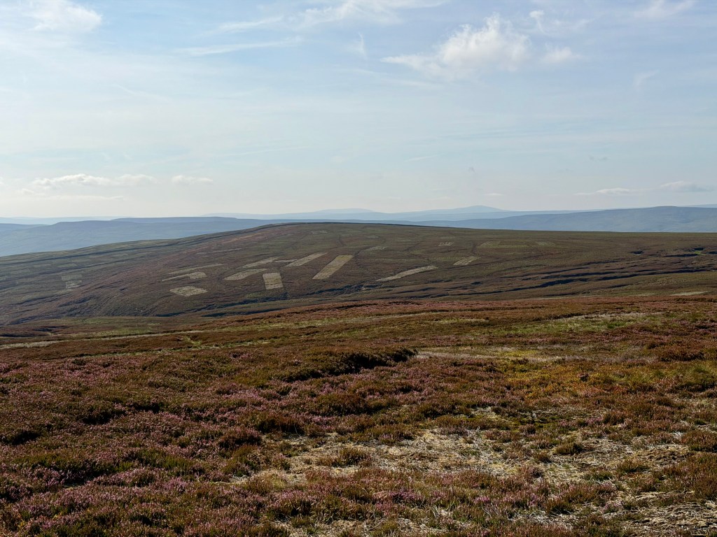
This was my first time in moorland, and it was unlike any place I’d seen before, high up in the hills, with broad expanses of purple heather stretching as far as the eye could see.
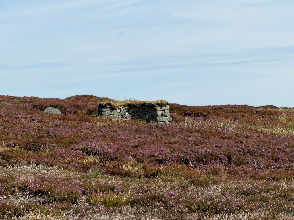
There were two things I noticed as I walked: rectangular grey patches scattered across the hills, and lines of structures that looked to me like fireplaces, minus the house or chimney. It turns out the patches come from gamekeepers setting controlled fires on a 15-30 year rotation, to keep a mix of heather ages for the grouse: young, tender shoots to eat, and older, longer heather for nesting and hiding. There’s real debate over whether this practice is actually environmentally beneficial. The structures are grouse butts, typically made of stone, turf, or wood. Grouse shooting works by having people called “beaters,” or sometimes dogs, walk in front of the butts, flushing wild red grouse out into the open. The “guns” hide behind the butts and shoot the low-flying birds as they’re flushed. Doesn’t seem like much of a fair fight; I guess that’s why they call it grouse shooting, not grouse hunting.
So the TL;DR is: the heather in this area is carefully tended to give the grouse the best possible place to live, breed, and raise their young, so that wealthy, aristocratic men can shoot them.
Oh, and the season opens tomorrow, on “the Glorious Twelfth” (Aug 12).
Down to Blakethwaite
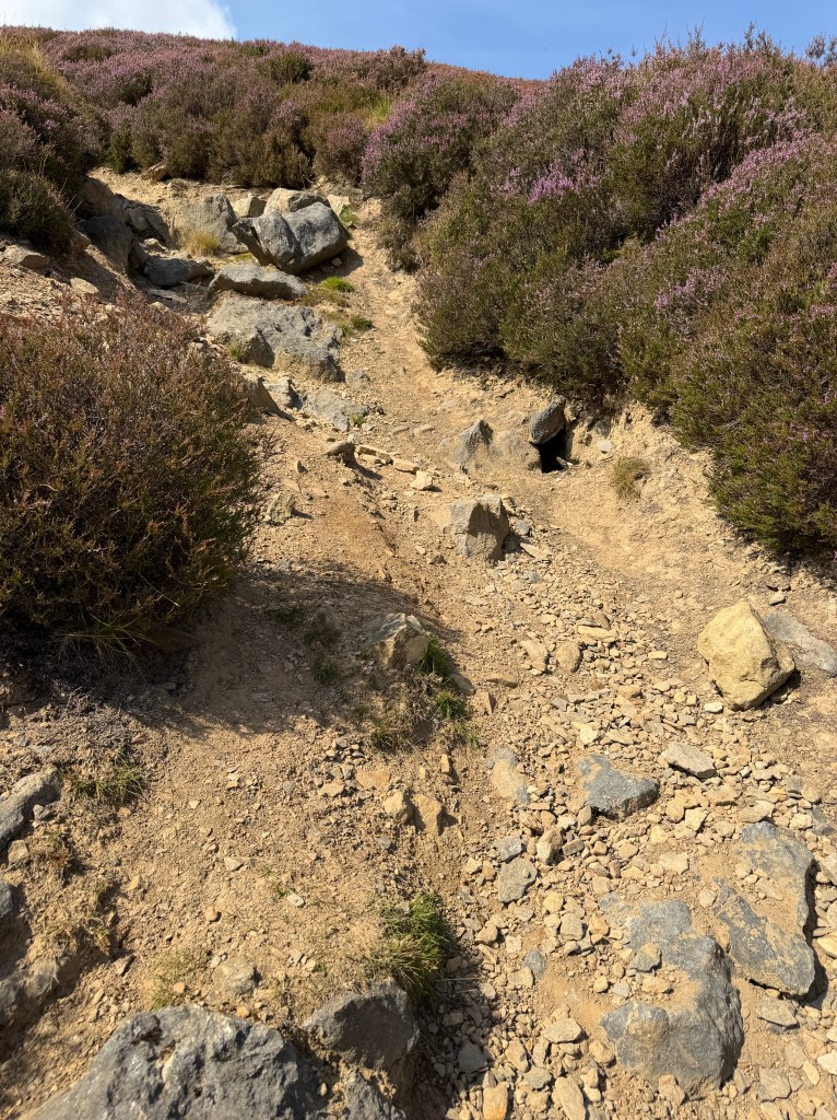
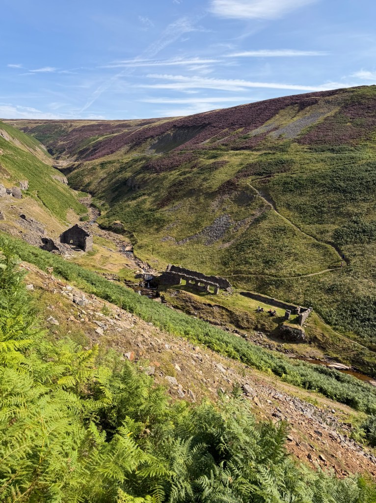
I came upon a cairn indicating I should hang a left off the main road, onto a much narrower path. I was quickly grateful to still have my poles in hand; the path was very steep, and the dry gravel moved easily underfoot. I slid a few times, but luckily my poles kept me mostly upright. Following the path down, I spotted the Blakethwaite ruins across Gunnerside Beck, down in the valley below. Looking closer, I saw the 4 Aussies sitting on the rocks among the ruins, taking a break. We waved at each other, and one of them jokingly (I think) called out, “just jump!” It took me a few minutes to carefully navigate the steep, narrow path, complete with switchbacks, down the hillside. When I finally got down to the ruins, I stopped to chat with a couple of local men taking a break from their day hike, then joined the Aussies for the rest of theirs.
We set off together, initially in the wrong direction along the river; luckily their app quickly caught the mistake. Back on the correct trail, we headed up the steep climb out of the valley. Once we reached the top, I set off on my own. It’s difficult to seamlessly fall into step with a group that’s been hiking together for days, since they’ve worked out their order, cadence, and how they walk together by now. I didn’t want to be a fifth wheel.
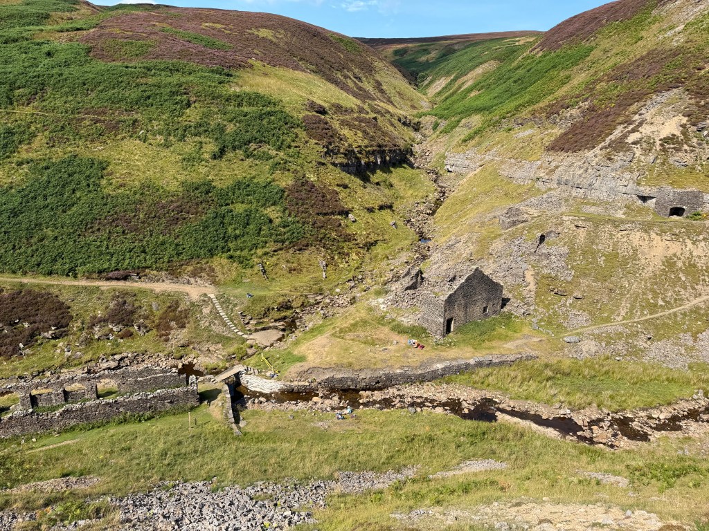
Across Melbecks Moor
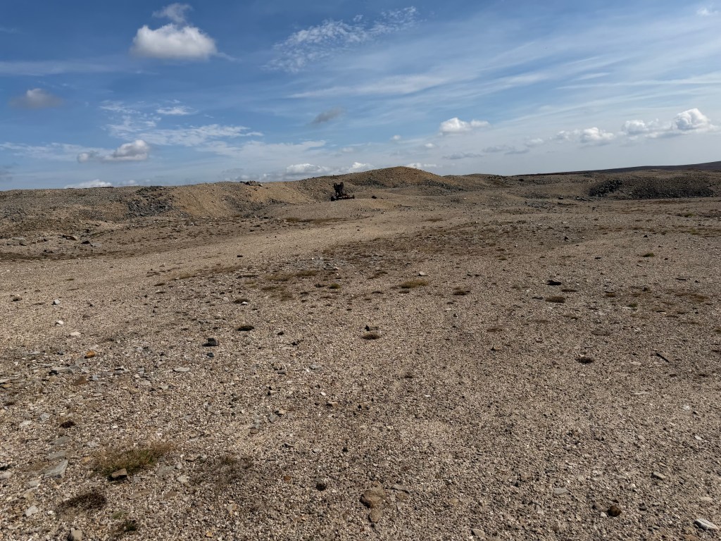
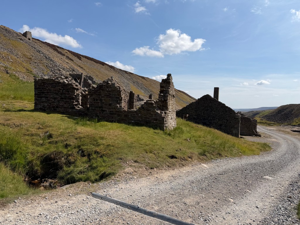
At the top of the climb, the path connects back into a wide track that runs along Melbecks Moor. The book calls this a “wasteland,” and that feels like the best possible description. It’s gravelly and barren, with big piles of rubble, like walking on the moon. It doesn’t seem like the earth will ever fully recover from the effects of mining here.
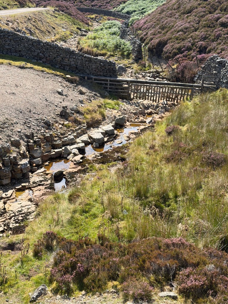
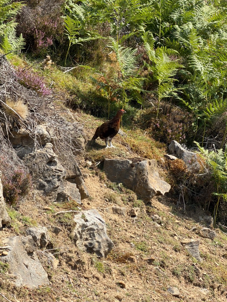
From there, it was a long, long walk down a road with freshly laid gravel that was sharp, loose, and fairly painful underfoot. It followed Flincher Gill for part of the way, and judging by the rust-colored water it didn’t seem to have benefited much from the past lead mining. As I was approaching the remains of Old Gang Smelting Mill, I saw a group of day hikers heading the opposite direction. A grouse was sitting on the hillside “talking” to them, at times sounding like it was saying no-no-no. It stayed put as I chatted with the women, and still didn’t move as we all set back off on our walks.
Into Reeth
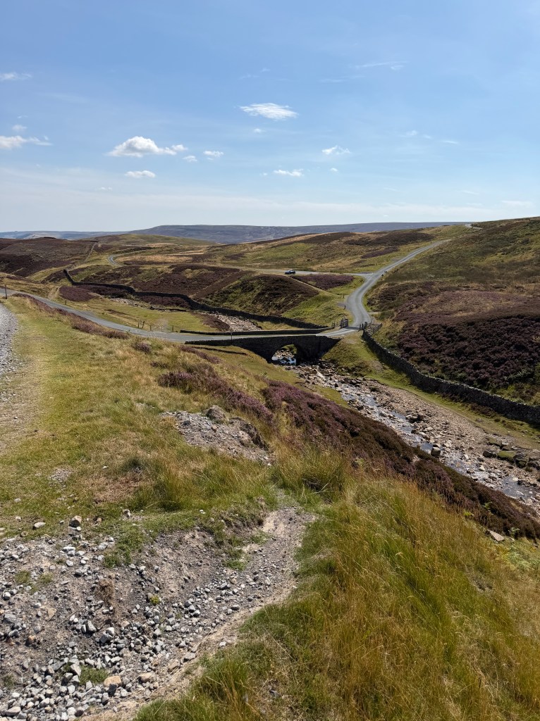
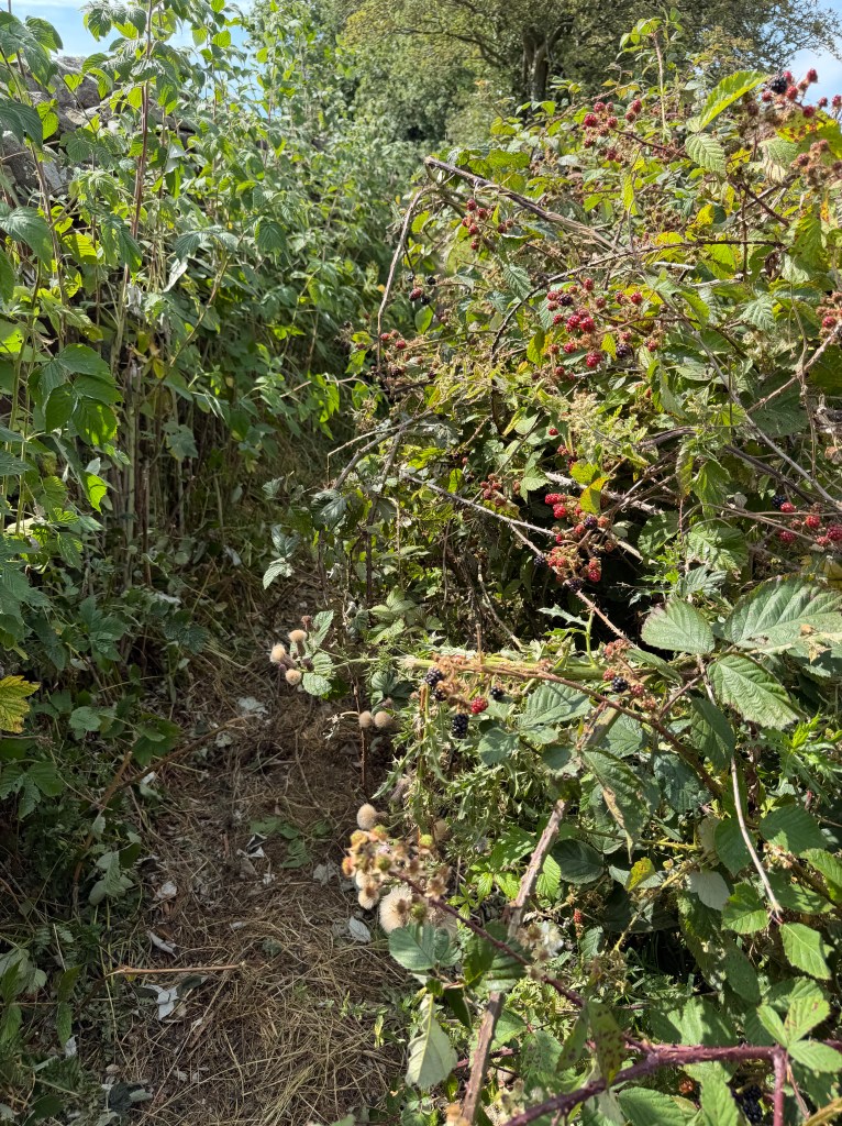
After over an hour on the gravelly road, I turned onto a narrow path near Surrender Bridge, and passed through a valley known as Cringley Bottom (🫢). Following the path for a while, the village of Reeth came into view. I hit a sign that said ¾ mile to Reeth, but it was an incredibly unpleasant ¾ mile. Narrow, lined with prickly bushes, and smelling like human waste. One stretch was literally lined with bird poop, with the plants on both sides and the path itself covered in white droppings. I was glad to be wearing a hat and didn’t dare look up. To top it off, something, a prickly bush, or maybe a bee, stung me. It felt like my finger was on fire. For hours afterward it felt like I was being stabbed with little needles dipped in lemon juice, though whatever it was left no visible mark.
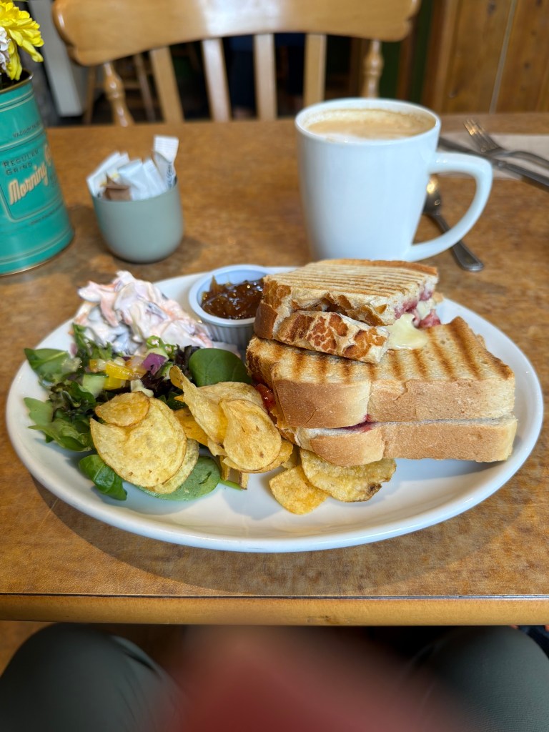
When I made it into the village of Reeth, my mood quickly improved. I’d hoped to stop at Two Dales Bakery, but it was almost closing time, so I continued on to the green to find somewhere else to eat. I’d only had a little bit of flapjack when I took the break with the Aussies, so I was really hungry. Plus, I still had 1.5 hours until check-in at Ivy Cottage. I settled on The Copper Kettle Kitchen, and it was a great choice. I had a brie and cranberry toastie (kind of like a grilled cheese, but toasted/pressed without butter) with red onion chutney, crisps, salad, coleslaw, and a decaf latte. Lee called while I was there, but I was sitting inside close to another table, and it would have been awkward to be on the phone, so we agreed to talk later. After that I went to Cuckoo Hill View ice cream parlor for two scoops, banana and chocolate, and talked to Lee while I sat outside eating it.
A Refreshing Evening in Reeth
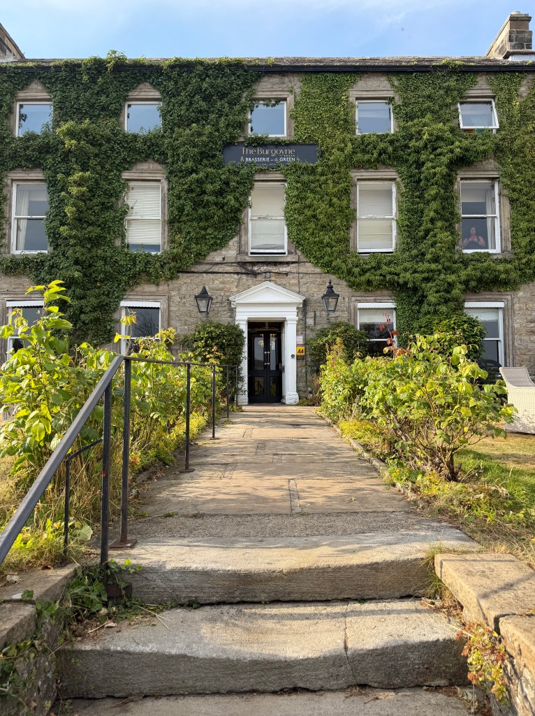
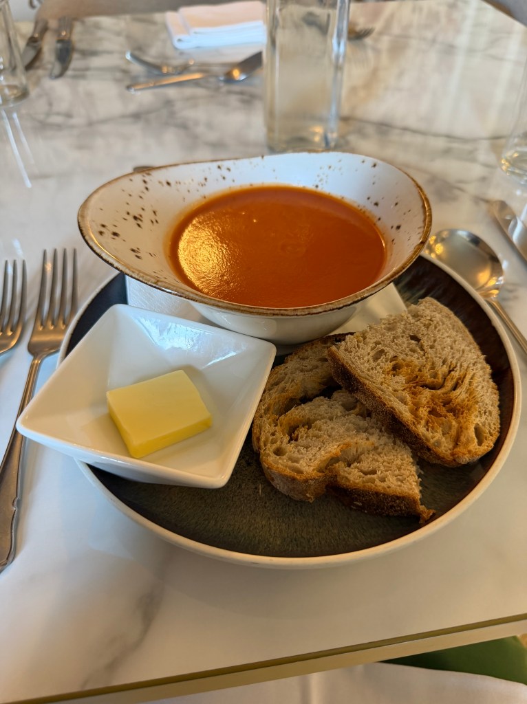
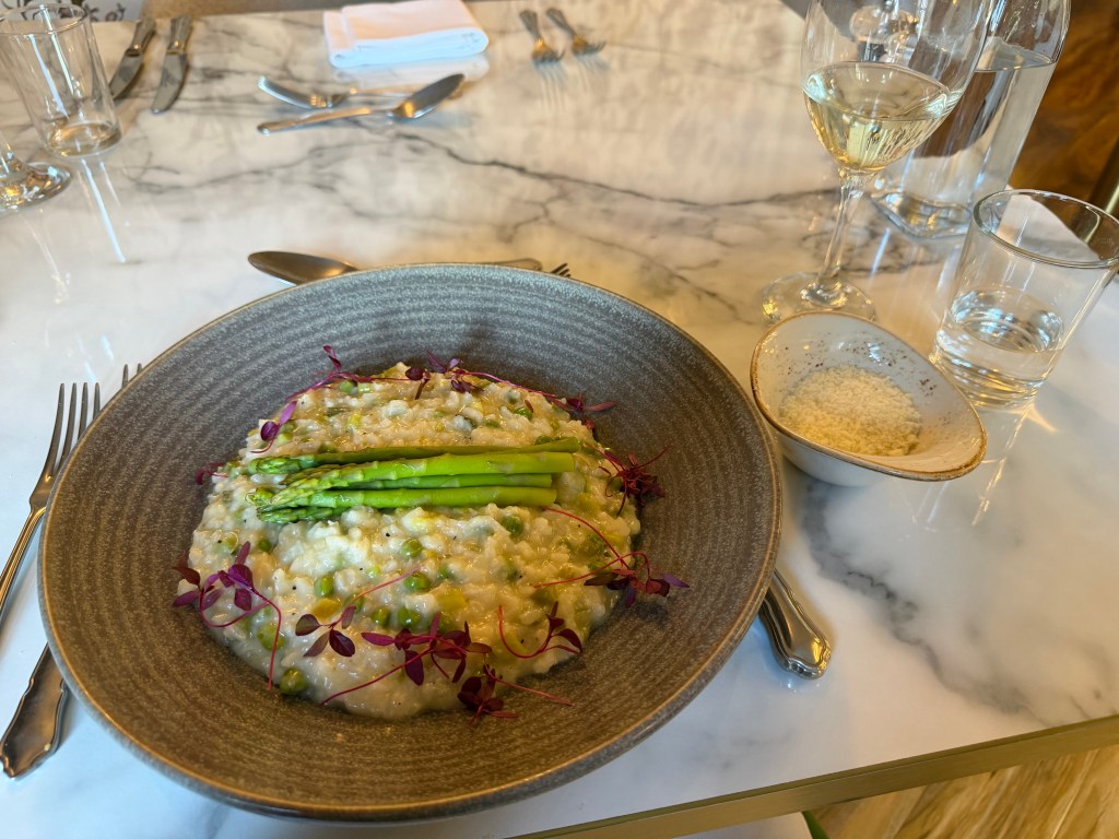
Ivy Cottage is a lovely B&B with a kind and helpful host, Donna. My room and bathroom were large and nicely decorated. I took a long, hot shower, then soaked in the tub. Feeling much better, I headed out to dinner. Donna had suggested Buck Inn was the best of the 3 pubs, but I was craving a real restaurant, so I went to Brasserie on the Green at the Burgoyne Hotel, almost right next door. The tomato & red pepper soup and asparagus and pea risotto were delicious, and it was so nice to eat something other than pub food.
When I checked in, Donna pointed out the instructions for the front door lock on the key ring, saying that some people struggle with it. Turns out I’m “some people.” When I got back from dinner, I unlocked the door fine, but couldn’t get the key back out of the lock. After several minutes of struggling, I finally called Donna, who didn’t answer. It was only then that I noticed the instructions actually said “the key comes out sideways.” 🤦♀️
 Joanna On The Trail
Leave a comment