Saturday, August 15, 2026
💡PRO TIP: Before planning a trip like this, write down your actual priorities, then let them guide every decision. I never wrote mine down, but looking back, they were: immersing myself somewhere beautiful and unfamiliar, having plenty of time and space to be alone with my thoughts, and pushing myself physically to accomplish something I’d be proud of (in that order). If speed had been the priority, like it clearly was for the runners I met at Nine Standards Rigg, I’d have pushed to finish in 12 days or fewer. Instead I wanted to savor the experience. Most of my planning reflected that, but in hindsight, this particular segment did not.
20.68 miles / over 3,312 ft elevation gain
(elevation data missing for the last 7 miles)
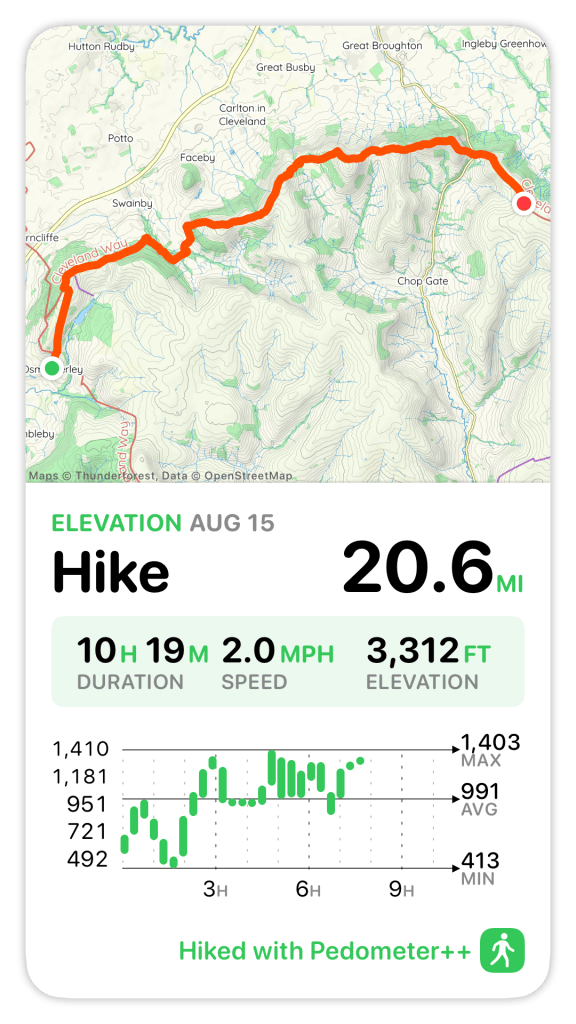
Today was the day I’d been most anxious about since planning this trip: the longest segment of the entire C2C, over 20 miles with more than 3,000 ft of elevation gain. I’d chosen not to split it up for two reasons: I didn’t want the hassle of getting a ride to a village from Clay Bank Top, and the timing worked out well for the rest of the week, with Lee arriving in Grosmont the night before walking the final day with me into Robin Hood’s Bay, then us spending time in England together before flying home. Also, I kind of wanted to prove I could do it. I’d hoped a great night’s sleep would set me up well for it. That did not go according to plan.
A Restless Night
Besides getting to sleep late thanks to the revelry outside my window, it turns out the town bell rings to mark every hour, plus shorter rings on the quarters, all day, all night. I couldn’t get the sink in my bathroom to stop going drip, drip, drip. My room faced the town square, so bright lights shone in even with the windows and curtains open (which I’d opened to try to keep cool). So I closed the bathroom door and put on a sleep mask and earplugs, which I don’t normally use, turned on a sleep meditation, and eventually fell asleep. At some point in the night my ears started hurting, so I took the earplugs back out. Just before 4am, the showerhead drained a bunch of water out with a sound like someone pounding on the door, even through the closed bathroom door. I’d just gotten myself settled back down when the 4am bell rang. I finally fell back asleep before my alarm went off at 6.
I’d requested breakfast at 7am to get an early start: granola with yogurt and berries, scrambled eggs with mushrooms, toast with jam. It arrived promptly, served by a gentleman who was efficient but not exactly cheerful. Dour was the word that came to mind. Around 7:45 I went back upstairs for my backpack and luggage, and found myself rechecking the guidebook and re-optimizing my pack, realizing partway through that I was just procrastinating. Heading downstairs, I found the Dutch family at breakfast and stopped to wish them well for the next few days, admitting how anxious I was about today. They said they were fully confident I could do it, and pointed out the book describes a low route with an offramp after every descent, so I could bail out anytime a climb felt like too much. Thomas, the arbiter of what counts as cheating, said that wouldn’t be cheating at all. Still, I really didn’t want to take it, maybe partly because the book itself questions the integrity of anyone who does.
Finally it was time to go. We exchanged contact info, made plans to meet for dinner on Tuesday in Robin Hood’s Bay, and said our goodbyes.
Leaving Osmotherley
It was 8:20 when I set off back out of Osmotherley to reconnect with the C2C. Jimmy had pointed out that stopping in Osmotherley gave us a ~1 mile head start on today’s segment, so maybe it would be just under 20 miles rather than 21. In the end, I was still close to 21 anyway. Today the C2C overlaps partly with the Cleveland Way, which runs in a horseshoe shape from Helmsley (15 miles southeast of Osmotherley) to the coastal town of Filey (20 miles south of Robin Hood’s Bay), as well as the Lyke Wake Walk. The Lyke Wake is a 40-mile challenge walk created in 1955, crossing North York Moors National Park almost entirely on heather (save a couple of road crossings) within a 24-hour limit. The National Park Authority now actively discourages it, given the toll all those people traipsing across the heather takes on the environment, game birds, sheep, and wildlife.
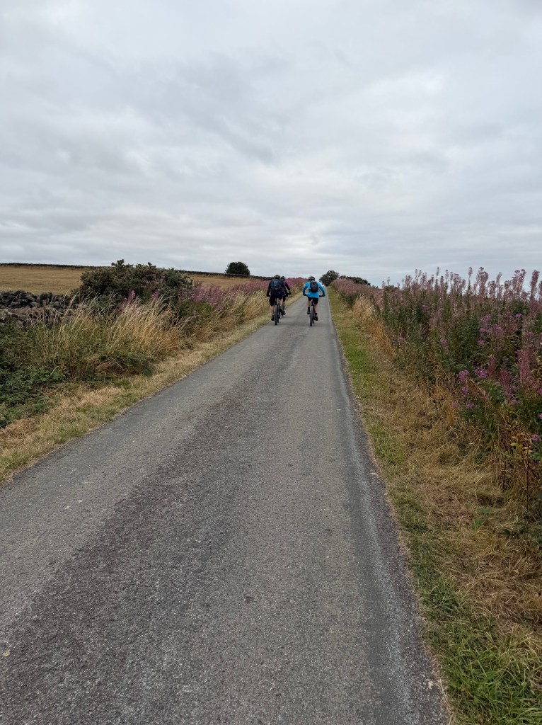
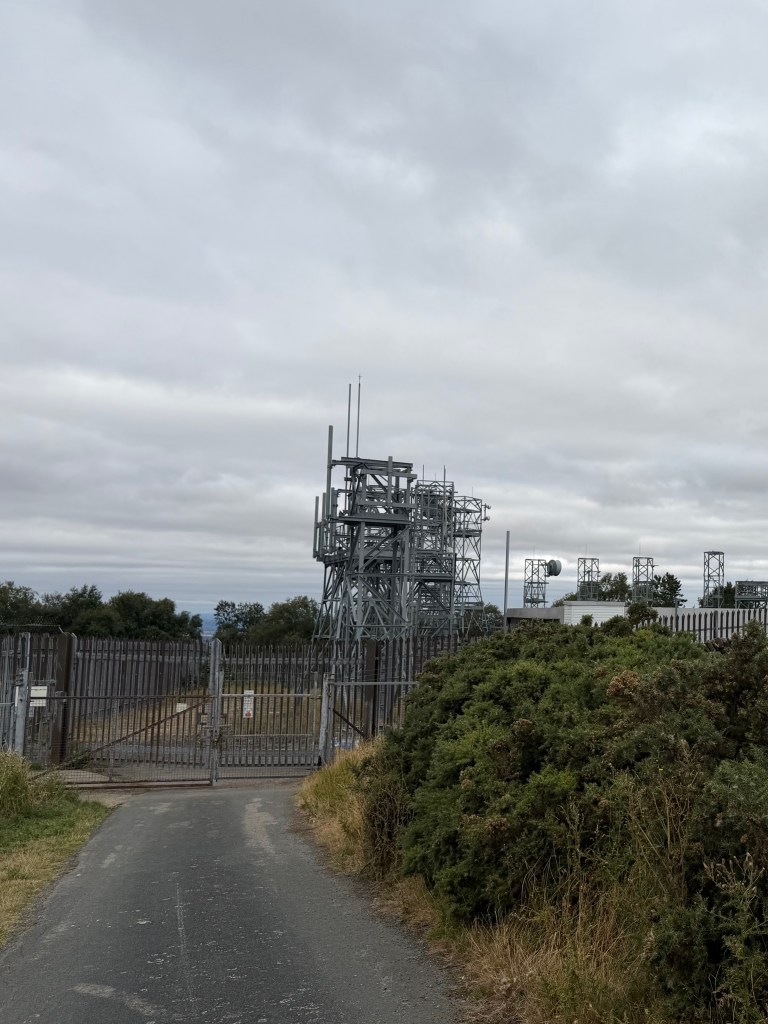
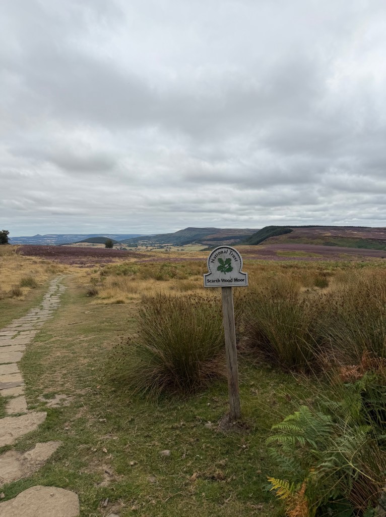
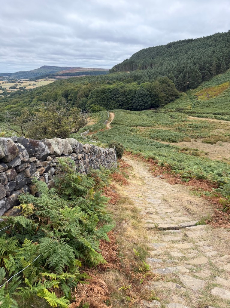
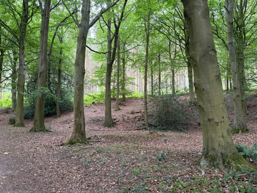
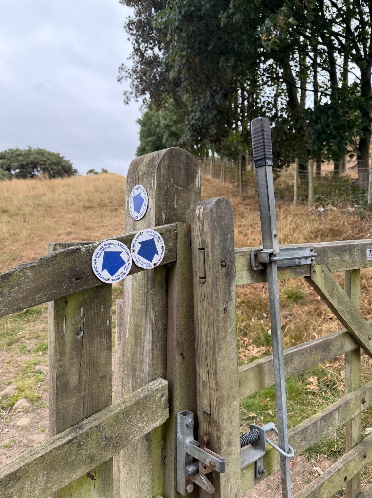
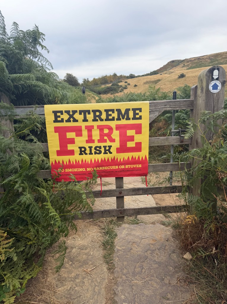
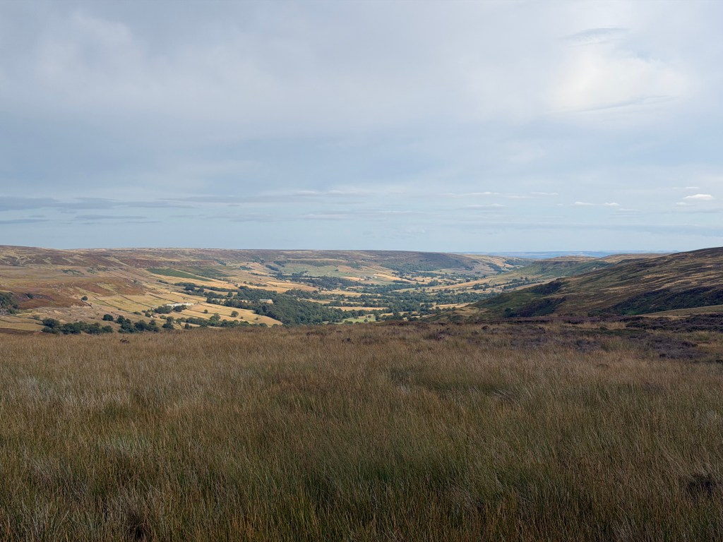
After 30 minutes alongside pastures, the road dead-ended at a telecom station. I knew I needed to turn right, but it wasn’t obvious how, until I heard people coming from the left and spotted a very narrow path along the station fence. It led up to Beacon Hill, with beautiful views over the valley and the moors ahead. A bit further on, through a gate and onto my first moor of the day (Scarth Wood Moor), the path descended into forest, then turned into the lovely Clain Wood. At the gate into the wood I saw the first of many yellow and red “Extreme Fire Risk” signs. I hadn’t seen any before today, so they must have gone up overnight, along with the emergency alert. By then I was hoping to find somewhere to pee in the woods, but between the long-distance walkers and day hikers converging there, there was never a good opportunity.
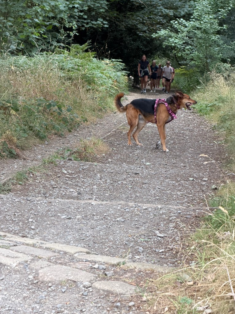
As I walked down a wide path through the woods, a group of maybe a dozen people and dogs passed. The last of them was a man taking a break with his Border Terrier, a breed I hadn’t known before this trip but have really come to like. He told me they’re bred in Northern England, along with Patterdale Terriers. After saying goodbye to him and his pup, I ran into a Dutch couple I’d seen a few times already, including at Ivy Cottage in Reeth, but hadn’t actually talked to yet. Frank and Crystal, easy names for me to remember since they’re also two of my favorite hot sauces (though I didn’t mention that to them), and I walked and chatted for a while, covering the usual ground. They were keeping a slower pace, so after a few minutes I moved on ahead. They’re also stopping near Clay Bank Top today, so I probably won’t see them again until Robin Hood’s Bay, if at all.
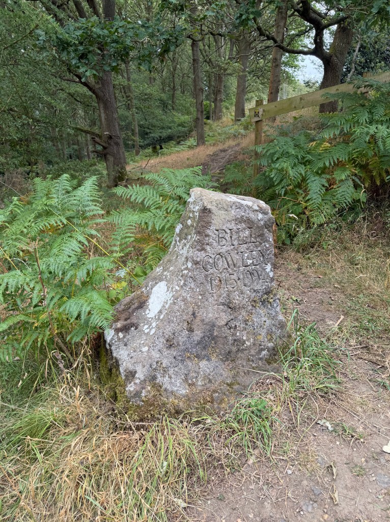
The Nasty Hill and Live Moor
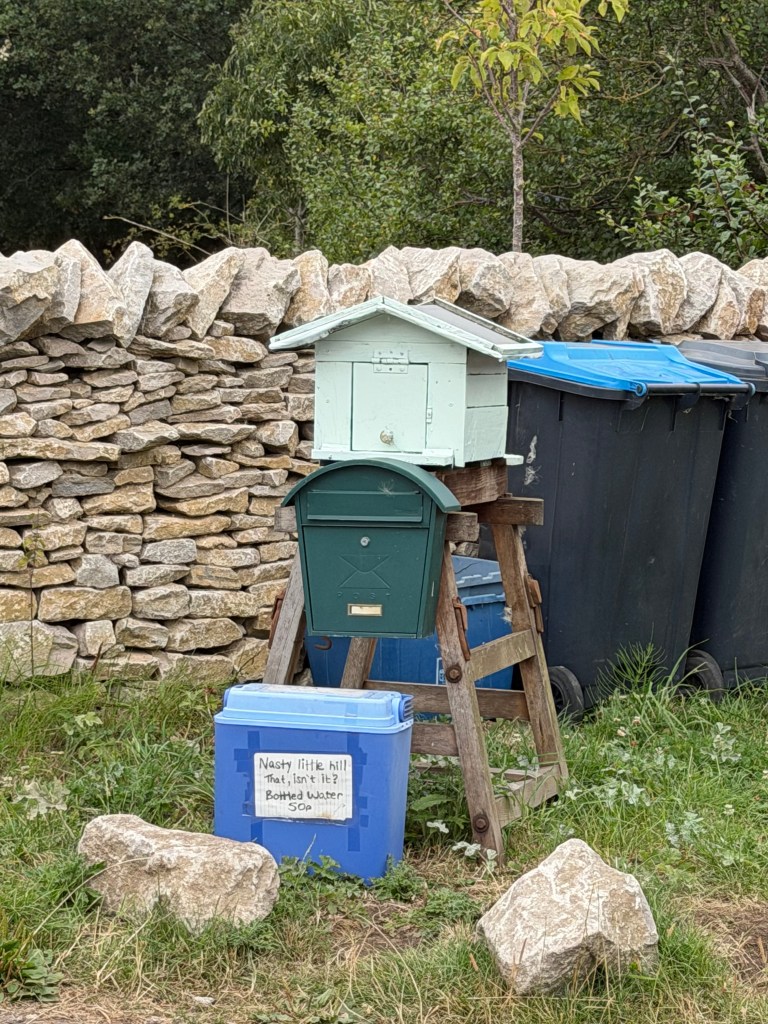
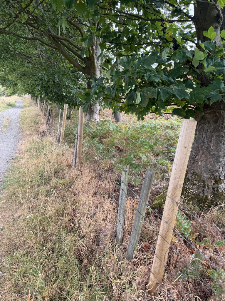
The trail continued out of the woods, across a field, back into woods, then onto a road. Outside a big farm, a cooler with a sign read “Nasty little hill that, isn’t it?” offering water for 50p. I had plenty, so just chuckled and kept walking. Soon after, the path turned off the road and straight up said hill. “Nasty” was the right word for that long, steep climb. A fence on one side looked to be on its 3rd or 4th generation of posts, with a logging operation visible on the other side. I hurried up as fast as I could, hoping to put some distance between myself and Frank and Crystal so I could hide behind the big bush at the top to pee.
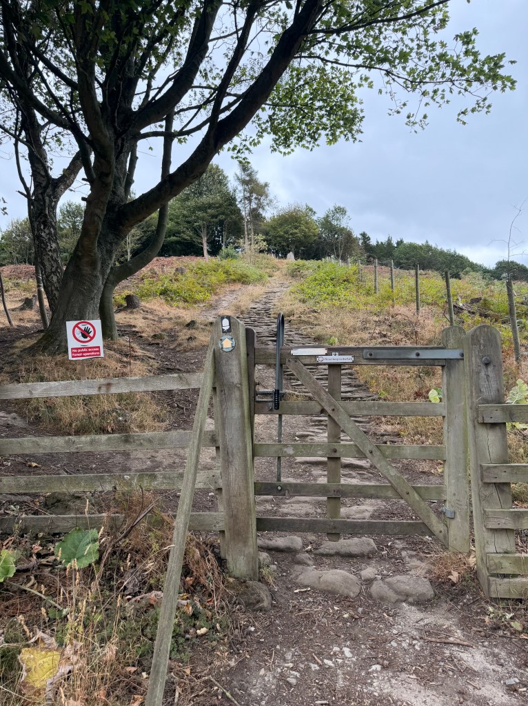
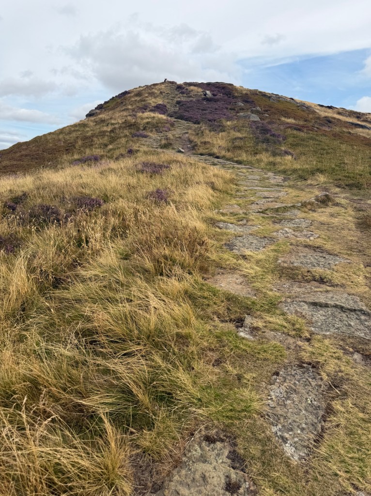
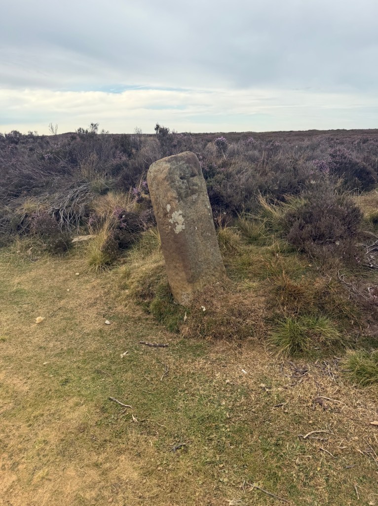
Feeling much better, I reached a gate that both my maps and the trail markers agreed I was meant to pass through, except a sign just beyond it read “🚫 No public access. Forest operations.” I stood there a minute checking for an alternate route, found none, and decided to go through anyway, since it was Saturday and there wasn’t any active work happening. Climbing the path, I looked back and waved at Frank and Crystal, who’d made the same call. It was a steep, stone-paved climb that eventually put me on Live Moor, where I saw the first of many boundary markers I’d pass today, plus a cairn at the summit that is also a Bronze Age burial mound from around 2000 BC.
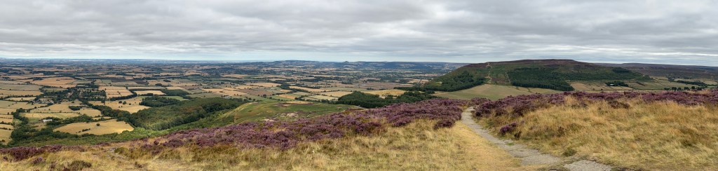
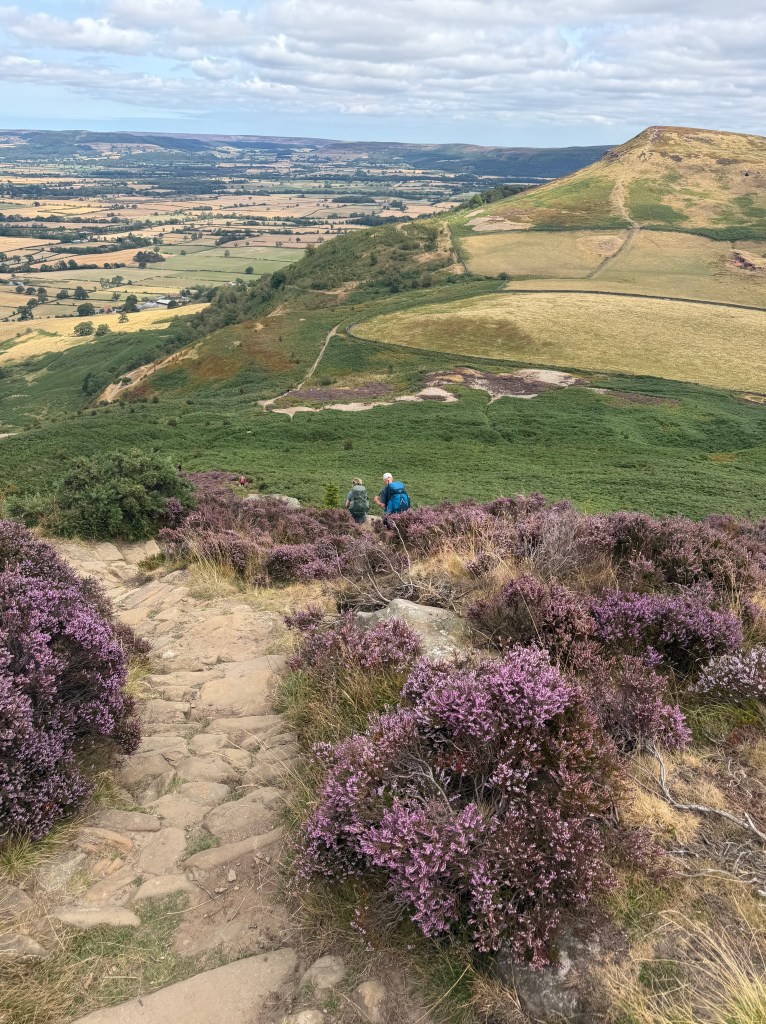
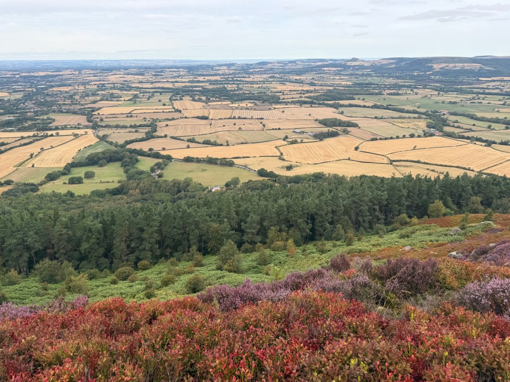
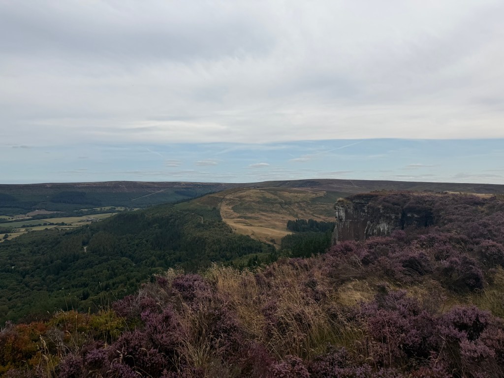
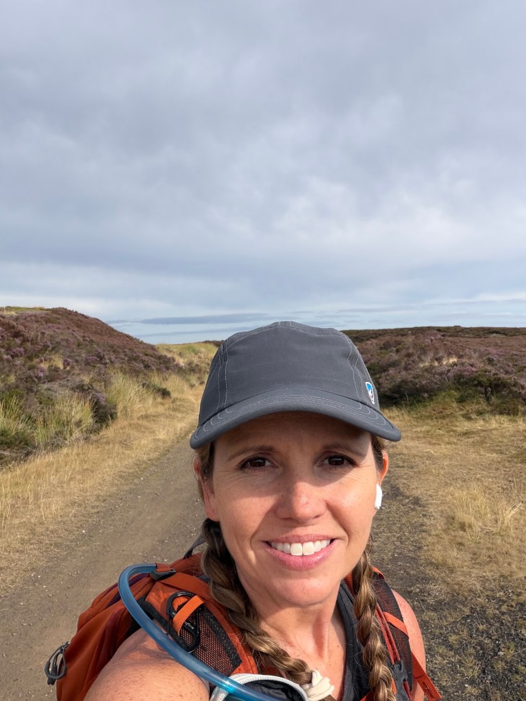
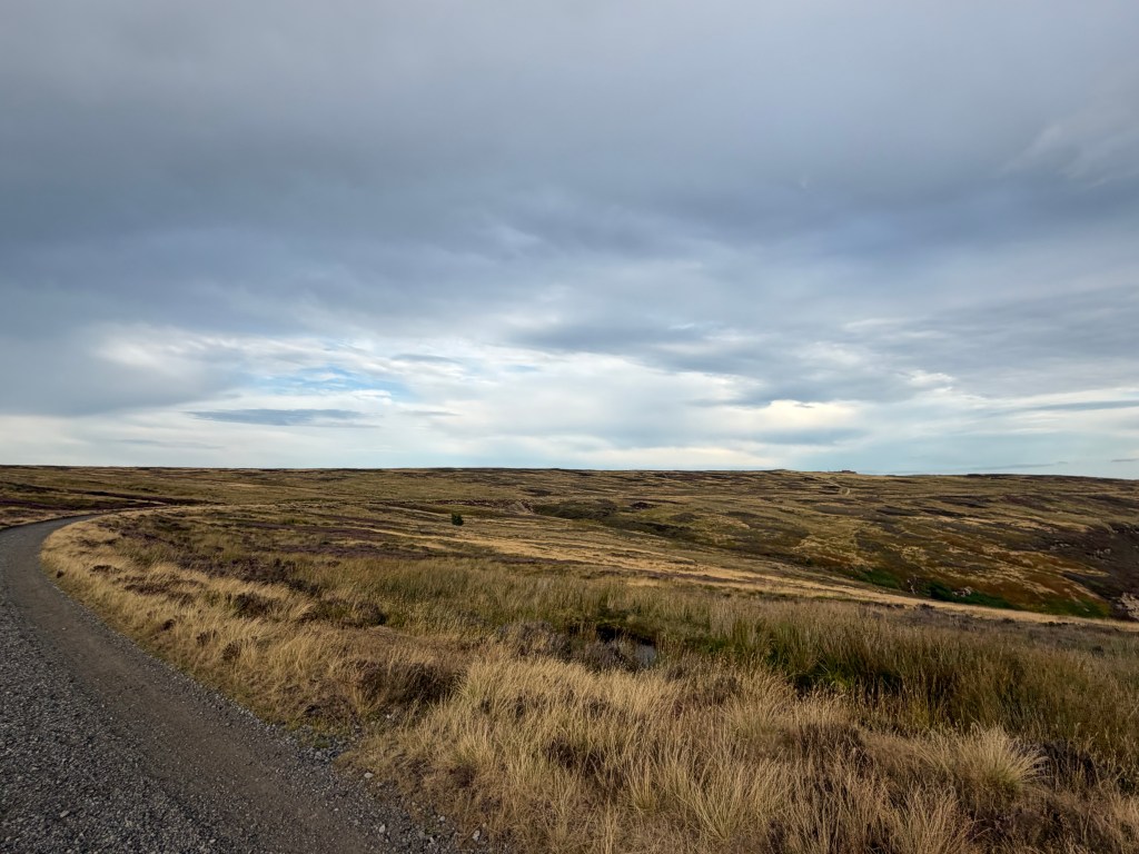
The first 5 miles (25% of the day’s distance) went by quickly. I was finally on established path through heather-covered moorland, the scenery that would dominate the rest of the walk. It was so beautiful, the weather had turned cooler and overcast, my feet felt okay, and I felt happier than I had since leaving the Lake District. It’s not that the days in between haven’t been enjoyable, it’s just that scenery this stunning is genuinely intoxicating.
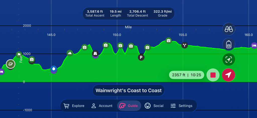
All that was left was 5 more ~400 ft ascents and descents over the next 6ish miles, then a relatively level 9ish miles to the Lion Inn. I told myself I’d stop counting hills and miles after that point, since doing the math always makes the work feel harder. This stretch, from Live Moor to Clay Bank Top, is popular with day hikers, dog walkers, and trail runners, so there were plenty of people to say hi to along the way.
Carlton Moor and the North Sea
From Live Moor’s summit (312 m / 1,025 ft), the path dipped slightly, then climbed about 300 ft to the top of Carlton Moor (408 m / 1,340 ft). Heading down from Live Moor I spotted a couple of paragliders in the sky, then lost track of them once the climbing started again. Near the summit I passed a pair sitting on the ground, apparently planning their next glide, possibly the same ones. I wanted to stop and ask questions, but they seemed focused, so I let them be.
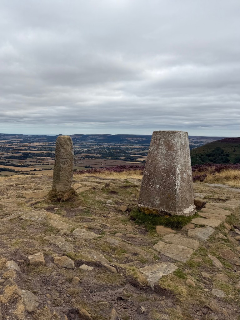
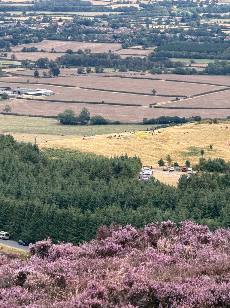
At summit of Carlton Moor, I stopped by the trig point and boundary marker, and got my first glimpse of the North Sea. I was so overwhelmed with joy I almost cried. It would still be a couple more days before I actually dipped my toes in it, but standing there, it hit me: I’d walked almost all the way across England. Looking down, I saw a group readying more paragliders, and turning back the way I’d come, caught the guy with the orange one just as he took off, and stood there watching him glide away. I can’t imagine what it must feel like to float over these moorland hills like that.
Finally it was time to move on, and Lee called, I was so excited to talk to him. He’d just landed in London, but his connecting flight to Manchester was delayed, leaving him with a long layover. I gave him directions to the lounge I’d waited in, always busy, but far calmer than the main terminal, and a much better way to kill several hours at Heathrow. Reception wasn’t great up on the moors, and I was trying to conserve battery, so we couldn’t talk long.
Lordstones
From Carlton Moor’s summit, a short but steep drop led into the next valley, home to Lordstones, my planned lunch stop. On the way down I passed a guy with a huge backpack, who asked if I was doing the C2C. I asked about the pack instead: his paraglider was inside, and he was headed up to launch. He said they were hoping to reach somewhere 170km (105 miles) away, though he wasn’t sure they’d make it given the weather. It wasn’t until a few minutes later that I realized I should have asked what happens if they don’t.
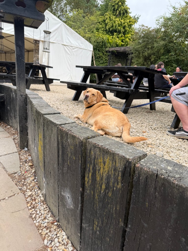
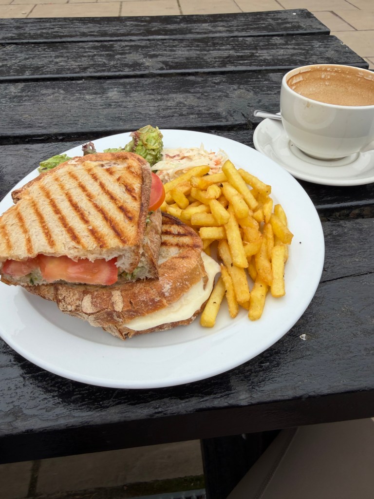
Lordstones is a big operation, camping, glamping pods, popular with day hikers, dog walkers, and C2C and Cleveland Way walkers alike. I dropped my pack at an outdoor table and went in to order a latte and sandwich, only to learn they didn’t start food orders until noon. So I browsed a rack of cheeky greeting cards, pet a very friendly, very large yellow lab named Max, and sipped my latte for 15 minutes until I could finally order. Lunch, when it came, was a tomato, mozzarella, and pesto toastie with chips (of course), and so good, but by the time I finished I’d been there an hour and was eager to get moving again. I used the toilet, grabbed a takeaway latte, refilled my water, and set off to tackle the 4 big climbs still ahead (not that I was counting).
Cringle Moor to Cold Moor
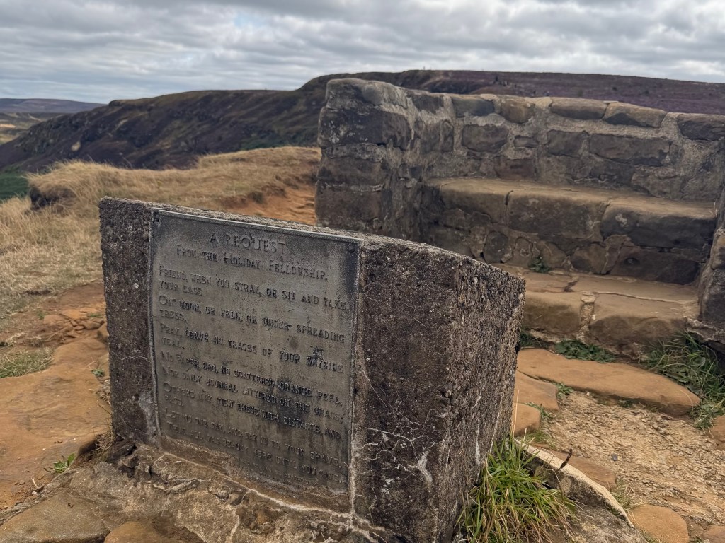
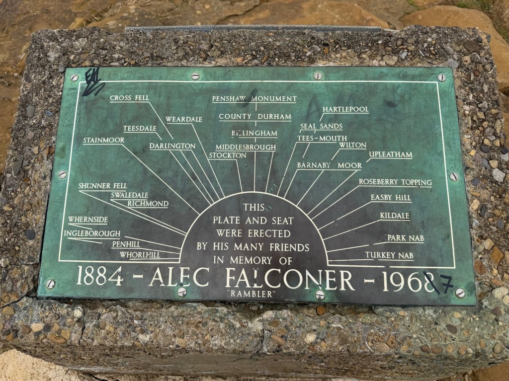
At the top of Cringle Moor (432 m / 1,417 ft) I stopped at the Alec Falconer memorial seat. Falconer, known as The Rambler, was instrumental in creating the 109-mile Cleveland Way, but died a year (or two, depending on which version of his memorial you believe) before it officially opened in 1969. Standing there, I thought about what was left: 3 more big climbs and then 8 or 9 miles of relatively level path felt pretty doable. The steep, seemingly endless path down reminded me it’s not the climbs that get you, it’s the descents. In reality it was less than a quarter mile, but it took me 20 minutes, about a third of my normal pace. The whole time I was scared I’d slip, injure myself, and not be able to finish the C2C. I breathed a huge sigh of relief at the bottom and hoped it was the worst descent left.
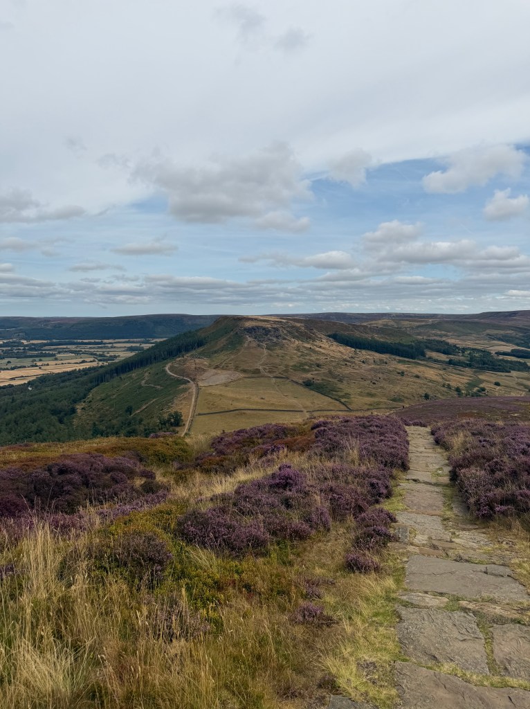
On the way to the next moor I passed the signpost for Great Broughton, presumably where the Dutch family would turn off today. Climbing the steep dirt and rock path up Cold Moor (401 m / 1,315 ft), I looked back and counted at least half a dozen paragliders floating high above. Crossing the moor, I admired the Wainstones atop Hasty Bank before tackling another steep, but thankfully shorter, descent.
The Wainstones and Clay Bank Top
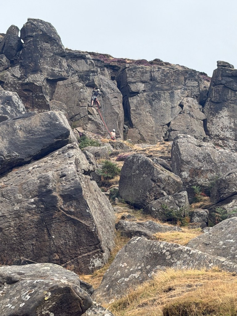
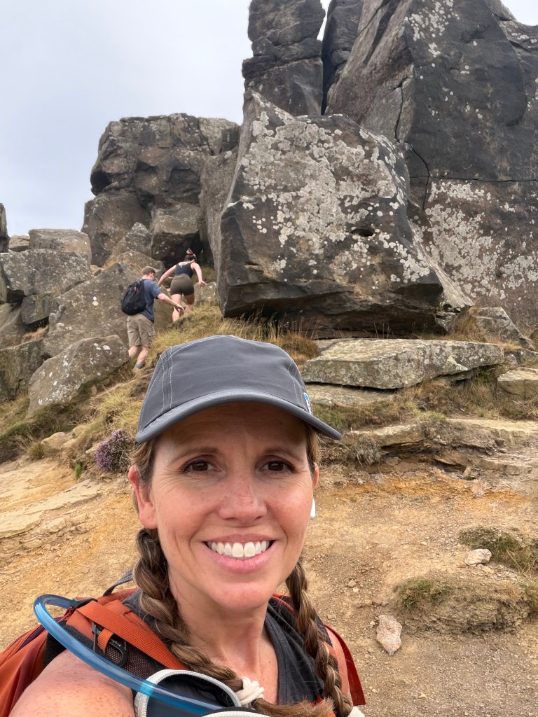
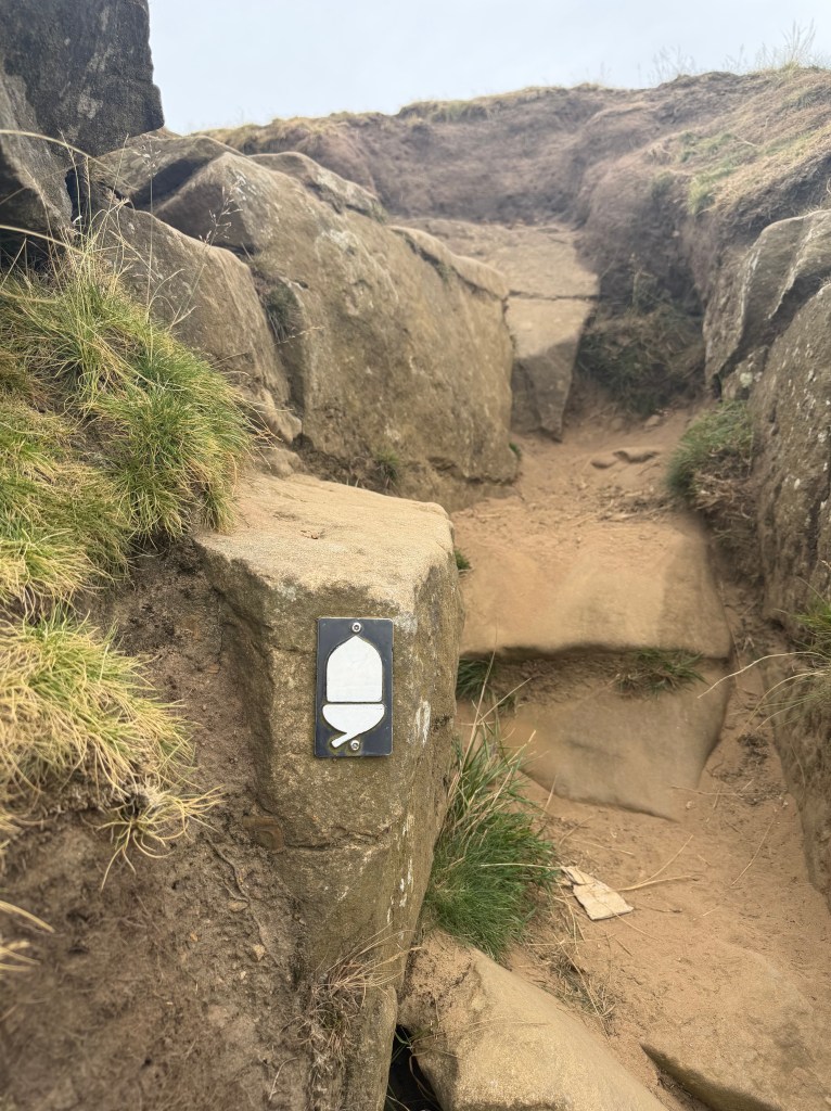
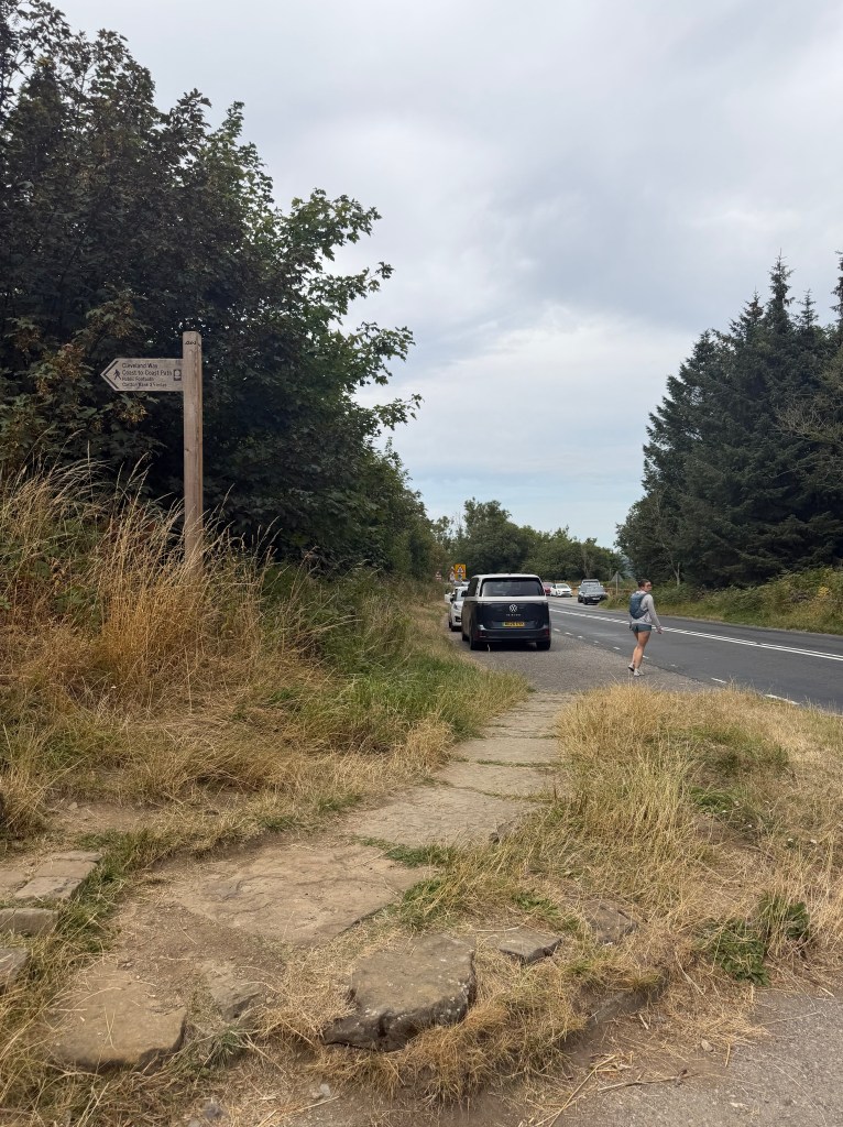
The Wainstones on Hasty Bank are a huge rocky outcropping, popular with rock climbers too, sitting right on the C2C path. The book, backed up by the signage, insists it’s actually safer to traverse the stones than go around them. The scramble was a bit nerve-wracking, but the views from the top of Hasty Bank were incredible. After a brief break and a quick check-in with Lee, I crossed the moor and made my last long, steep descent of the day down to Clay Bank Top. It’s surprising to me that Clay Bank Top earned a spot as one of Wainwright’s official segment start/end points. It’s just a pull-off with a parking area on a road. No village, no facilities, not even a toilet.
Once across the road, I sat on a rock for a short break, checking my maps and the book to get a feel for what was left. The last big climb was right there in front of me, 350 ft up to Carr Ridge, then a short flat stretch, then a gentler 250 ft climb to Round Hill, the summit of Urra Moor (454 m / 1,490 ft) about 2 miles from here. After that, it was basically level for the remaining 6.5 miles to Blakey Ridge and The Lion Inn (which are basically synonymous).
The stretch up to Clay Bank Top had been probably the busiest section of trail I’d encountered anywhere on the C2C. Heading east from there was a stark contrast. I think I saw two people the rest of the way to Blakey Ridge: a woman, not dressed for hiking, walking up to sit on the rocks at Carr Ridge and draw, and a man also doing the C2C, whom I’d cross paths with a couple more times. Thankfully there were more sheep on this side to keep me company.
The Hardest Stretch
After the short break at Clay Bank Top, my heels were in a lot of pain as soon as I started climbing, just from that pause without properly stretching before setting off again. Luckily there was a bench partway up where I stopped for a proper rest, pack and shoes off, massaging my heels, rolling my feet on the lacrosse ball, and taking some Advil. It helped enough to get me up the steep section and the gentler climb to Round Hill, but partway up I felt a sharp pulling, burning sensation in my left heel, and from then on that spot hurt badly. Between the pain, the fear I’d actually injured myself, and knowing I still had 7.5 miles left, I was genuinely despairing, so I texted Lee to call me when he could for a pep talk.
The pep talk helped. Just hearing ‘you can do it’ from him really helped to stop thinking about whether I should have split this segment and just focus on the task ahead. He also reminded me this was a great time to finally indulge in a podcast. A friend had recommended The Walkers, an investigative look into the true story behind The Salt Path, the book I’d finished reading the morning I left for this trip. Right up my alley.
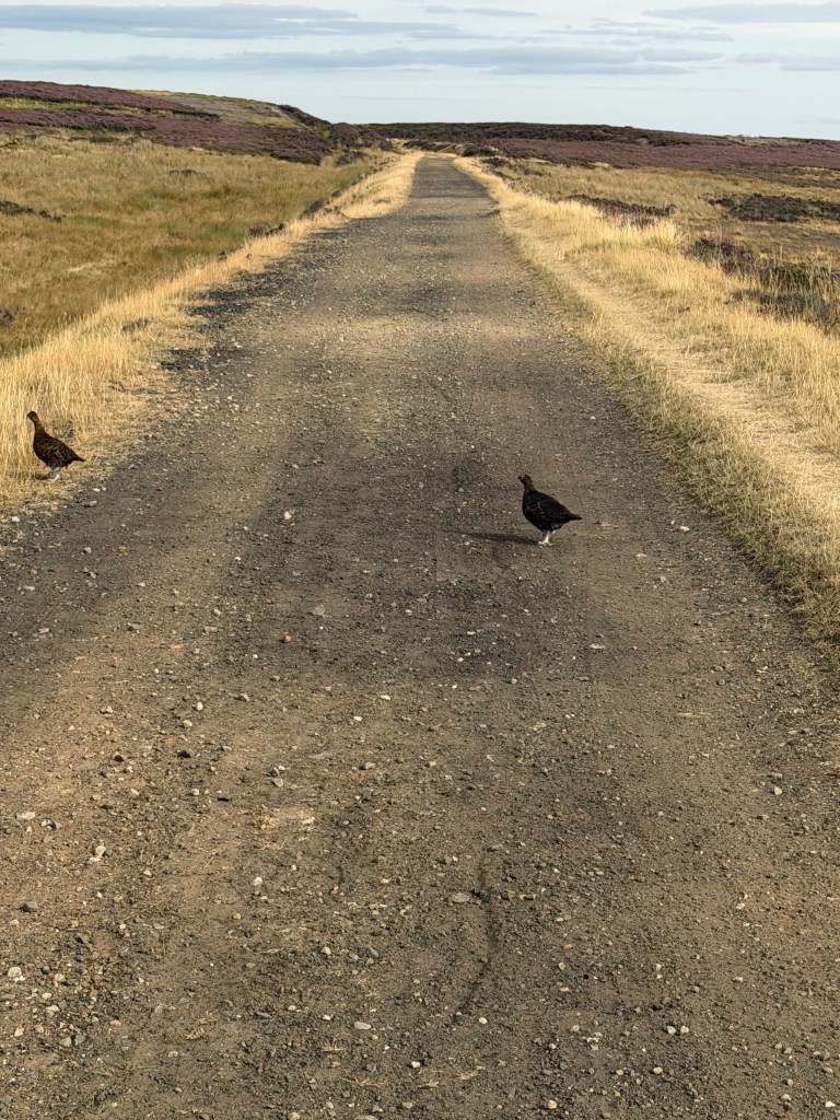
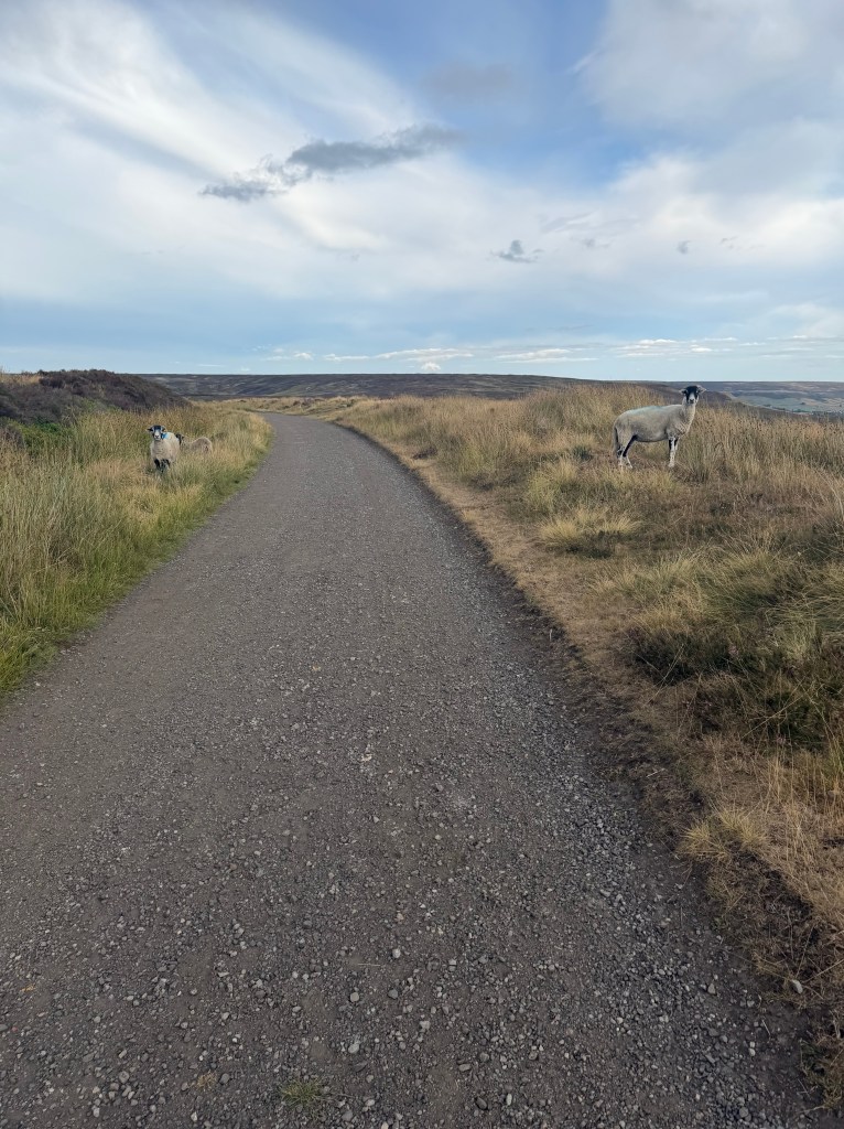
By around 5pm I had 4.5 miles left. My feet still hurt, but the sharp pain in my heel had eased. The path was easy, soft, gently rolling, beautiful moorland with valley views, sheep, and ground-nesting birds. That, plus the podcast, helped the miles pass faster. I didn’t dare take a real break, only ducking into the heather to pee, worried my heels would stiffen back up if I stopped. But I was managing, and hoping to reach Blakey Ridge in about an hour and a half.
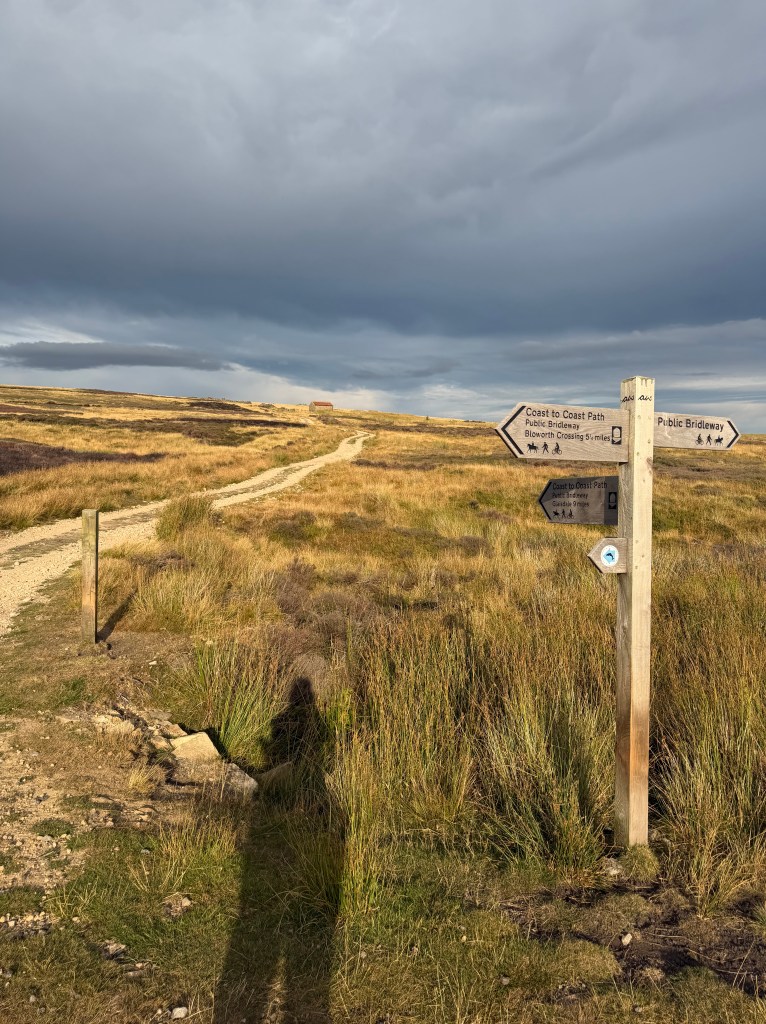
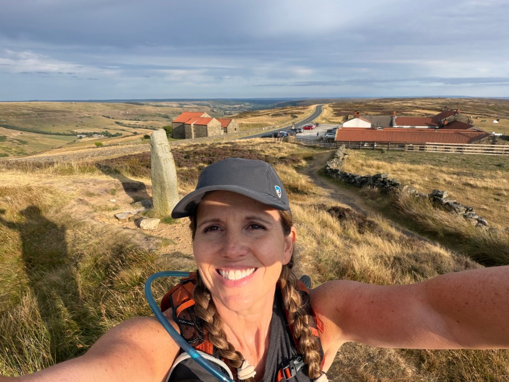
About 1.5 miles out, I spotted The Lion Inn on the horizon. A moment of pure joy, before I remembered how far away it still actually was. At 6:30 I reached the sign for the turnoff, then it was up the annoyingly steep quarter-mile path to the inn itself. As I approached the turn, the Dutch family texted to check if I’d made it okay. I was so thankful someone was thinking of me, and so exhausted, and so dreading that last climb, and so proud I’d made it this far, that I nearly cried. At 6:40 I was checking in.
Arriving at The Lion Inn
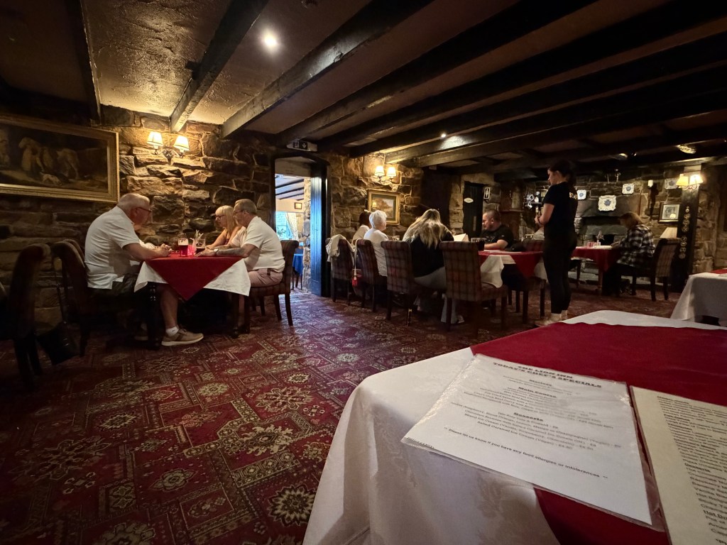
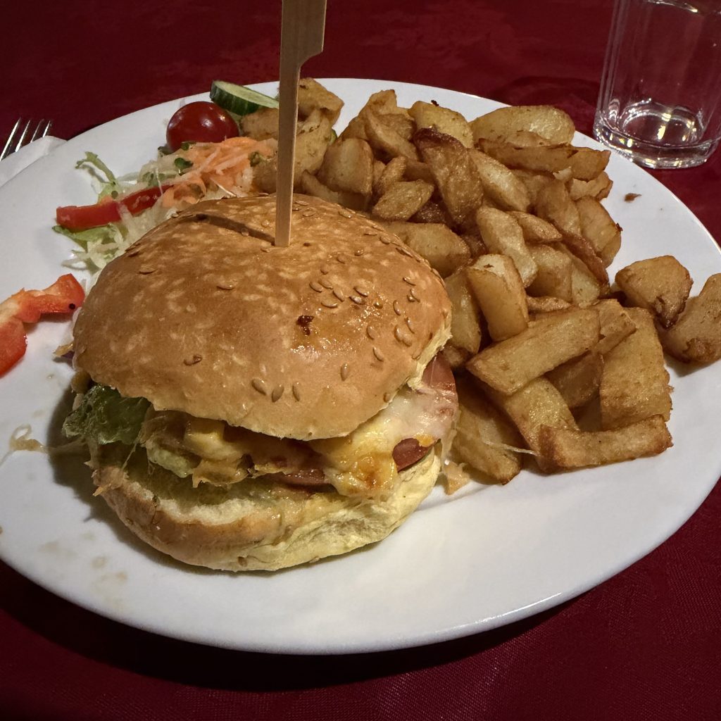
The Lion Inn is quite a place, dating from the 1550s, low ceilings, sprawling (a bar plus 3 separate restaurant areas), dimly lit, stone walls and fireplaces, all 16th century character. But I only had two things on my mind: eating and sleeping. I went to my room (thankfully no stairs), cleaned up a little, changed into sandals, and was back down in the pub by 7 for dinner: jalapeño poppers, a veggie cheeseburger, chips (of course). Too tired for dessert. Back in my room, I showered, fell into bed, and called to say good night to Lee, who’d made it safely to Manchester.
I’ll be honest, today was tough. Really tough. Probably one of the longest, hardest, most painful things I’ve had to push myself through. Some of it was mental, especially after Clay Bank Top, wondering if I should have split this into two days. It was also beautiful, that first glimpse of the North Sea, watching it grow closer with every step, walking through moors so vividly colored and unlike anywhere else I’ve been. I’m so happy I did it, and I’m stronger for it.
If I ever do the C2C again, though, I’ll split this section in two. I feel like I missed out on really experiencing the joy of the second half of today, and of The Lion Inn itself, because I was struggling so hard just to get through it. And I’m a little worried now about how my feet will hold up for the last two days. I especially don’t want to be struggling on the very last one, when I’ll finally be walking with Lee into Robin Hood’s Bay.
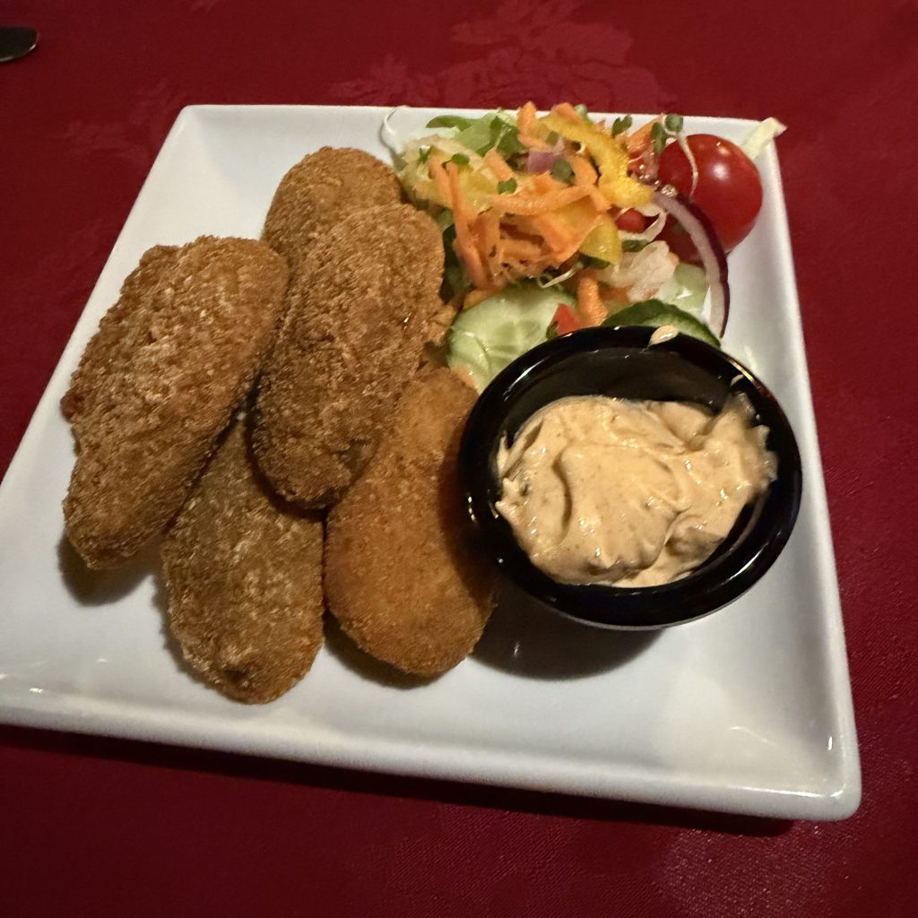
Yes, I ate them all.
 Joanna On The Trail
Leave a comment