Friday, August 7, 2026
💡PRO TIP: Manage pack weight ruthlessly, especially on long days. The heavier your pack, the harder you work on every step. Water is a big culprit: my 3L bladder plus 1L Nalgene is about 9 lbs, roughly half my pack weight. On long days I carry ~2L total and finish with ~1L left, so I should cut back further (I’ve got a bit of water anxiety). The same goes for everything else: you need gear for rain, layers for wind and cold, and enough food, but question whether you really need each thing that goes in your pack. Avoid carrying a bunch of ‘just in case’ items – the weight adds up.
16.74 miles / 4,802 ft elevation gain
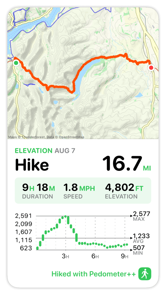
Today was like 3 walks in one: climbing to Kidsty Pike with its amazing views, trudging around Haweswater Reservoir, and then (leaving the Lake District behind) walking through rolling pastures. I knew it would be a hard day, maybe the hardest of the whole walk. The book says it will be 15.5 miles with 4,400 ft of elevation gain (most of it in the first 5 miles) and take 8 hours, without any stops. Turns out, it was much longer, with more climbing.
I awoke before my alarm, feeling well-rested, at 6am. I used the extra time to rearrange my bag, making room for wool shop purchases and transferring anything I didn’t absolutely need from my backpack to my luggage.
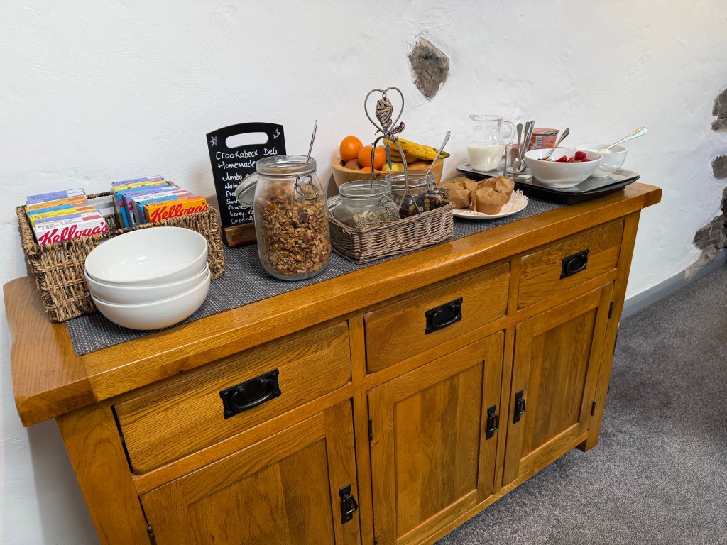
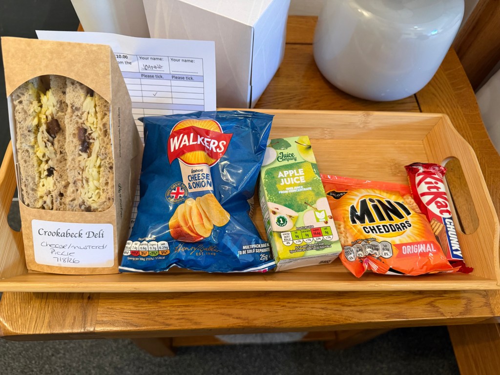
I’d booked an 8am breakfast but went to the lounge earlier, as Adam suggested, to enjoy yogurt, granola, cereals, and fruit. When I walked in, my place was set, the apple juice I’d ordered was waiting for me, and my coffee was quickly delivered. I ate some yogurt with a very tasty homemade granola while I waited for my hot meal (scrambled eggs, grilled tomato, toast). Everything was delicious, as expected. My lunch was also delivered: a cheese/pickle/mustard sandwich, cheese & onion crisps, mini cheddar crackers, a chunky KitKat, and apple juice. With all the leftovers from previous lunches, I must have 10 lbs of food in my bag! So much for lightening my load.
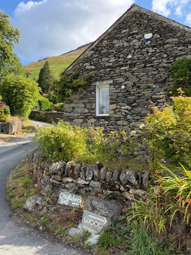
I couldn’t have been more delighted with my stay at Crookabeck; I wished I could have stayed a couple more nights. From being treated warmly by Adam and Julia, to the delicious food, to the cozy room and guest lounge, it was exactly what I needed. But finally, it was time to leave, and I set out just after 9am.
Up Patterdale Common to Angle Tarn
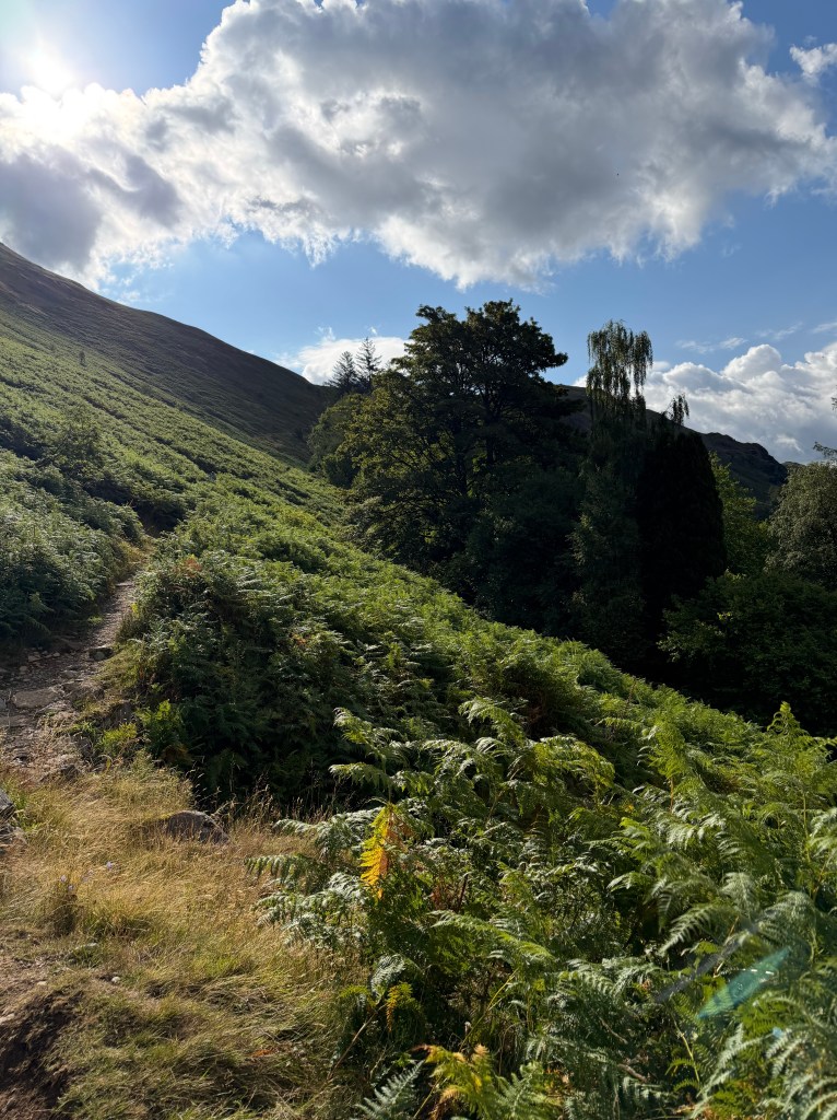
I followed the road back north and looped around to the right to start climbing Patterdale Common, the fell behind Crookabeck. The path was rocky, sometimes with rock steps. With the sun out, it wasn’t long before I needed to stop to strip down to my tank top and slather on some sunscreen. Finally, I made it to a place where the path levels off briefly, Boredale Hause. On the map it looks like a major interchange, with trails going off in all directions, but I found my way easily.
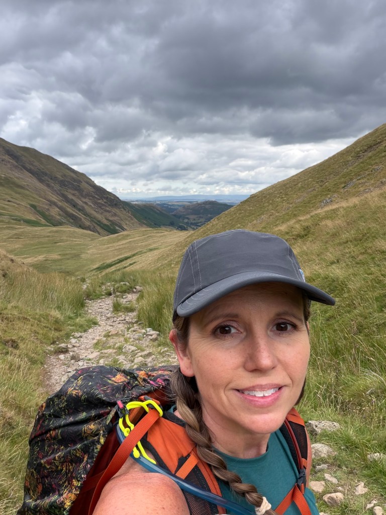
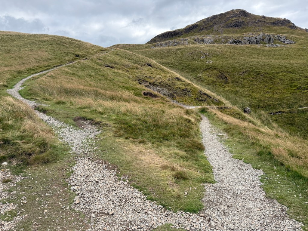
From there, the path continued going up. The sun went behind the clouds and it got windier, so I stopped to put back on my long-sleeve and pull the hood up (my ears were so cold it was giving me a headache). While I was doing that, another C2Cer passed who was camping and carrying all of his own stuff, which he said weighed 25 kg (55 lbs)! Soon after, there was a choice of two paths below Angletarn Pike, which reconverge before Angle Tarn. I chose the left one, which climbs first then levels off (the other one presumably levels first, then climbs, since they end up in the same place).
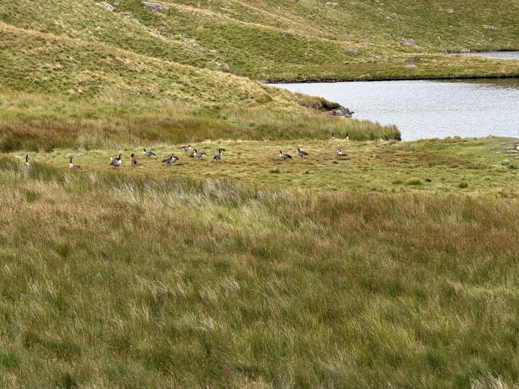
Finally, Angle Tarn, with its two islands, came into view. It was beautiful! As I was walking around it, I noticed a flock of Canadian geese on a flat patch of ground on the shore. I’d seen other hikers walk by them, but for some reason they decided I was threatening and they needed to leave the premises as I walked up. My feelings weren’t not hurt! 😢


Buck Crag to Kidsty Pike
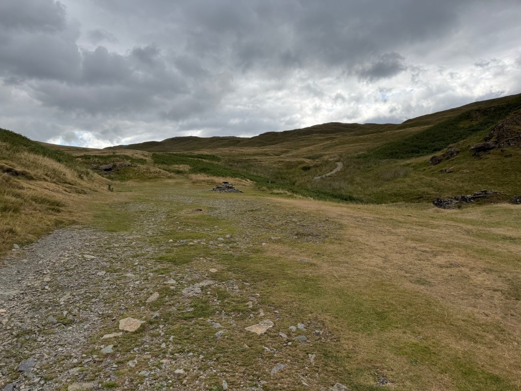
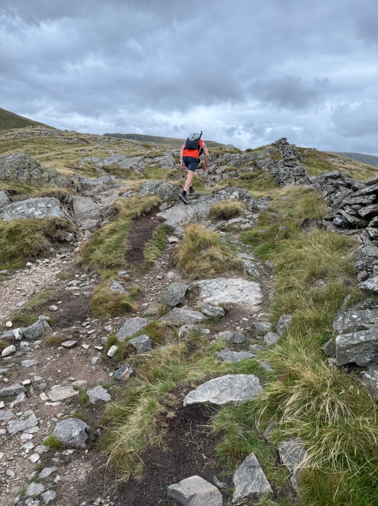
Continuing around Angle Tarn, the path keeps climbing, past Buck Crag and Satura Crag. Along the way, it gets particularly dicey, with rocky outcroppings. It was around here that I heard someone running (yes, running) up behind me. It was a friendly fell runner who chatted as he passed, turning back to speak to me as he ran up the rocky path!
The path kept going up, up, up. Around The Knott and along a rock wall, until I hit the cairn that indicates a left turn to go up to Kidsty Pike. It was here that I saw a group of 4 people who’d stopped next to a stone fence to bundle up. I asked if I could share their wall (to block the wind) and put on my rain jacket and beanie. We chatted for a bit, then said our goodbyes, as they were on a different trail.
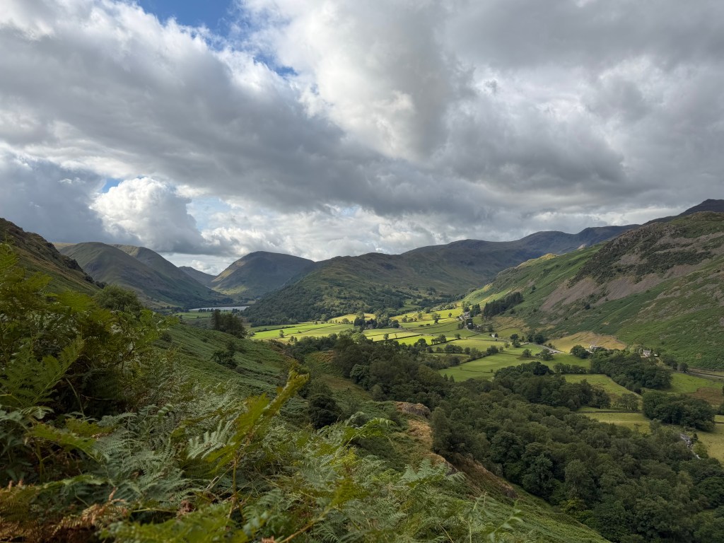
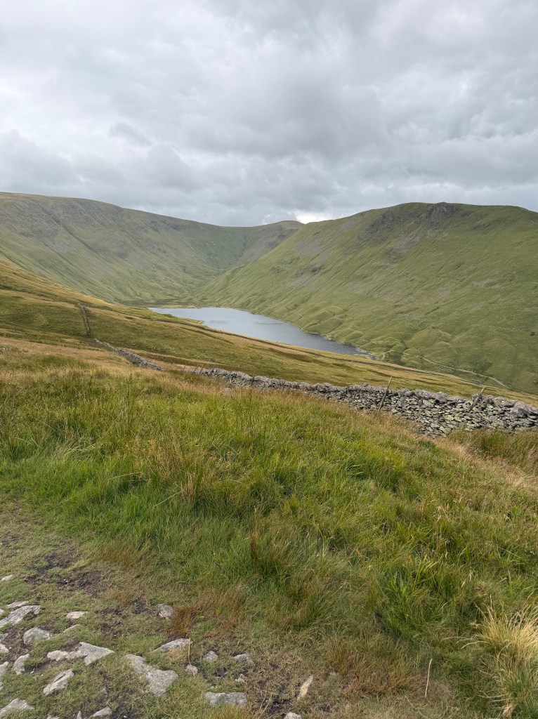
Up I went on the final ascent to Kidsty Pike; compared to what I’d experienced so far, it was relatively easy. As I was taking photos on the peak, 2 more fell runners passed me by. These people are crazy; I don’t know how they don’t break their ankles. From the top I spotted part of Haweswater, which I’d be walking around once I got down from the peak. It looked very far away.
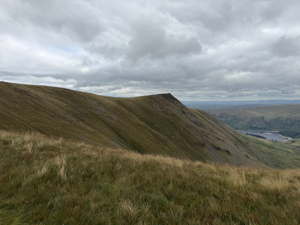
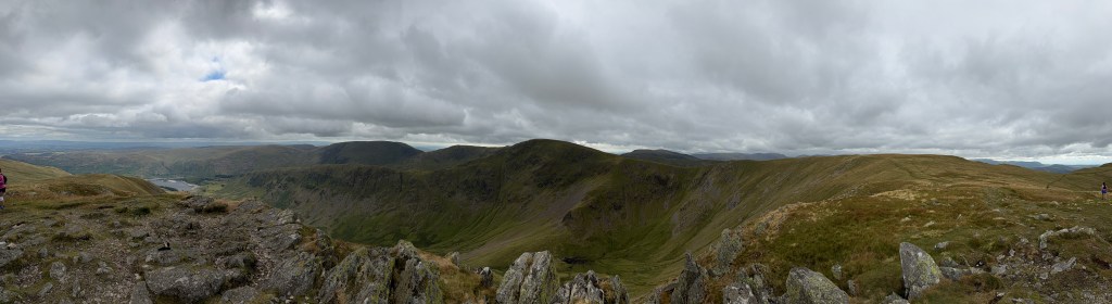
The Descent to Haweswater
The descent starts off innocently enough, down grassy fields. I was starving by then, so I stopped at the least windy spot I could find to eat half of the delicious sandwich from Crookabeck and chug the apple & pear juice carton I still had from Grasmere. While I was eating, two adorable border terriers appeared out of nowhere, probably hoping to share my sandwich. The guy with them said the most friendly one was only 8 months old and on his first big hike.
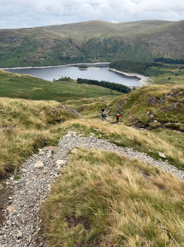
Just after I set off again, the descent got really steep. It had taken me about 3 hours to get to Kidsty Pike, and it would take me almost half that long to get back down. On the way down, I saw Lorna and Ettie chatting with two women carrying bikes up the path. I can’t imagine where they were going riding!
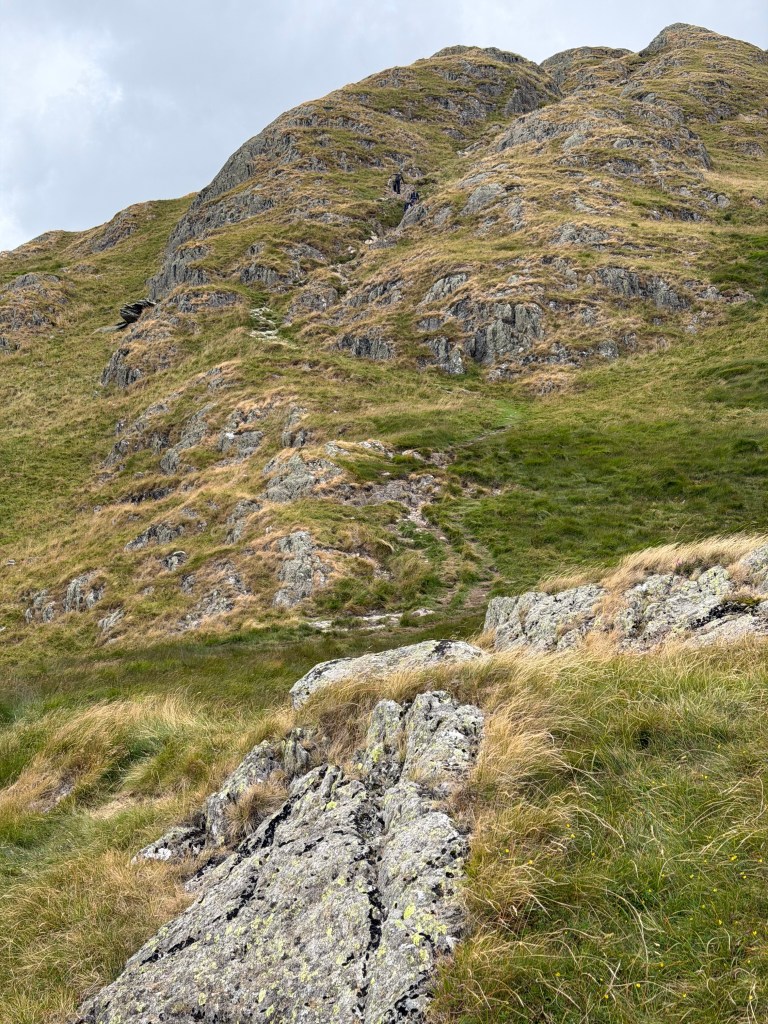
The book was not wrong; at times I needed my hands to climb down the steepest, rockiest part. Once I got through that part, there was a steep grassy section, that felt like it went on forever. I think I preferred the rocky part.
Along Haweswater
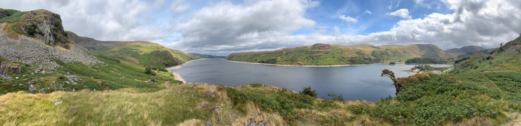
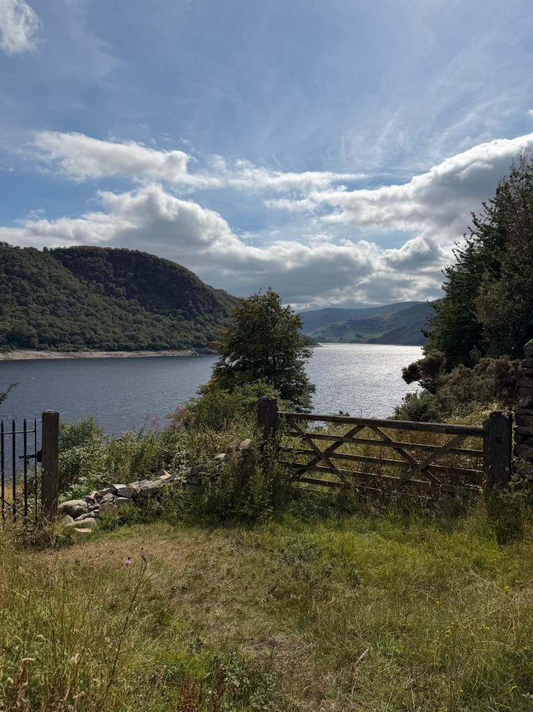
At 1:30, I finally made it to Randale Beck and the gate that marks the beginning of the 4-mile section along Haweswater Reservoir. Haweswater used to be a much smaller natural lake in the Mardale valley, until the 1930s when Manchester Corporation dammed it to provide water to the city and the north-west of England. In the process they flooded the farming villages of Measand and Mardale Green, after evicting and relocating residents, and dismantled their church, reusing its stones to build the water take-off tower that still stands on the reservoir’s western shore.
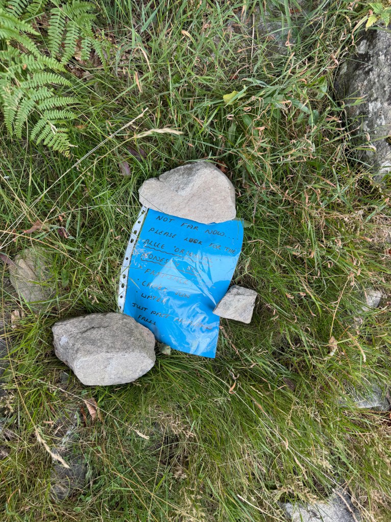
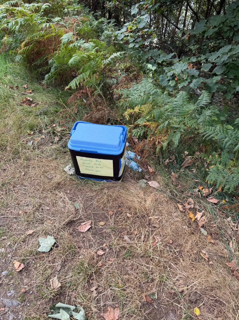
The path starts with a view of the lake on the right and some pretty woods on the left, but that doesn’t last. The trail was rocky and undulating, often overflowing with bracken, so I had to push the bracken aside to see the rocks I needed to step on or over. With limited views of the lake, and bracken or wall on each side, the path quickly becomes monotonous.
While the trail has been tough on prior days, I’d never thought about the hours or the miles because I was so enjoying the experience and the scenery. Going around Haweswater, I found myself counting down how long it would be until I’d be done with the lake. I really needed a pep talk, but when Lee and I tried to do our usual call I didn’t have a good enough signal. So, I had to pep talk myself and keep marching on. Around 3pm I happened upon Lorna and Ettie, who’d stopped for lunch. I joined them on their rock, ate the other half of my sandwich, and felt my mood improve immediately.

Rolling Pastures to Shap
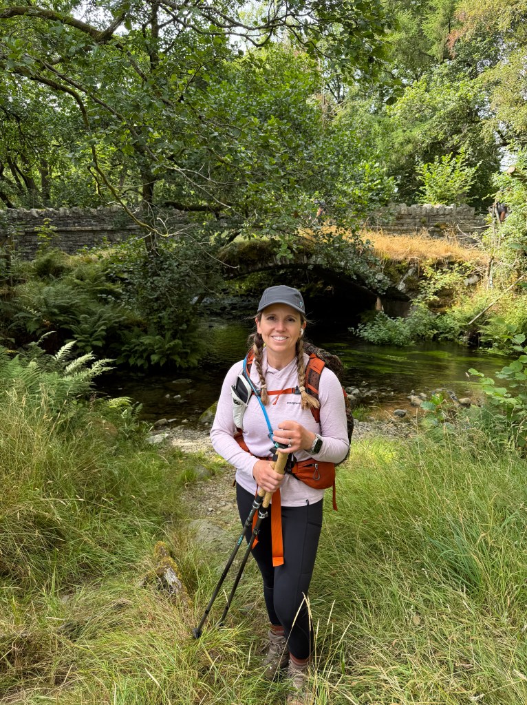
Around 4pm I said goodbye to Haweswater (and the Lake District) and hello to Burnbanks, a “model settlement” built by Manchester to house workers brought in to work on the dam. A cute little village remains, and it has cell service so I was able to connect with Lee. I passed through the village, some pretty woods, and across a footbridge over Haweswater Beck. Still talking to Lee, I came upon 4 locals walking with a Scottish terrier. They didn’t realize I was on the phone (I was using AirPods) and stopped to chat with me, asking me about the C2C and California, and at one point even taking my picture by the river. This was all very amusing to Lee.
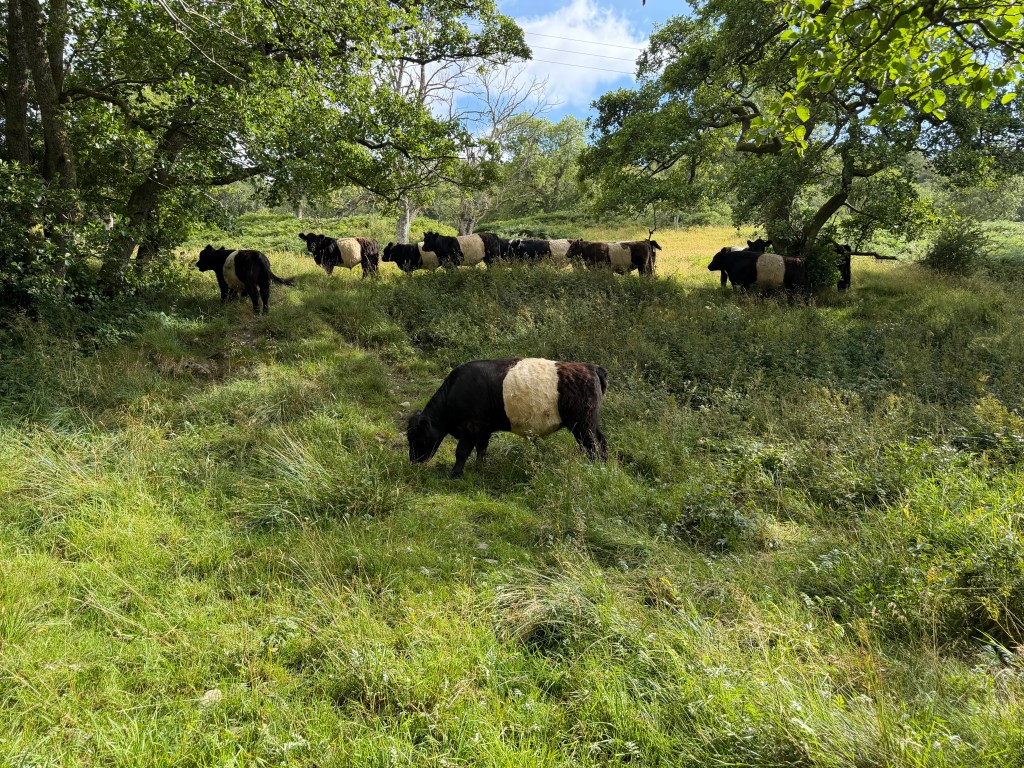
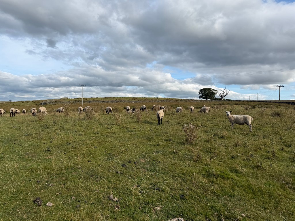
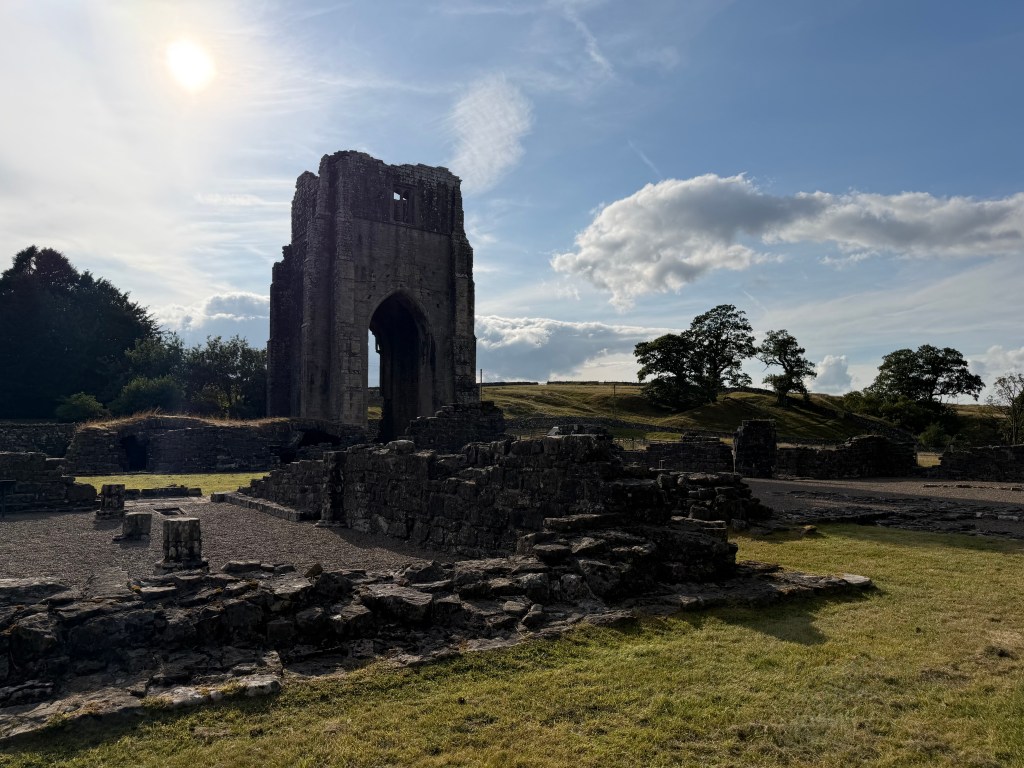
In the 4 remaining miles through fields to Shap, I passed some mildly interested Oreo cows, old stone barns, a sign that said 126 miles to Robin Hood’s Bay, and then finally walked through sheep fields (I hadn’t seen any all day until then!). I also climbed over lots of stiles, which are much more common than gates, now that I’m out of Lakeland. Finally, the ruins of Shap Abbey came into view. The book says, “It’s just regrettable that, by the time you get here, you’ll probably be somewhat of a ruin yourself.” It was 5:45 and my feet were quite sore, but I probably won’t walk to Shap again anytime soon, so I took the detour to check it out.
Turns out, Shap Abbey isn’t that close to the village of Shap, and I was still over a mile away (at that point, a mile sounded like a long way). It was maybe the longest mile of the whole day, mostly on asphalt, which was so painful on my aching feet. Of course the place I was staying was at the far end of town, adding another 1/2 mile.
Finally, I made it to the Kings Arms, barely able to walk. It was the town pub, full of locals, with rooms above it. Very, very basic (there’s a reason their website has very few photos). But it had what I needed, and I could have eaten and slept anywhere at that point. I lugged my suitcase up to my room, cleaned up, and went back downstairs for dinner. Another Moving Mountains burger, this time with cheese.



Leave a comment