Thursday, August 6, 2026
💡PRO TIP: Book B&Bs that offer drying rooms, especially in the rainy Lake District. Wet boots/shoes won’t dry overnight without help, and it really sucks pulling them onto your dry feet/socks in the morning.
9.3 miles / 3,501 ft elevation gain
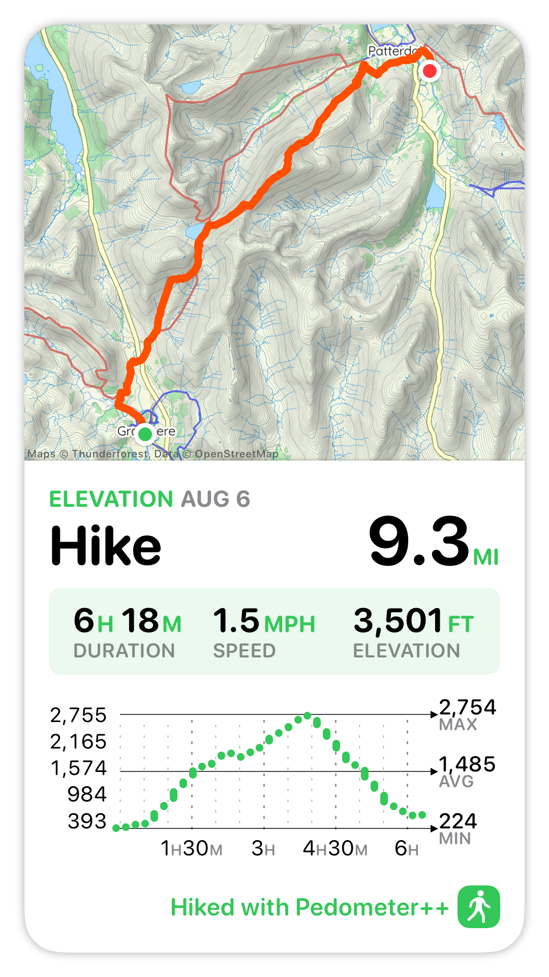
On paper, today seemed like it should have been about as hard as yesterday, but it didn’t feel like it. I think the weather made a big difference; there was no rain today.
The route offered lots of options. Early in the hike there’s a choice at the base of Great Tongue to take the higher, steeper route along Little Tongue Gill, or the official lower route along Tongue Gill, which is also partially paved with flagstones for easier walking. The bigger choice comes after you reach Grisedale Tarn, above Tongue Gill. There are actually two high routes: Helvellyn/Striding Edge, which is what I’d really wanted to do, and St Sunday Crag, which is said to offer better views. The low/official C2C route is through Grisedale valley.
At the beginning of the trail description for Helvellyn/Striding Edge, the book says: “IMPORTANT NOTE! Since the descent via Striding Edge is precarious and, given the sheer drops on either side, can be very dangerous indeed even in calm weather with little wind…” I’d really had my heart set on doing Striding Edge, but the weather forecast was calling for 17mph winds with 23mph gusts, as well as poor visibility. I wasn’t sure what “calm weather with little wind” means around here, and I wished I knew what the wind readings were for Day 3 as a comparison (I wouldn’t do Striding Edge in yesterday’s wind). I chatted with Lee when I woke up (as he was going to bed), and I could hear the concern in his voice, which frankly echoed how I was feeling. So, St Sunday route it is.
Leaving Grasmere
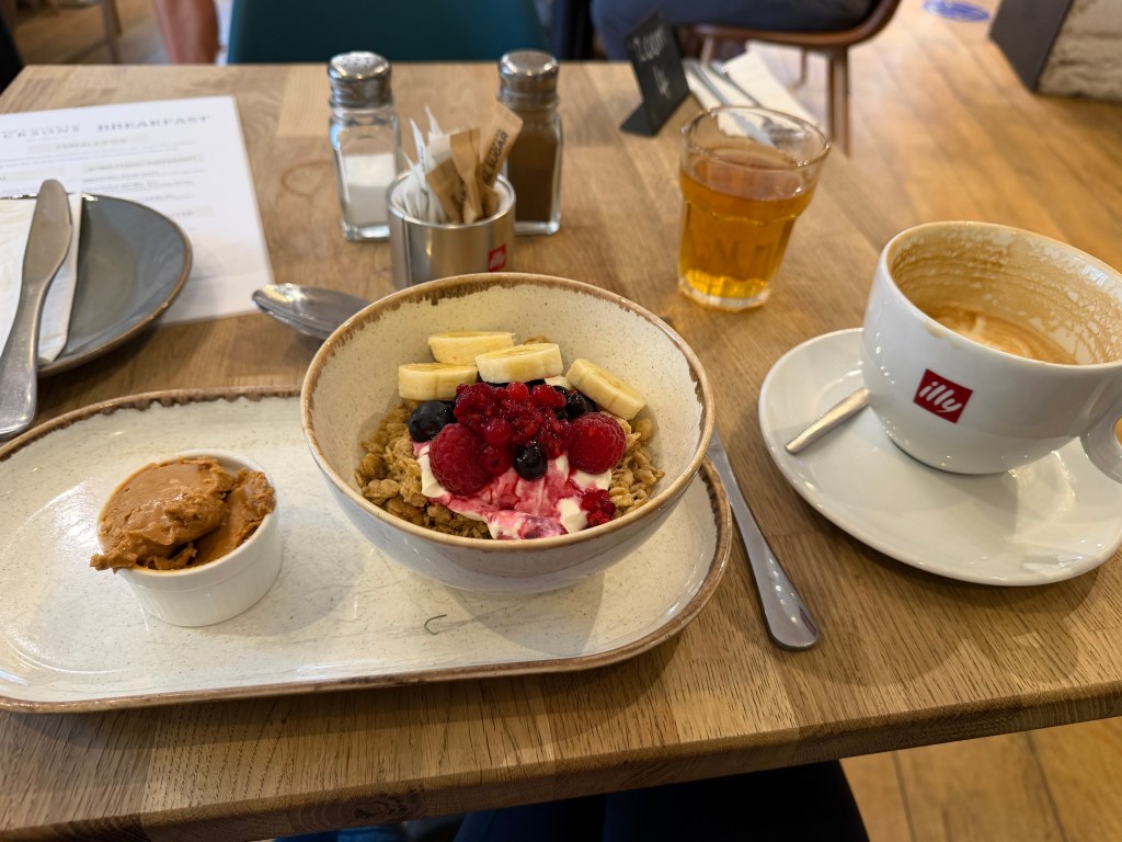
The morning started with breakfast in the cafe. I chatted a bit with the 3 other couples who were there, also walking the C2C and all Australian, about other walks they’d done and challenges some of them had encountered on the C2C (infected blisters; stolen passport). Breakfast was a granola bowl with Greek yogurt, raspberries, blueberries, and bananas, with a tub of peanut butter to mix it in. So rich and delicious. Also, 2 lattes, one of them decaf that I took as a roadie.
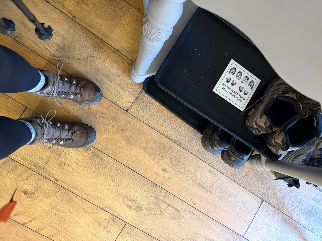
After settling up, I set out a little after 9am. It‘s been tough to leave earlier than that, given the timing of breakfast at most B&Bs. When I checked in, there was a note asking to leave boots on a tray by the door (no drying room). After yesterday’s rain, my boots were still soaked when I pulled them on before heading out the door. I was sad to feel my socks getting wet immediately, knowing they probably would have stayed dry today (no rain forecasted).
Up Little Tongue Gill
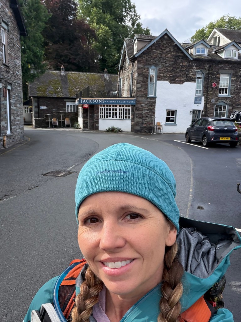
After walking through the picturesque village, past YHA Grasmere, Glenthorne Quaker Guest House, the Lancrigg, and Thorney How, I returned to the trail. The trail crosses the Grasmere valley, eventually getting to the base of Great Tongue, where the first route decision must be made. I chose to go left, up along Little Tongue Gill on the higher level route (off the official path).
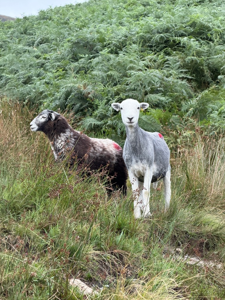
Before heading up, I stopped to take off my long-sleeve sun shirt and put on sunscreen. When I looked up, 2 sheep had come out of the bracken and were staring at me. The path was grassy and steep, sometimes very steep. There were no switchbacks, just straight up the fell. The grass was softer on my feet than the rocks of the last couple of days, but it felt like I have to work harder on the wet grass and it was more slippery.
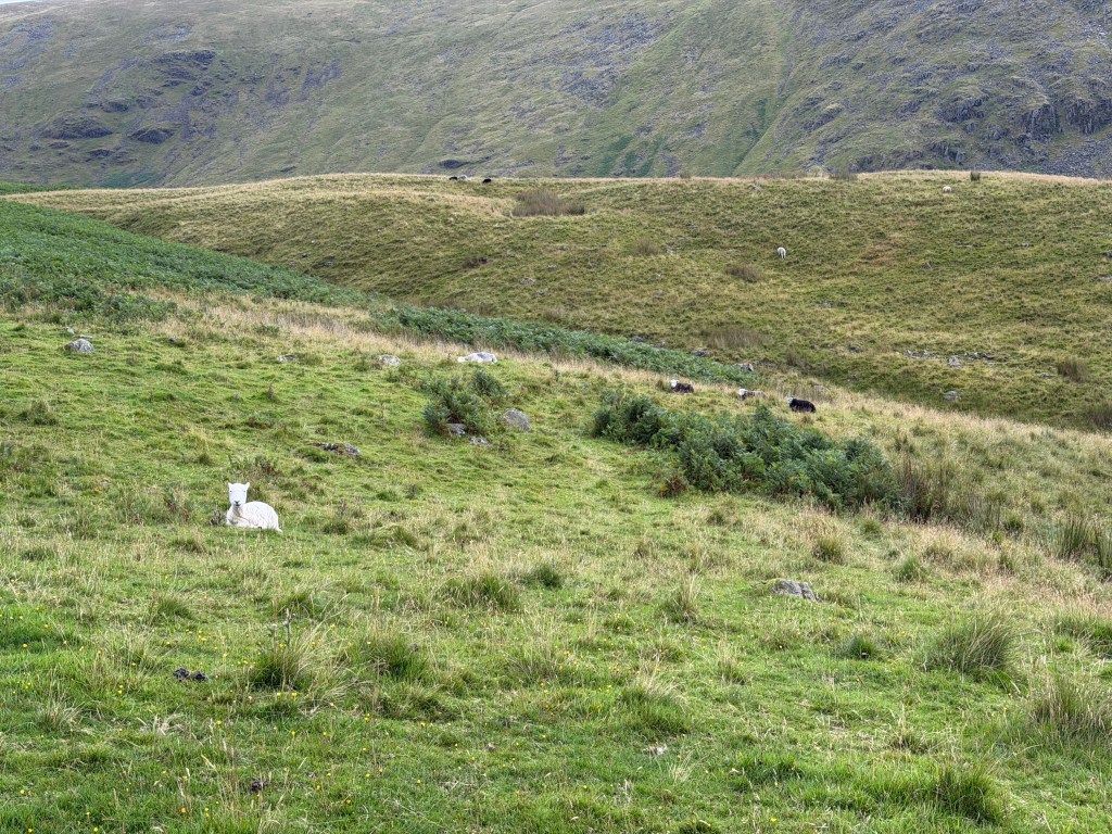
As I continued the climb, I encountered more sheep coming out of the bracken, or still lying down from last night’s sleep. At one point, 2 sheep approached me from up the trail, when I was in a somewhat open spot. They stopped and we stared at each other for a bit, and then they actually walked towards me (a first!), continuing down the path.
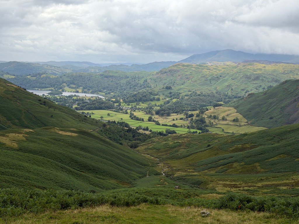
As I was chugging up the hill, I stopped frequently to look back over the valley (and catch my breath). At one point I heard the sound of a military jet, turned and watched as it zipped through low in Grasmere valley. Apparently Grasmere and surrounding Lake District valleys are in Low Flying Area 17 (LFA 17), and sightings of RAF and USAF jets are common. I’d see a couple more later that day. Sadly, I was never fast enough to get a picture.
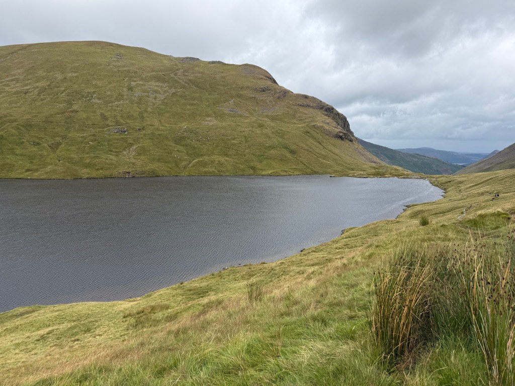
Finally I made it up to the top of the climb and turned right towards Hause Riggs, on a mercifully level (if soggy) bit of trail, until I met up with the low/official route before turning left and heading up to Grisedale Hause. Upon going over the saddle, the pretty Grisedale Tarn appeared.
The St Sunday Route
It is around Grisedale Tarn that the biggest route decision is made: Helvellyn/Striding Edge, St Sunday, or the low route along Grisedale valley. Initially I headed up the wrong way, on a path going to Fairfield summit, but quickly realized my mistake. As I was turning around I met up with a guy coming down and heading up Helvellyn, but not Striding Edge (he seemed to know the area and agreed this was not the appropriate weather). Walking around Grisedale Tarn, we chatted about the work exchange he’s been doing with Workaway and WWOOF for the last few years, until we hit the turn where I headed up to St Sunday.
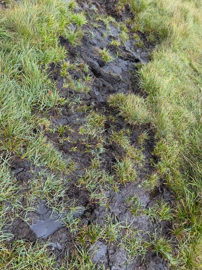
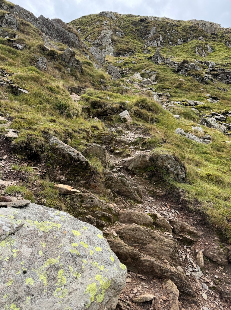
The path started out boggy and poorly defined, but I knew roughly where I was headed thanks to the apps I was using (FarOut and Pedometer++), so I just kept going in that general direction. Approaching the ridge, the path got much steeper, requiring me to scramble up while trying to stay on route. It was dicey for a bit, especially being out there by myself, but I was being careful.
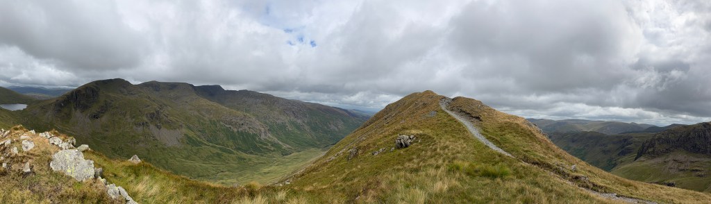
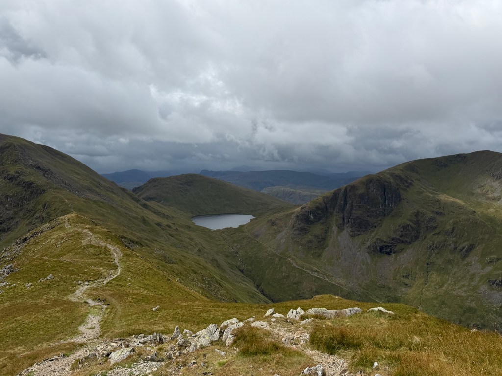
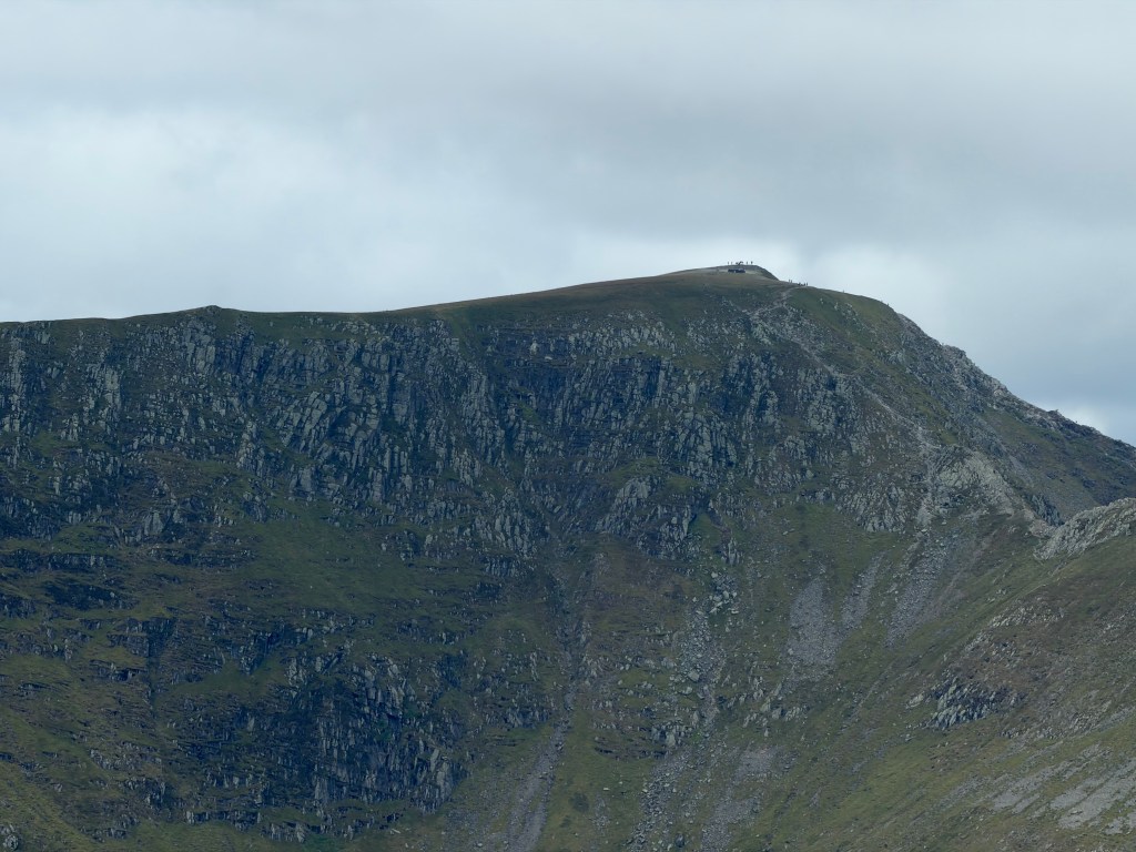
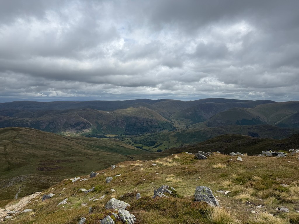
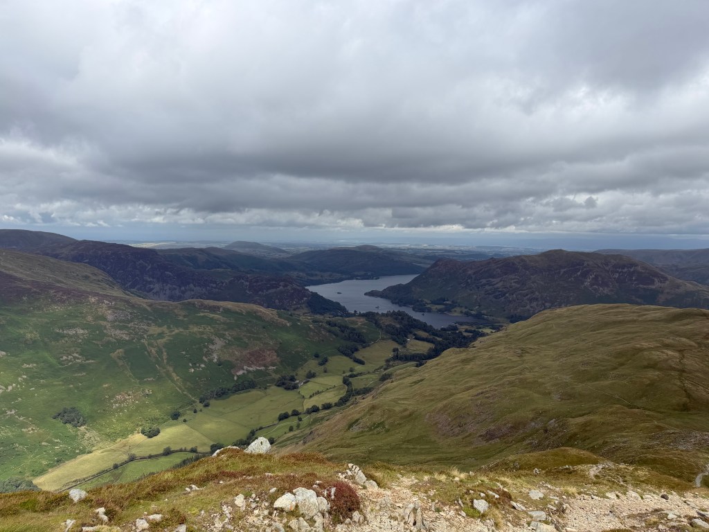
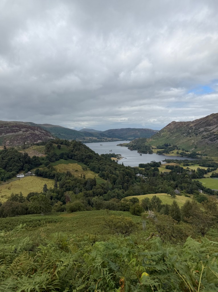
Up on the ridge line, the path was clear all the way to St Sunday Crag and on to The Cape. The wind had picked up and my stomach was grumbling, so I stopped along the way behind a rocky outcropping to eat a snack and put back on my jacket and beanie. As I was walking, I also kept scanning the ridges across the valley, trying to see Helvellyn and Striding Edge. I’m not sure I ever saw them, but at some point I told myself to stop worrying about what I might have done and just enjoy what I’m doing. The views from the ridge were amazing, looking back at Grisedale Tarn and the surrounding fells, down into Grisedale valley on the left and Deepdale valley on the right, and ahead to Ullswater.
Down to Patterdale
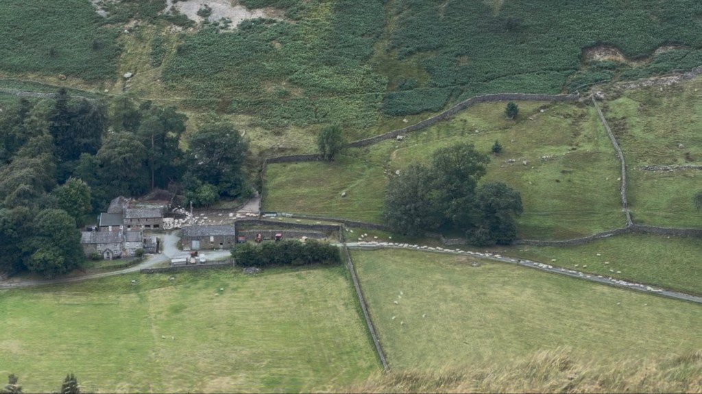
Eventually it was time to head down, on a long, gentle descent. Along the way, I heard what sounded like lots of animals in the valley to my left, maybe coyotes or dogs, but I couldn’t place the sound. I kept walking for a while, and at some point looked down and saw it: hundreds of sheep streaming out of a barn at Braesteads Farm and into the fields, making quite a commotion!
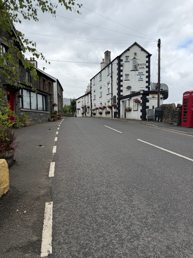
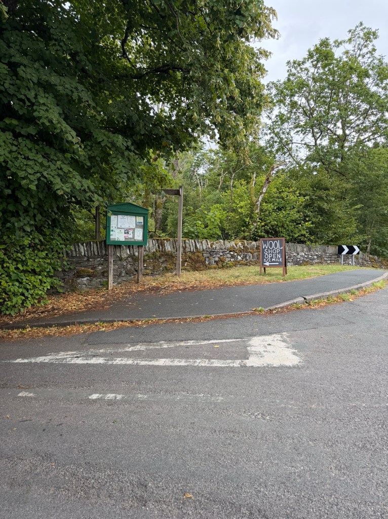
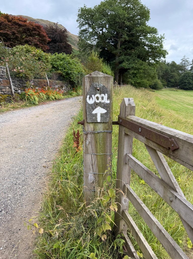
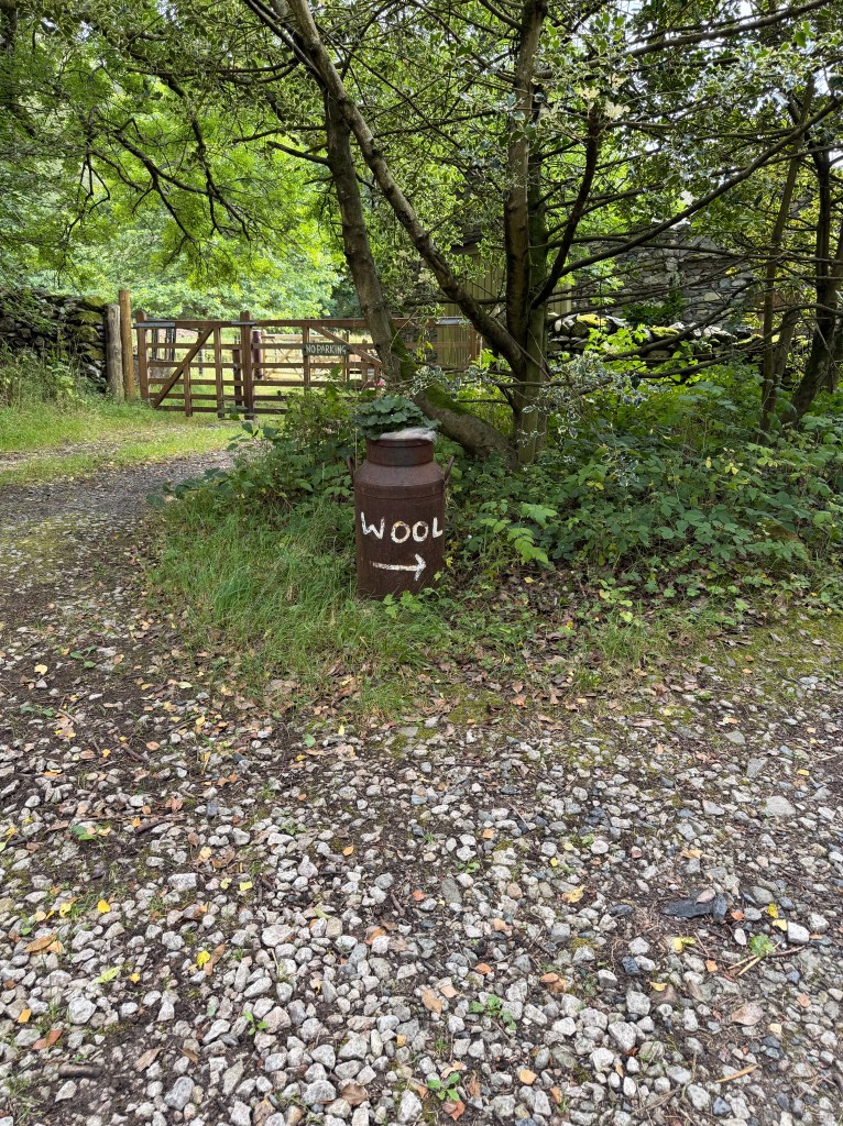
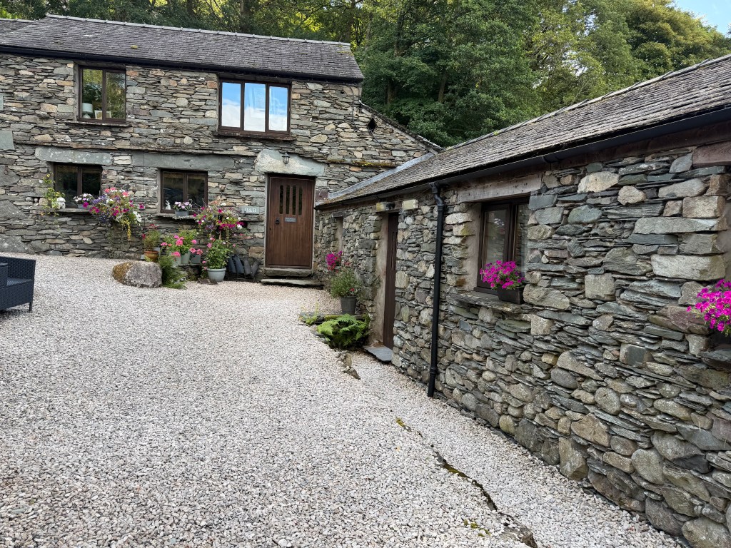
The descent got steeper and sketchier when I hit Glenamara Park, but I got to chat with Lee, so that made it more tolerable. Finally I came up to the road in Patterdale, with the White Lion on my left, and saw the first of several “Wool” signs that guided me to my home for the night, Crookabeck Farm B&B.
A Cozy Evening at Crookabeck
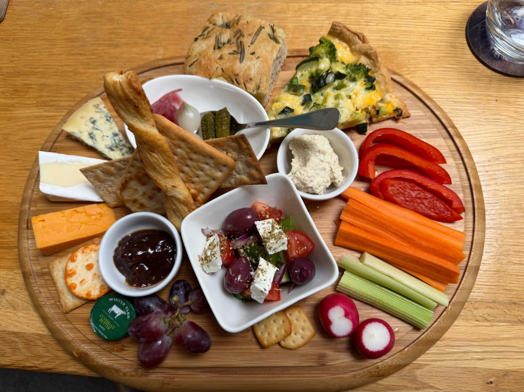
Adam greeted me, showed me my room and the guest lounge, and gave me a basket for my laundry which they washed and returned later that evening. After a long hot shower, I went to the lounge for a glass of wine and lemon drizzle cake while writing in my journal. I’d ordered a vegetarian grazing board for dinner, which exceeded expectations: warm quiche and focaccia, 3 kinds of cheeses with crackers and accompaniments, Greek feta salad, and hummus and veggies.
While I was eating, Lorna and Ettie, an English mother and daughter I’d met on the trail, arrived to stay in the other room (the rooms shared a lounge). While we were chatting, I asked which route they’d taken; they did Helvellyn/Striding Edge. Seems like it was actually OK in the weather, so maybe I could have done it. I guess I’ll have to come back 😉
After we were all done with dinner, Adam took us over to the farm/wool shop where I bought some gifts, and then we had ice cream when we got back to the lounge. Finally it was time to turn in; I think I’ll sleep well tonight.


Leave a comment