Wednesday, August 5, 2026
Note: When I say “the book,” I’m referring to Coast to Coast Path: British Walking Guide by Henry Stedman (I have the 10th edition). When I reference something Wainwright said, I’m quoting from his book, A Coast to Coast Walk: A Pictorial Guide (I have the Readers Edition, published in 2017). You’ll find these and other resources on the Resources & Further Reading page.
💡PRO TIP: Bring trekking poles. I don’t normally hike with them at home, and have only used them here when the ascent or descent is particularly sketchy (steep, with unstable footing). But they really saved me when I needed them, preventing several potentially bad falls. It’s only possible to use poles some of the time if you bring them with you.
9.49 miles / 3,458 ft elevation gain
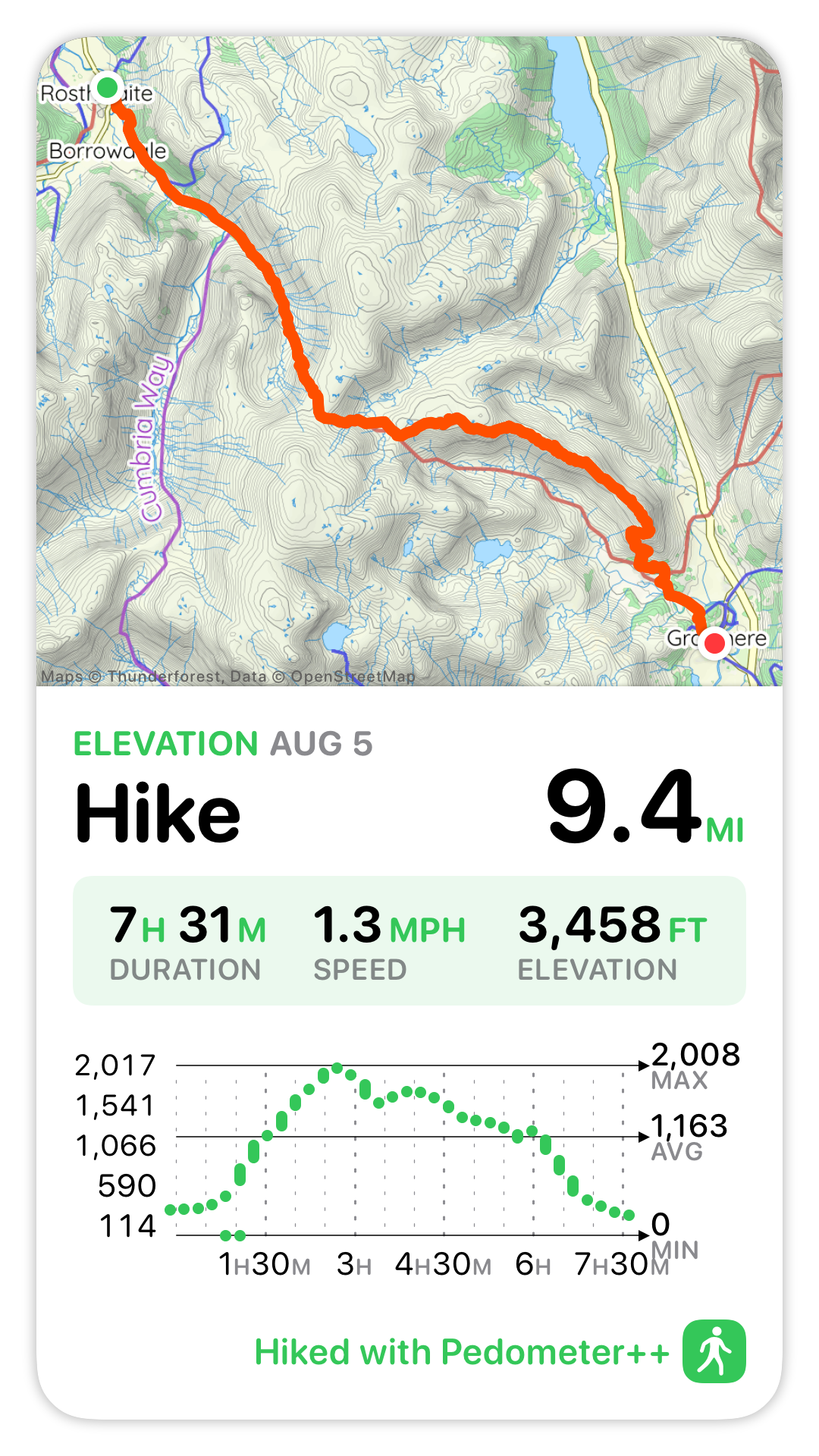
Today really took it up a notch! Although the distance was shorter, the weather was worse and the route was harder. Still, I felt exhilarated (and hungry, and sore) by the time I was walking into Grasmere.
I was determined to do today’s high route option (over Calf Crag → Moment Crag → Gibson Knott → Helm Crag), since I had to skip the high route yesterday. It’s important to note that the “low” routes on the C2C, which are typically the official routes, are by no means easy. For instance, I reached the high route/low route decision point about 3.5 hours into my hike today, after completing the difficult (and not-optional) 1,700 ft climb up to Lining Crag and then Greenup Edge.
Leaving Rosthwaite
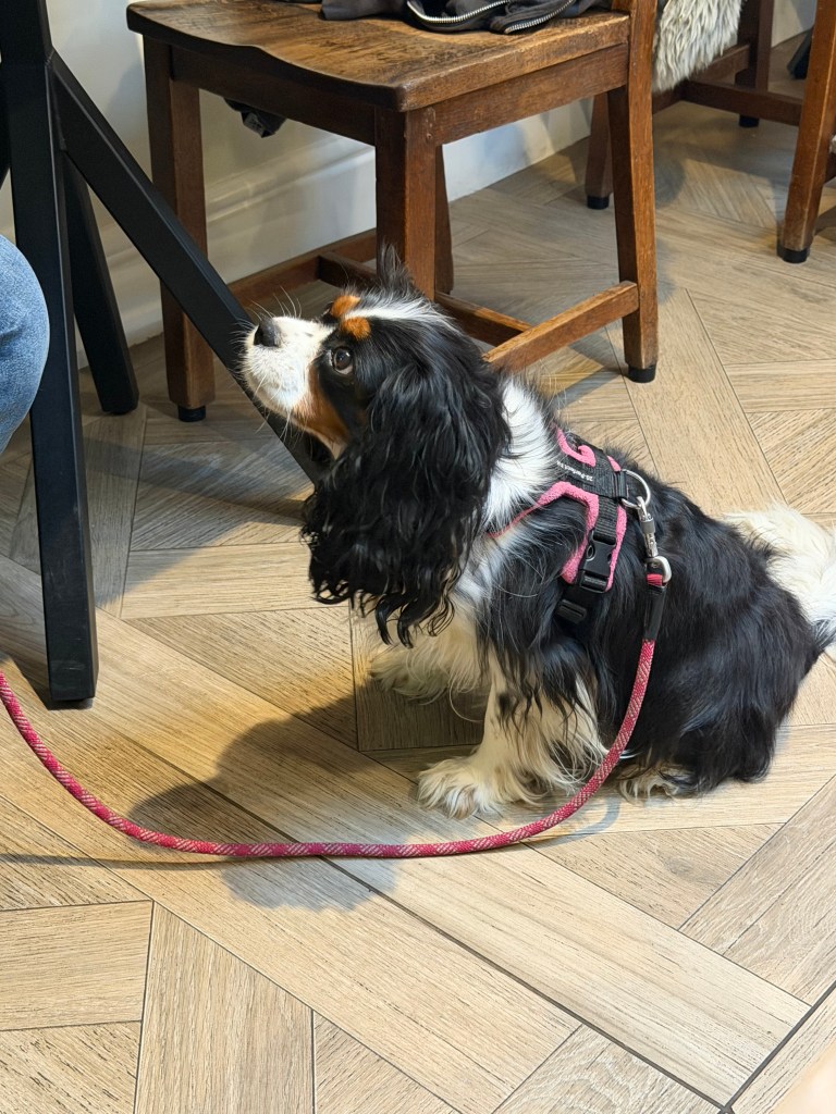
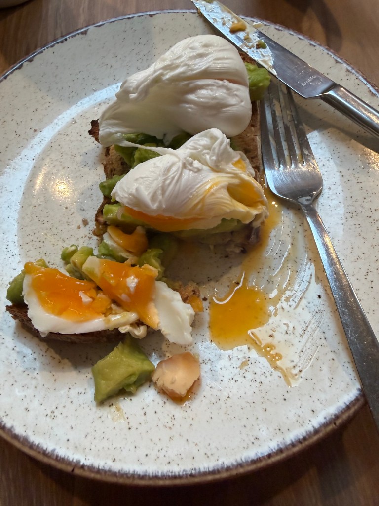
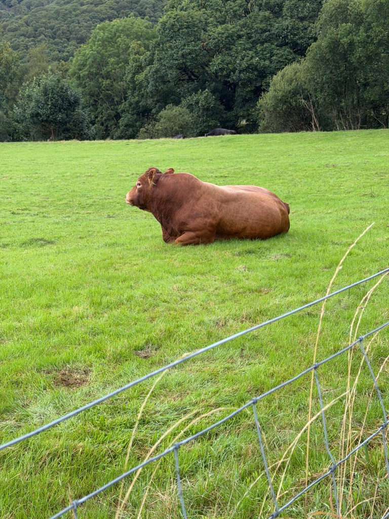
The day started with a lovely breakfast at The Royal Oak, sitting next to Poppy, a Cavalier King Charles Spaniel. Poached eggs and smashed avocado on a thick slice of sourdough. Perfect fuel for the climb. Just after leaving, I passed a giant red bull (not the drink) in a pasture. As I was walking by, he laid down, turning his back to me while still watching me out of the corner of his eye.
The Climb to Lining Crag
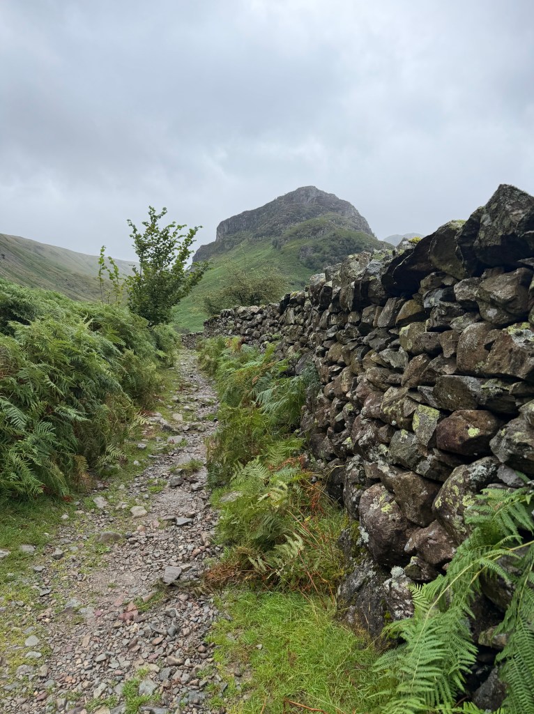
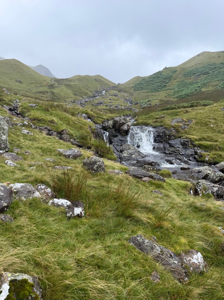
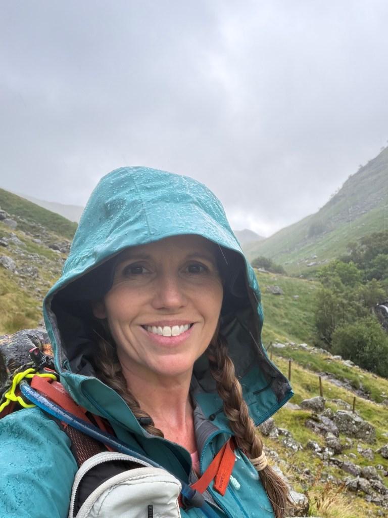
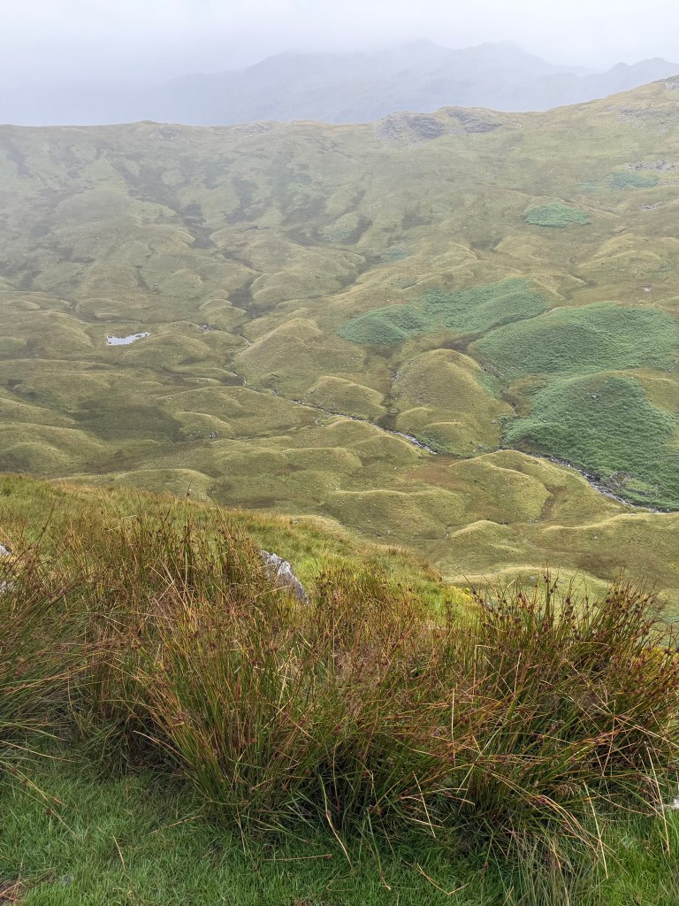
Following the path along Stonethwaite Beck, as the book suggested, I noted the “looming presence” of Eagle Crag, which I’d be looking down on from Greenup Edge in a few hours. The climb started gradually, and then became steeper and steeper. On the way up, the path passed through drumlins (grassy mounds formed by glaciers), which I only noticed when looking at photos that evening. At some point it had started raining, and then it really rained, making the rocky path even more slippery.
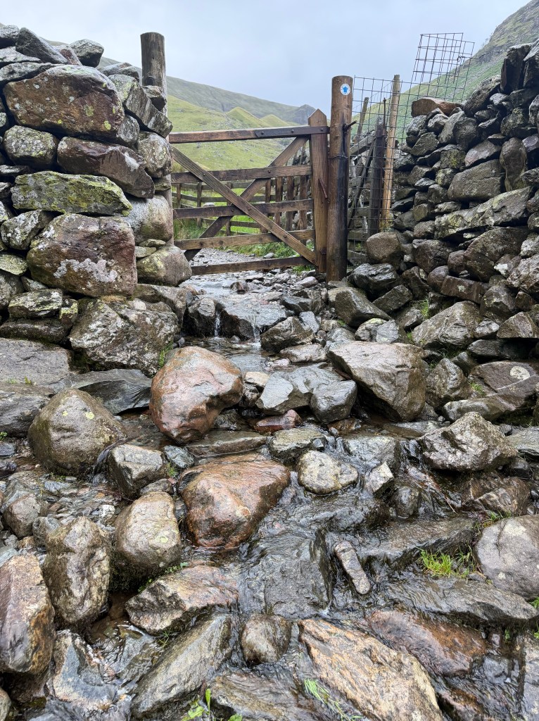
There were numerous stream crossings (and in some cases the path was a stream), so there was no hope of keeping dry feet. I realized that the lightweight hiking socks I’d put on in the morning (I’m running out of clean clothes) were going to lead to blisters, so I stopped to get my emergency backup pair from my backpack and put them on top the others.
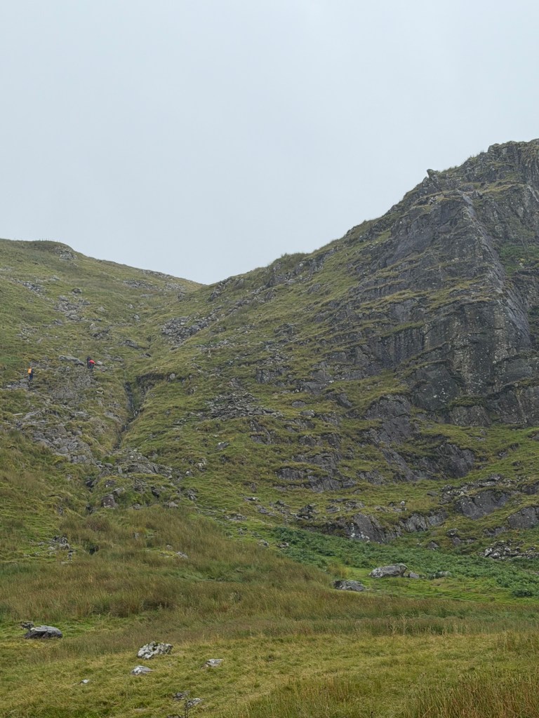
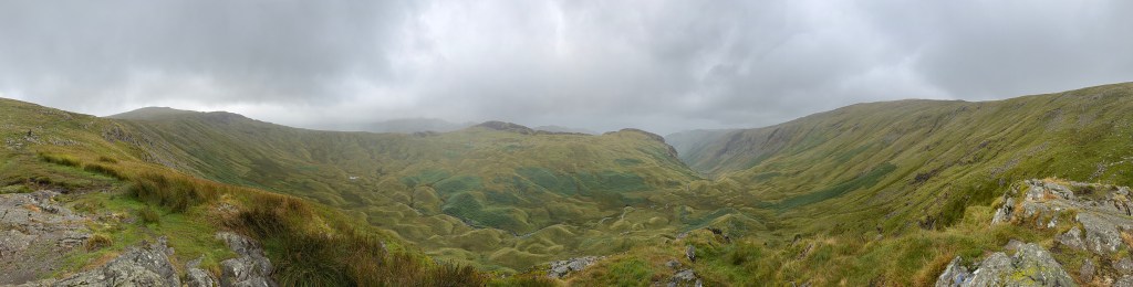
The last stretch up to Lining Crag was especially steep and rocky, and the path was unclear. All I could do was keep trying to make progress uphill, following the path of fellow hikers. Arriving at the top, the feelings of relief and awe at the view were overwhelming, and made the effort worth it.
Greenup Edge
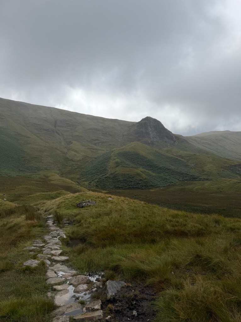
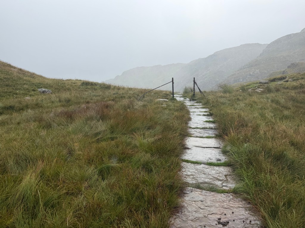
Just past Lining Crag, the National Trust has been laying a flagstone path across a notoriously boggy and hard-to-navigate section leading to Greenup Edge. At this point, I realized that the driving wind and rain had thoroughly saturated my pants, and water was running down into my boots. I had considered putting on my waterproof pants when the rain initially worsened, but I was already struggling with being overheated in my rain jacket. Now that I was past the worst of the climb, I figured better now than never. I found a place to stop and pull them on over top of my soaking wet hiking pants. The Dutch family passed me while I was stopped, asking if I was OK. I can understand why they might be worried.
Taking the High Route
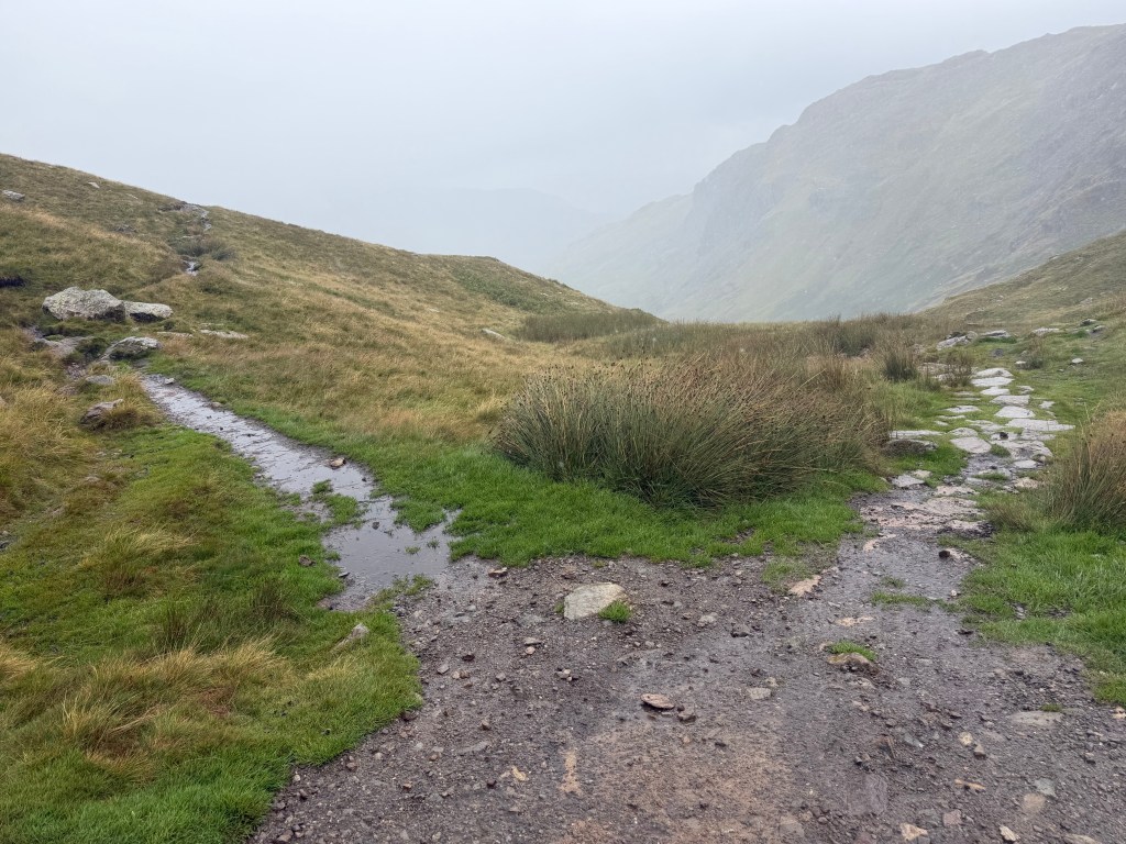
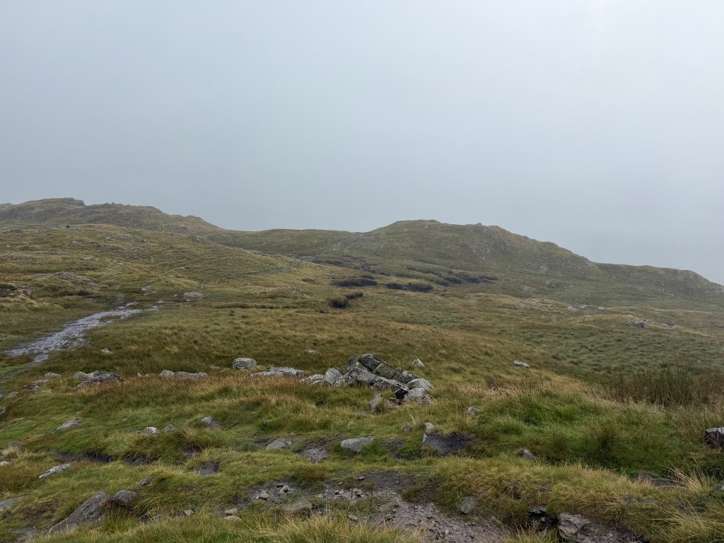
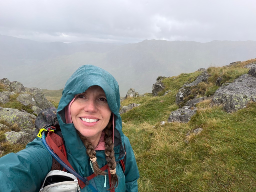
A bit later, it was decision time, and I hung a left, up the high route. I got around the corner and up to the ridge line, where I experienced real wind and rain that was hitting my face so hard it hurt. The path on this alternative route was much more challenging, alternating between very rocky and very boggy, making me truly appreciate my poles. Most of the time when I’m hiking, the poles are strapped to my pack or I carry them in my hand, but when I need them, they are so, so useful. They provide an extra point of support when going up or down big steps with loose rocks. In the boggy parts, I use them to find where I can step without getting my boots sucked off (sometimes resulting in my having to forcibly remove my pole).
There were quite a few people passing me in the opposite direction, including a family with 3 children who seemed to be having a rough time, as well as a few individuals or pairs of people who seemed to be locals with small or no backpacks, not struggling with the terrain at all.
TIL: When the weather is truly bad, locals say “Mighty fine day, isn’t it?”
I’d been worried about the steep descent down the last peak, Helm Crag, and this was getting me worried it was really bad, that people were turning back. Finally two young women approached and asked how far away the path down to the low route was, and whether it was worth it to keep going (over two more peaks; yes). They told me they were doing a loop from Grasmere, up the high route then back via the low route. That explains it!
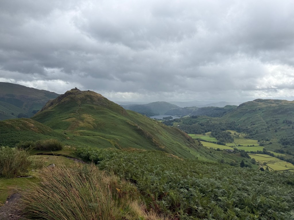
I continued atop the ridge line, admiring the views all around me, while trying not to get blown over or take a tumble, eventually making it to Helm Crag.
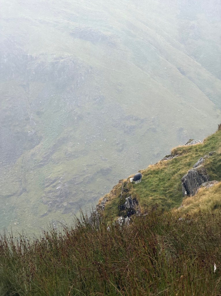
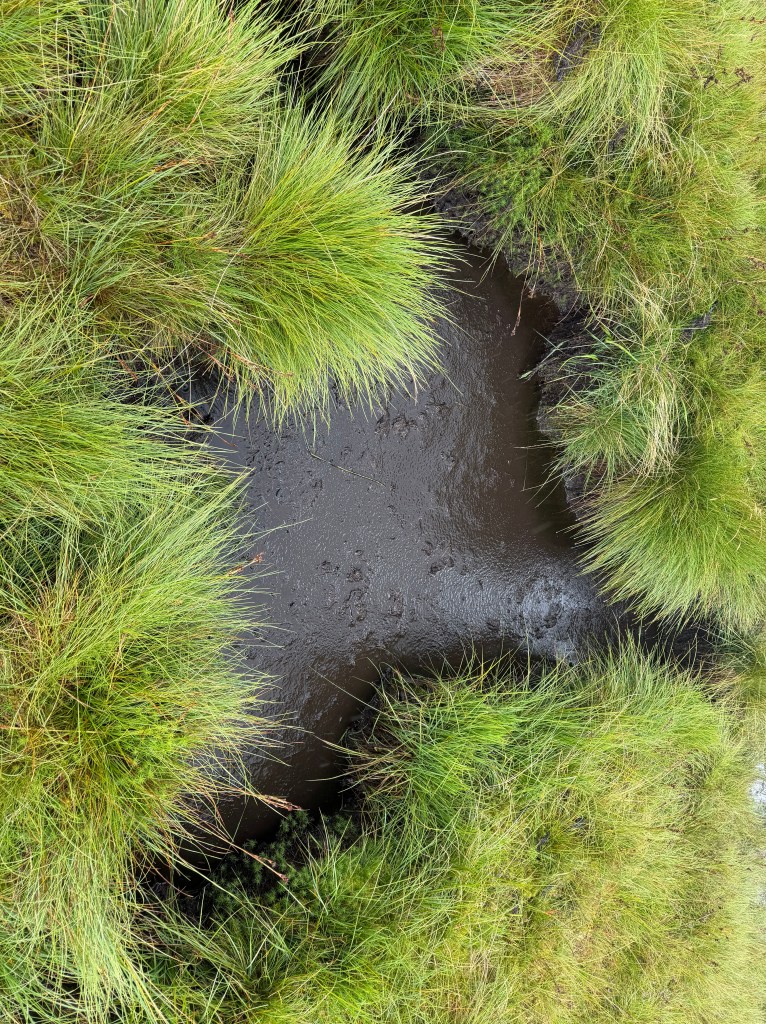
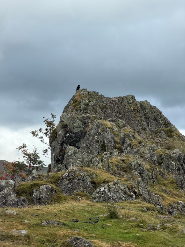
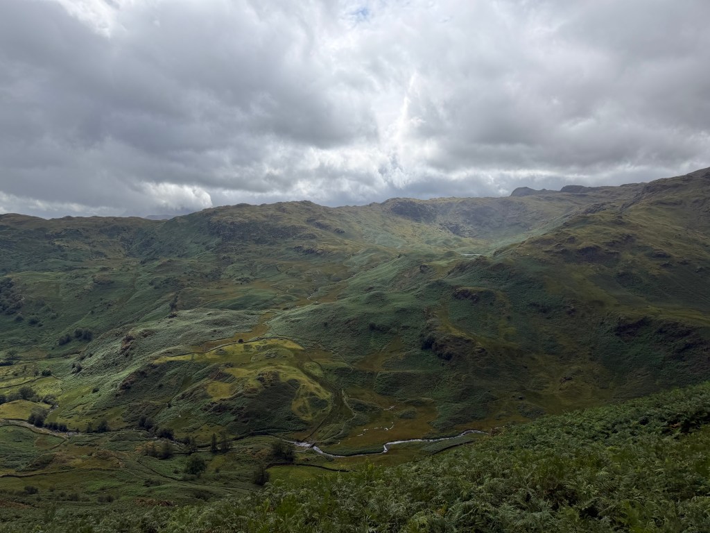
The Descent
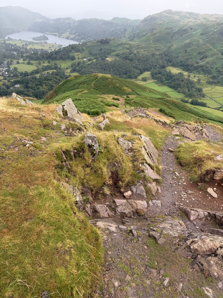
It was nearly 3pm and I hadn’t eaten any lunch yet, so I was ready to head down. The descent was steep, but not nearly as treacherous as I’d envisioned. Much of it was gravelly path or rocky steps, aside from a few sketchy spots.
I also got to talk to Lee during this part. This has become a wonderful daily tradition for us, while he’s getting ready for work in the morning and I’m finishing up my walk. I can tell him all about my adventures while they are fresh in my mind.
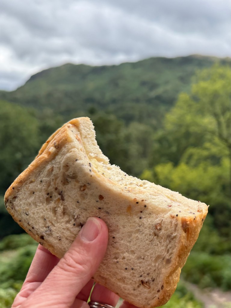
He also convinced me to take a quick stop on the way down to at least eat something. I needed a little fuel to finish the descent, get checked in and cleaned up, and go find dinner. He’s smart, that one.
Into Grasmere
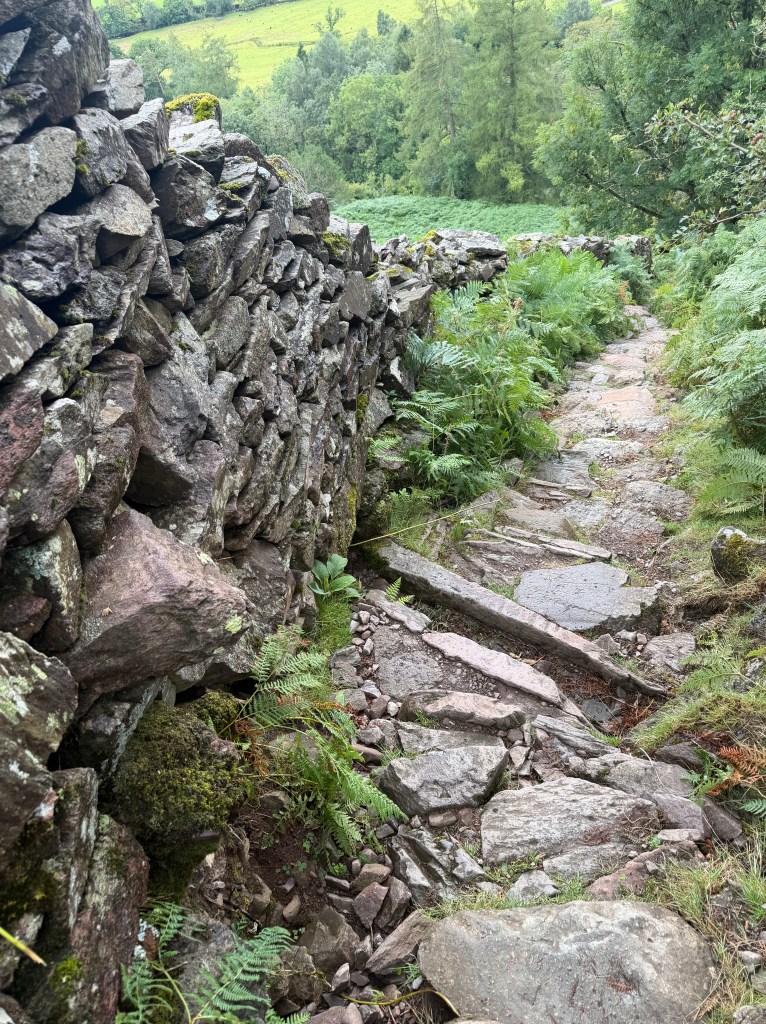
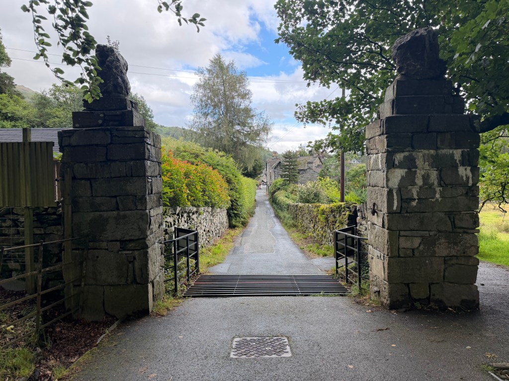
Coming into Grasmere, I took the Poets Walk detour in Lancrigg Wood, as the book suggested. It was lovely, but to be honest I was ready to be in my room, stripping out of my wet clothes and warming up.
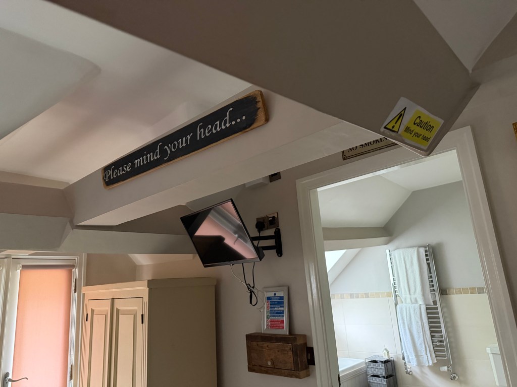
The village of Grasmere is lovely; I can see why it attracts so many tourists. Finally I made it to my home for tonight, Jacksons Cafébar & Guesthouse. My room was on the top floor (lots of steep stairs to lug my heavy bag up) and was again made for someone just my height, with numerous “mind your head” signs. How do I keep ending up in these rooms?
Gingerbread and Dinner
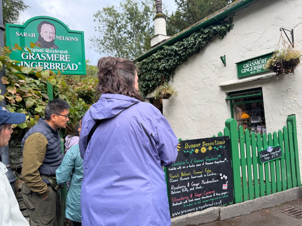
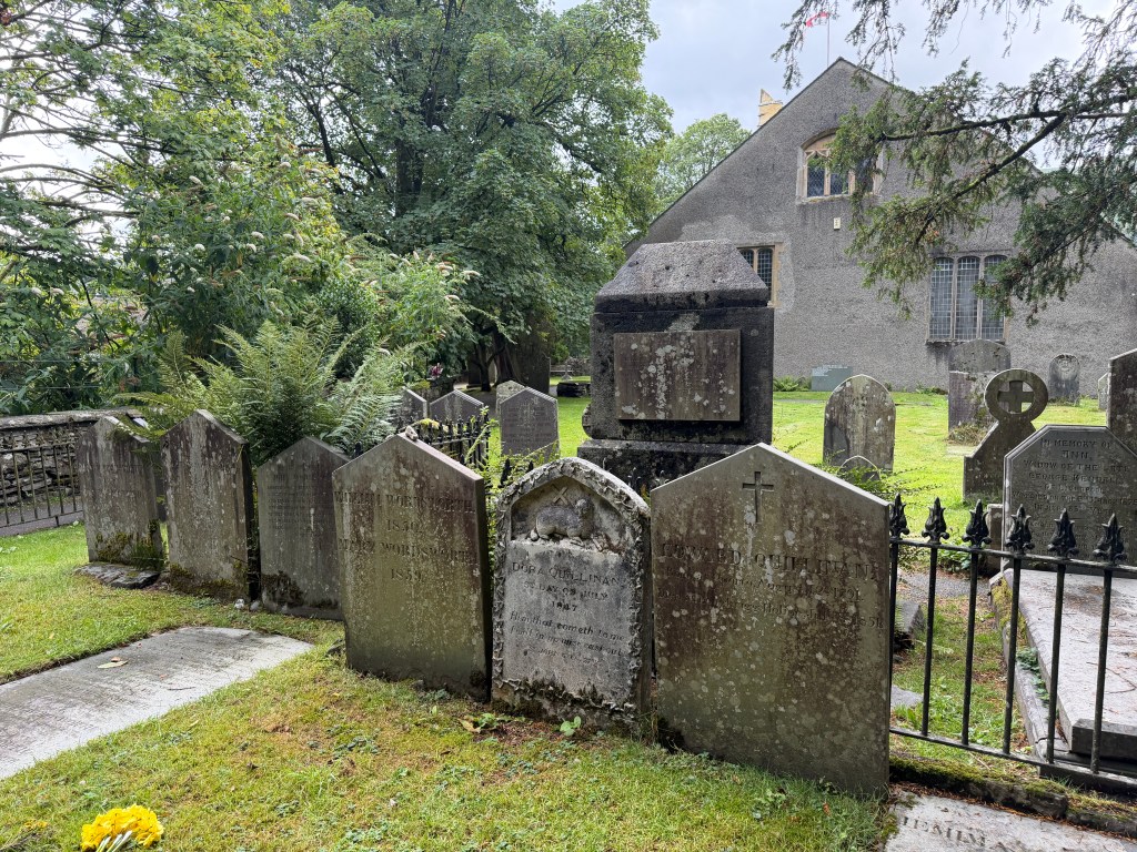
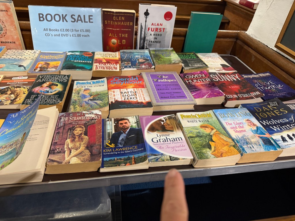
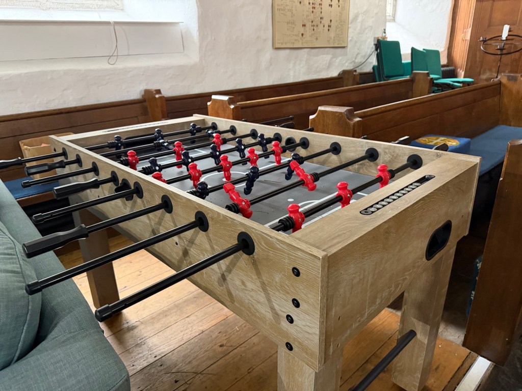
Being a cafe, Jacksons isn’t open late, so I had to find somewhere else to eat dinner. I cleaned up quickly because I wanted to stop by Grasmere Gingerbread. I made it there 5 minutes before closing to find a line (and a longer one quickly formed behind me). Gingerbread in hand, I walked next door to St Oswald’s to see where the Wordsworth graves are and look inside the church, where I found two surprising things inside the chapel.
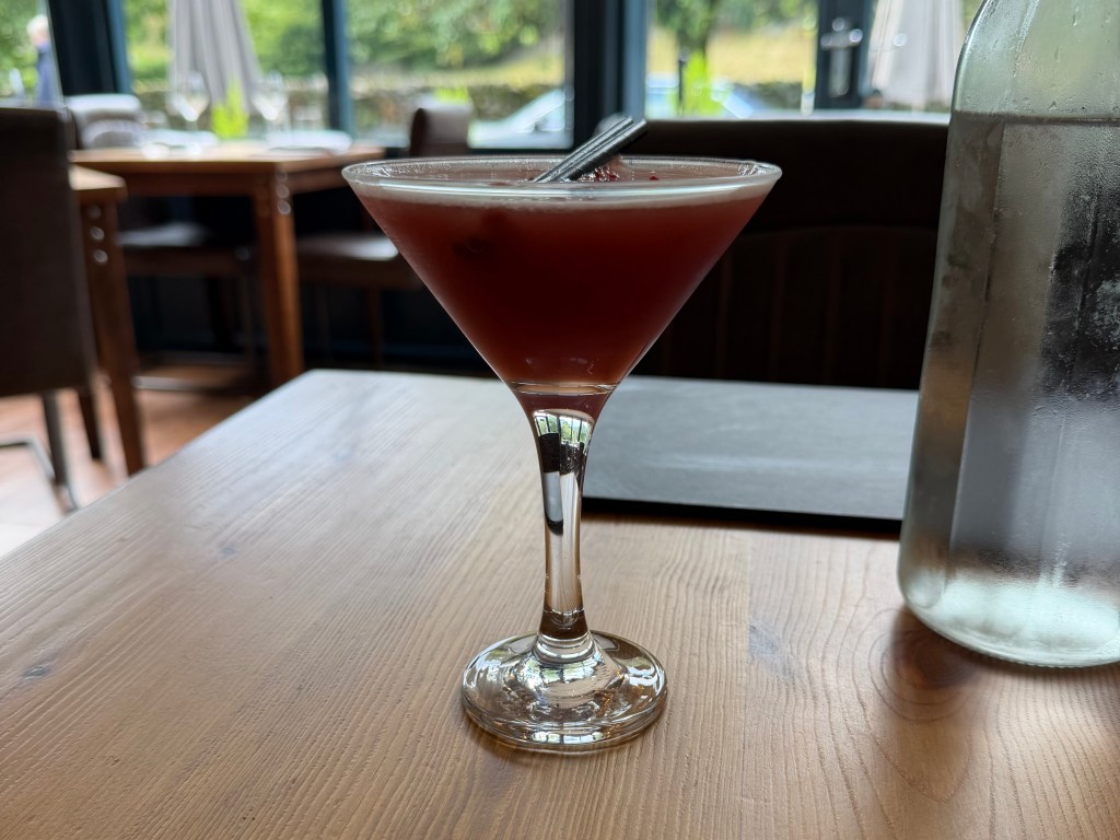
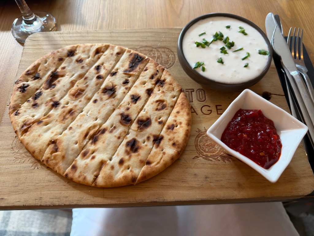
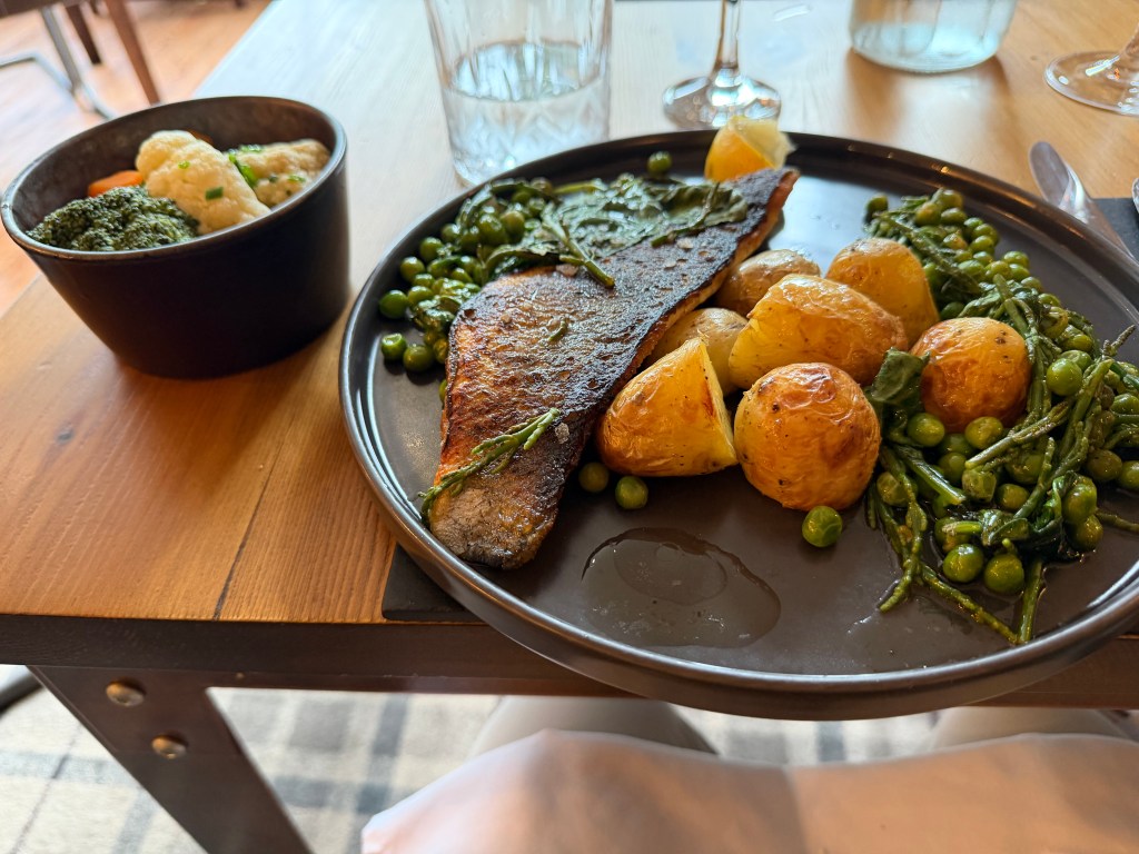
Finally, it was 6pm, and I headed to Lewis’s Bistro for dinner, where I was the first person to walk in after they flipped the sign from Closed to Open. I’d researched this place a while back, and it did not let me down. Perfectly made strawberry daiquiri (not the frozen kind), divine whipped feta appetizer, and grilled sea bass with potatoes and peas.
Exhausted, I headed back to Jacksons for a shower, then a peppermint tea before bed.


Leave a comment